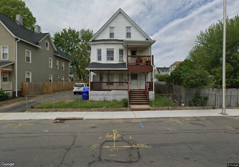
334 Liberty St Unit 336 Springfield, MA 01104
Liberty Heights NeighborhoodEstimated Value: $337,000 - $409,000
8
Beds
3
Baths
2,604
Sq Ft
$145/Sq Ft
Est. Value
About This Home
This home is located at 334 Liberty St Unit 336, Springfield, MA 01104 and is currently estimated at $376,401, approximately $144 per square foot. 334 Liberty St Unit 336 is a home located in Hampden County with nearby schools including Mary M. Walsh Elementary School, High School Of Commerce, and Springfield High School of Science and Technology.
Ownership History
Date
Name
Owned For
Owner Type
Purchase Details
Closed on
Mar 7, 2023
Sold by
Jv Properties Inc
Bought by
Gomez Santos A
Current Estimated Value
Home Financials for this Owner
Home Financials are based on the most recent Mortgage that was taken out on this home.
Original Mortgage
$271,308
Outstanding Balance
$262,208
Interest Rate
6.15%
Mortgage Type
Purchase Money Mortgage
Estimated Equity
$114,193
Purchase Details
Closed on
May 27, 2010
Sold by
Bank Of New York Mello
Bought by
Jv Prop Llc
Purchase Details
Closed on
Jul 27, 2005
Sold by
Deleon Ana and Deleon Eliseo
Bought by
Pita Raymond
Home Financials for this Owner
Home Financials are based on the most recent Mortgage that was taken out on this home.
Original Mortgage
$134,400
Interest Rate
5.67%
Mortgage Type
Purchase Money Mortgage
Purchase Details
Closed on
May 21, 2003
Sold by
Claudio Juan M and Claudio Ramona
Bought by
Deleon Ana and Deleon Eliseo
Home Financials for this Owner
Home Financials are based on the most recent Mortgage that was taken out on this home.
Original Mortgage
$105,000
Interest Rate
5.86%
Mortgage Type
Purchase Money Mortgage
Purchase Details
Closed on
Sep 18, 1995
Sold by
Annino Samuel V
Bought by
Claudio Juan M and Claudio Ramona
Purchase Details
Closed on
Oct 21, 1991
Sold by
Usa Hsng Urban Dev
Bought by
Annino Samuel V
Purchase Details
Closed on
Oct 31, 1990
Sold by
Wright Curtis R
Bought by
Independence One Mtg
Purchase Details
Closed on
Sep 6, 1989
Sold by
Wright Curtis R
Bought by
Chiaravalle John L
Purchase Details
Closed on
Aug 31, 1988
Sold by
Chiaravalle John L
Bought by
Wright Curtis R
Purchase Details
Closed on
Mar 11, 1988
Sold by
Cogswell David W
Bought by
Chiaravalle John L
Create a Home Valuation Report for This Property
The Home Valuation Report is an in-depth analysis detailing your home's value as well as a comparison with similar homes in the area
Home Values in the Area
Average Home Value in this Area
Purchase History
| Date | Buyer | Sale Price | Title Company |
|---|---|---|---|
| Gomez Santos A | $294,900 | None Available | |
| Jv Prop Llc | $38,600 | -- | |
| Bank Of New York Mello | $176,324 | -- | |
| Jv Prop Llc | $38,600 | -- | |
| Bank Of New York Mello | $176,324 | -- | |
| Pita Raymond | $168,000 | -- | |
| Pita Raymond | $168,000 | -- | |
| Deleon Ana | $105,000 | -- | |
| Deleon Ana | $105,000 | -- | |
| Claudio Juan M | $29,000 | -- | |
| Annino Samuel V | $20,006 | -- | |
| Independence One Mtg | $131,108 | -- | |
| Chiaravalle John L | $1,000 | -- | |
| Chiaravalle John L | $1,000 | -- | |
| Wright Curtis R | $104,000 | -- | |
| Chiaravalle John L | $87,900 | -- |
Source: Public Records
Mortgage History
| Date | Status | Borrower | Loan Amount |
|---|---|---|---|
| Open | Gomez Santos A | $271,308 | |
| Previous Owner | Pita Raymond | $134,400 | |
| Previous Owner | Pita Raymond | $33,600 | |
| Previous Owner | Deleon Ana | $105,000 |
Source: Public Records
Tax History Compared to Growth
Tax History
| Year | Tax Paid | Tax Assessment Tax Assessment Total Assessment is a certain percentage of the fair market value that is determined by local assessors to be the total taxable value of land and additions on the property. | Land | Improvement |
|---|---|---|---|---|
| 2025 | $3,920 | $250,000 | $31,200 | $218,800 |
| 2024 | $3,744 | $233,100 | $31,200 | $201,900 |
| 2023 | $3,615 | $212,000 | $28,300 | $183,700 |
| 2022 | $3,984 | $211,700 | $26,500 | $185,200 |
| 2021 | $3,226 | $170,700 | $24,100 | $146,600 |
| 2020 | $3,084 | $157,900 | $24,100 | $133,800 |
| 2019 | $2,515 | $127,800 | $24,100 | $103,700 |
| 2018 | $2,540 | $141,200 | $24,100 | $117,100 |
| 2017 | $2,540 | $129,200 | $17,400 | $111,800 |
| 2016 | $2,410 | $122,600 | $17,400 | $105,200 |
| 2015 | $2,286 | $116,200 | $17,400 | $98,800 |
Source: Public Records
Map
Nearby Homes
- 20 Webster St
- 69 Winter St
- 385 Worthington St Unit 3D
- 140 Chestnut St Unit 706
- 140 Chestnut St Unit 204
- 140 Chestnut St Unit 819
- 140 Chestnut St Unit 607
- 140 Chestnut St Unit 210
- 140 Chestnut St Unit 202
- 140 Chestnut St Unit 604
- 140 Chestnut St Unit 709
- 42 Ringgold St
- 482 Chestnut St
- LOT 3 N S Worthington St
- 13 Ringgold St
- 235 State St Unit 105
- 235 State St Unit 409
- 235 State St Unit 220
- 57 Narragansett St
- 59 Ingersoll Grove
- 334-336 Liberty St
- 346 Liberty St
- 330 Liberty St Unit 332
- 17 Vinton St
- 9 Webster St Unit 11
- 324 Liberty St Unit 326
- 324-326 Liberty St
- 15-17 Vinton St
- 15 Vinton St
- 23 Vinton St
- 17 Webster St Unit 19
- 21 Vinton St
- 25 Webster St
- 27 Vinton St
- 25-27 Vinton St
- 25 Vinton St
- 312 Liberty St Unit 314
- 331 Liberty St
- 29 Webster St
- 14 Webster St Unit 16