334 Long Point Rd Crownsville, MD 21032
Herald Harbor NeighborhoodEstimated Value: $573,000 - $798,000
--
Bed
1
Bath
1,520
Sq Ft
$438/Sq Ft
Est. Value
About This Home
This home is located at 334 Long Point Rd, Crownsville, MD 21032 and is currently estimated at $665,989, approximately $438 per square foot. 334 Long Point Rd is a home located in Anne Arundel County with nearby schools including South Shore Elementary School and Old Mill High School.
Ownership History
Date
Name
Owned For
Owner Type
Purchase Details
Closed on
Jun 11, 2025
Sold by
Martin Margaret B
Bought by
Margaret B Martin Revocable Trust and Martin
Current Estimated Value
Purchase Details
Closed on
Jan 9, 1997
Sold by
Howe Mariam A
Bought by
Martin Margaret B
Create a Home Valuation Report for This Property
The Home Valuation Report is an in-depth analysis detailing your home's value as well as a comparison with similar homes in the area
Home Values in the Area
Average Home Value in this Area
Purchase History
| Date | Buyer | Sale Price | Title Company |
|---|---|---|---|
| Margaret B Martin Revocable Trust | -- | None Listed On Document | |
| Margaret B Martin Revocable Trust | -- | None Listed On Document | |
| Martin Margaret B | $175,000 | -- |
Source: Public Records
Mortgage History
| Date | Status | Borrower | Loan Amount |
|---|---|---|---|
| Closed | Martin Margaret B | -- |
Source: Public Records
Tax History Compared to Growth
Tax History
| Year | Tax Paid | Tax Assessment Tax Assessment Total Assessment is a certain percentage of the fair market value that is determined by local assessors to be the total taxable value of land and additions on the property. | Land | Improvement |
|---|---|---|---|---|
| 2025 | $3,744 | $655,600 | $456,000 | $199,600 |
| 2024 | $3,744 | $611,567 | $0 | $0 |
| 2023 | $3,608 | $567,533 | $0 | $0 |
| 2022 | $3,349 | $523,500 | $366,000 | $157,500 |
| 2021 | $3,215 | $521,967 | $0 | $0 |
| 2020 | $3,215 | $520,433 | $0 | $0 |
| 2019 | $3,171 | $518,900 | $366,000 | $152,900 |
| 2018 | $5,119 | $504,800 | $0 | $0 |
| 2017 | $2,986 | $490,700 | $0 | $0 |
| 2016 | -- | $476,600 | $0 | $0 |
| 2015 | -- | $447,133 | $0 | $0 |
| 2014 | -- | $417,667 | $0 | $0 |
Source: Public Records
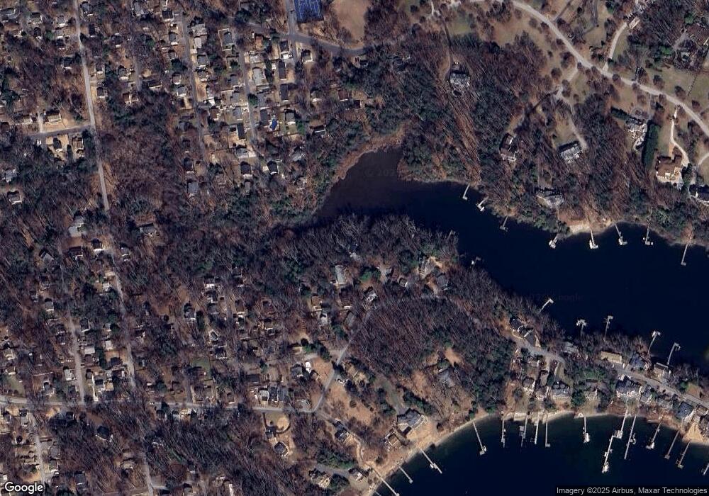
Map
Nearby Homes
- 852 Birch Trail
- 359 Hall Rd
- 355 Kyle Rd
- 0 Whitewood Trail
- 872 Redwood Trail
- Lots 25 and 26 Redwood Trail
- Lots 27 and 28 Redwood Trail
- Lots 23 and 24 Redwood Trail
- 0 Redwood Trail Unit MDAA2111808
- 0 Redwood Trail Unit MDAA2111804
- 330 S Riverside Dr
- 0 Herald Harbor Rd Unit MDAA2123892
- 0 Elm Trail
- 0 Beech Trail
- 975 Diggs Rd
- 938 Diggs Rd
- 902 Hine Trail
- 366 Walnut Trail
- 478 Mountain Rd
- 0 Yew Trail Unit MDAA2121932
- 853 Hazel Trail
- 314 Long Point Rd
- 855 Hazel Trail
- 336 Long Point Rd
- 858 Hazel Trail
- 856 Hazel Trail
- 308 Long Point Rd
- 338 Long Point Rd
- 854 Hazel Trail
- 841 Oak Trail
- 840 Hazel Trail
- 837 Hazel Trail
- 318 Long Point Rd
- 862 Oak Trail
- 869 Oak Trail
- 835 Hazel Trail
- 836 Hazel Trail
- 864 Oak Trail
- 839 Oak Trail
- 855 Birch Trail