334 Mundys Landing Rd Harrodsburg, KY 40330
Estimated Value: $336,000 - $498,000
2
Beds
2
Baths
1,648
Sq Ft
$253/Sq Ft
Est. Value
About This Home
This home is located at 334 Mundys Landing Rd, Harrodsburg, KY 40330 and is currently estimated at $417,000, approximately $253 per square foot. 334 Mundys Landing Rd is a home located in Mercer County with nearby schools including Mercer County Elementary School, Mercer County Intermediate School, and King Middle School.
Ownership History
Date
Name
Owned For
Owner Type
Purchase Details
Closed on
May 5, 2023
Sold by
Reed Richard
Bought by
Daynabrook Farmhouses Llc
Current Estimated Value
Purchase Details
Closed on
Sep 21, 2022
Sold by
Reed Richard S and Reed Stuart W
Bought by
Jacks Whitney Leeann
Purchase Details
Closed on
Apr 20, 2007
Sold by
Mayo David Leon and Mayo Mary K
Bought by
Mayo Robert H and Reed Richard S
Create a Home Valuation Report for This Property
The Home Valuation Report is an in-depth analysis detailing your home's value as well as a comparison with similar homes in the area
Home Values in the Area
Average Home Value in this Area
Purchase History
| Date | Buyer | Sale Price | Title Company |
|---|---|---|---|
| Daynabrook Farmhouses Llc | $450,000 | None Listed On Document | |
| Jacks Whitney Leeann | -- | -- | |
| Mayo Robert H | $50,000 | -- |
Source: Public Records
Tax History Compared to Growth
Tax History
| Year | Tax Paid | Tax Assessment Tax Assessment Total Assessment is a certain percentage of the fair market value that is determined by local assessors to be the total taxable value of land and additions on the property. | Land | Improvement |
|---|---|---|---|---|
| 2024 | $4,217 | $352,908 | $40,802 | $312,106 |
| 2023 | $4,256 | $352,908 | $0 | $0 |
| 2022 | $4,384 | $371,140 | $0 | $0 |
| 2021 | $3,845 | $323,400 | $0 | $0 |
| 2020 | $3,829 | $305,168 | $40,802 | $264,366 |
| 2019 | $3,887 | $305,168 | $40,802 | $264,366 |
| 2018 | $3,800 | $323,400 | $0 | $0 |
| 2017 | $3,671 | $323,400 | $0 | $0 |
| 2016 | $3,390 | $304,313 | $0 | $0 |
| 2015 | $3,295 | $289,647 | $29,281 | $260,366 |
| 2014 | $3,295 | $304,313 | $0 | $0 |
| 2010 | -- | $220,095 | $29,281 | $190,814 |
Source: Public Records
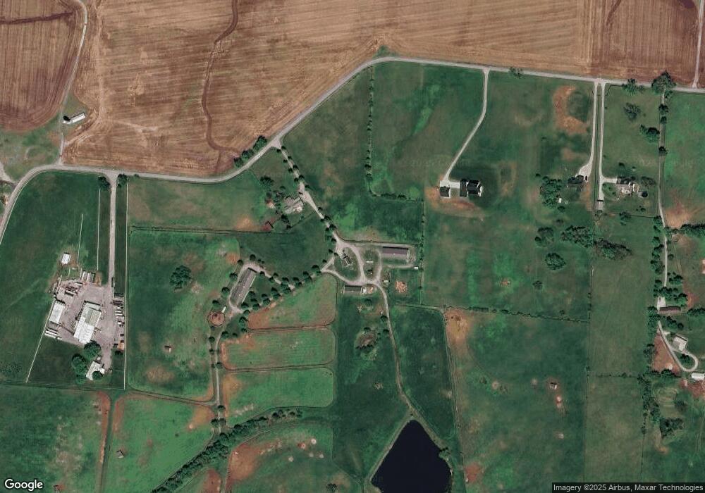
Map
Nearby Homes
- 241 Cottonwood St
- 125 Talmage-Mayo Rd
- 280 Talmage Mayo Rd
- 110 Gracelynn Cir
- 3062 Louisville Rd
- 127 Man-O-war Dr
- 151 Man-O-war Dr
- 464 Haddix St
- 143 Providence Rd
- 1111 Jackson Pike
- 110 Station Dr
- 301 Palomino Dr
- 341 Palomino Dr
- 70 Pinehurst Way
- 64 Pinehurst Way
- 68 Pinehurst Way
- 69 Pinehurst Way
- 73 Pinehurst Way
- 72 Pinehurst Way
- 67 Pinehurst Way
- 338 Mundys Landing Rd
- 338 Mundys Landing Rd Unit 6-B
- 356 Mundys Landing Rd
- 350 Mundys Landing Rd
- 268 Mundys Landing Rd
- 381 McCrosky Pike
- 381 Mccroskey Pike
- 341 Elmwood Dr
- 0 Mundys Landing-Highway 127 Unit 914690
- 299 McCrosky Pike
- 439 McCrosky Pike
- 421 McCrosky Pike
- 325 Elmwood Dr
- 470 Mundys Landing Rd
- 342 Elmwood Dr
- 334 Elmwood Dr
- 317 Elmwood Dr
- 421 McCrosky Pike
- 150 Mundys Landing Rd
- 309 Elmwood Dr