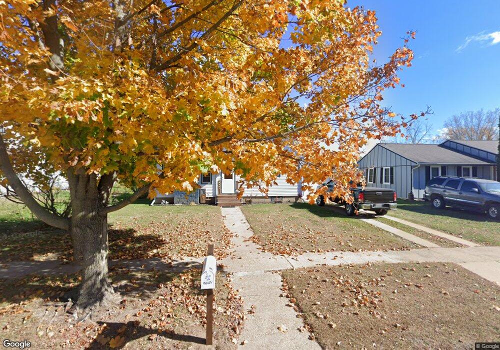
334 N 4th St Muscoda, WI 53573
Estimated Value: $108,275 - $220,000
Studio
--
Bath
--
Sq Ft
7,275
Sq Ft Lot
About This Home
This home is located at 334 N 4th St, Muscoda, WI 53573 and is currently estimated at $148,319. 334 N 4th St is a home with nearby schools including Riverdale Elementary School, Riverdale Junior High School, and Riverdale High School.
Ownership History
Date
Name
Owned For
Owner Type
Purchase Details
Closed on
Feb 18, 2022
Sold by
Rittenhouse Kenneth J and Rittenhouse Alberta J
Bought by
Asbury Johnny and Asbury Lynn
Current Estimated Value
Home Financials for this Owner
Home Financials are based on the most recent Mortgage that was taken out on this home.
Original Mortgage
$77,600
Outstanding Balance
$72,057
Interest Rate
3.55%
Mortgage Type
New Conventional
Estimated Equity
$76,262
Purchase Details
Closed on
Jan 20, 2006
Sold by
Anderson Jeffrey A and Anderson Brandie L
Bought by
Rittenhouse Kenneth and Rittenhouse Alberta J
Create a Home Valuation Report for This Property
The Home Valuation Report is an in-depth analysis detailing your home's value as well as a comparison with similar homes in the area
Purchase History
| Date | Buyer | Sale Price | Title Company |
|---|---|---|---|
| Asbury Johnny | $80,000 | None Listed On Document | |
| Rittenhouse Kenneth | $67,000 | -- |
Source: Public Records
Mortgage History
| Date | Status | Borrower | Loan Amount |
|---|---|---|---|
| Open | Asbury Johnny | $77,600 | |
| Closed | Rittenhouse Kenneth | $0 | |
| Closed | Asbury Johnny | $4,800 |
Source: Public Records
Tax History
| Year | Tax Paid | Tax Assessment Tax Assessment Total Assessment is a certain percentage of the fair market value that is determined by local assessors to be the total taxable value of land and additions on the property. | Land | Improvement |
|---|---|---|---|---|
| 2024 | $1,224 | $49,800 | $5,500 | $44,300 |
| 2023 | $1,098 | $49,800 | $5,500 | $44,300 |
| 2022 | $1,084 | $46,800 | $5,500 | $41,300 |
| 2021 | $1,100 | $46,800 | $5,500 | $41,300 |
| 2020 | $1,069 | $46,800 | $5,500 | $41,300 |
| 2019 | $1,223 | $46,800 | $550 | $4,130 |
| 2018 | $1,171 | $46,800 | $5,500 | $41,300 |
| 2017 | $1,102 | $46,800 | $5,500 | $41,300 |
| 2016 | $1,034 | $46,800 | $5,500 | $41,300 |
| 2015 | $1,492 | $60,300 | $5,500 | $54,800 |
| 2014 | $1,449 | $60,300 | $5,500 | $54,800 |
| 2013 | -- | $60,300 | $5,500 | $54,800 |
Source: Public Records
Map
Nearby Homes
- 300 E Beech St
- 560 E Elm St
- 311 S Wisconsin Ave
- 000 Sportsman Dr
- 18975 Otter Trail
- Lot 1 Elizabeth St
- 753 W Pine Rd
- 20343 Effigy Mounds Ln
- 23304 Gingers Dr
- 23436 Bomkamp Rd
- 0 Gingers Dr Unit 1997289
- 7610 N Prairie Rd
- 18553 Taylor Rd
- 31473 County Highway O
- 32974 Potter Ln
- 32818 Bogus Valley Ln
- Tbd County Highway O
- 109 S 1st St
- 109 S 4th St
- 705 Clyde St
Your Personal Tour Guide
Ask me questions while you tour the home.