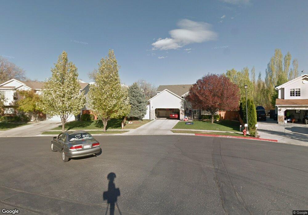
334 N 680 W Unit 22 American Fork, UT 84003
Estimated Value: $512,000 - $568,000
3
Beds
3
Baths
1,794
Sq Ft
$301/Sq Ft
Est. Value
About This Home
This home is located at 334 N 680 W Unit 22, American Fork, UT 84003 and is currently estimated at $540,657, approximately $301 per square foot. 334 N 680 W Unit 22 is a home located in Utah County with nearby schools including American Fork Junior High School and American Fork High School.
Ownership History
Date
Name
Owned For
Owner Type
Purchase Details
Closed on
Aug 8, 2022
Sold by
Visionary Homes 2020 Llc
Bought by
Ponce Teresa Diaz and Diaz Constanza D
Current Estimated Value
Home Financials for this Owner
Home Financials are based on the most recent Mortgage that was taken out on this home.
Original Mortgage
$456,561
Outstanding Balance
$435,996
Interest Rate
5.7%
Mortgage Type
FHA
Estimated Equity
$104,661
Purchase Details
Closed on
Mar 28, 2022
Sold by
Visionary Fenn Farms Llc
Bought by
Visionary Homes 2022 Llc
Purchase Details
Closed on
Dec 21, 2021
Sold by
Get Up Stand Up Llc
Bought by
Visionary Fenn Farms Llc
Create a Home Valuation Report for This Property
The Home Valuation Report is an in-depth analysis detailing your home's value as well as a comparison with similar homes in the area
Home Values in the Area
Average Home Value in this Area
Purchase History
| Date | Buyer | Sale Price | Title Company |
|---|---|---|---|
| Ponce Teresa Diaz | -- | None Listed On Document | |
| Visionary Homes 2022 Llc | -- | None Listed On Document | |
| Visionary Homes 2022 Llc | -- | None Listed On Document | |
| Visionary Fenn Farms Llc | -- | None Listed On Document |
Source: Public Records
Mortgage History
| Date | Status | Borrower | Loan Amount |
|---|---|---|---|
| Open | Ponce Teresa Diaz | $456,561 | |
| Closed | Visionary Fenn Farms Llc | $0 |
Source: Public Records
Tax History Compared to Growth
Tax History
| Year | Tax Paid | Tax Assessment Tax Assessment Total Assessment is a certain percentage of the fair market value that is determined by local assessors to be the total taxable value of land and additions on the property. | Land | Improvement |
|---|---|---|---|---|
| 2025 | $2,481 | $283,800 | $253,700 | $262,300 |
| 2024 | $2,481 | $275,715 | $0 | $0 |
| 2023 | $2,293 | $270,160 | $0 | $0 |
| 2022 | $2,193 | $254,900 | $254,900 | $0 |
| 2021 | $0 | $159,300 | $159,300 | $0 |
Source: Public Records
Map
Nearby Homes
- 777 W State Rd
- 356 N 480 W
- 370 W Pacific Dr Unit 1
- 962 N 780 St W Unit 508
- 974 N 780 St W Unit 509
- 916 N 780 St W Unit 501
- 641 N 420 W
- 120 N 350 W Unit 127
- 120 N 350 W Unit 133
- 120 N 350 W Unit 130
- 540 N 300 W
- 217 W Main St
- 822 W 800 St N Unit LOT319
- 822 N 860 W Unit 317
- 55 Roosevelt Ave
- 602 W 860 N
- 82 S Lincoln Ave
- 351 Washington Ave
- 328 N 1270 E
- 365 N 100 W
- 339 N 680 W Unit 52
- 345 N 680 W Unit 51
- 651 W State Rd Unit 37
- 374 N 680 W
- 375 N 680 W Unit 48
- 356 N 750 W Unit D7
- 681 W 410 N
- 675 W 410 N
- 689 W 410 N
- 395 N 680 W
- 416 N 680 W
- 352 N West State Rd
- 352 N West State Rd
- 769 W Grassland Dr
- 428 N 680 W
- 363 N 580 W
- 425 N 680 W
- 365 N 580 W
- 371 N 580 W
- 354 N 650 W Unit 65