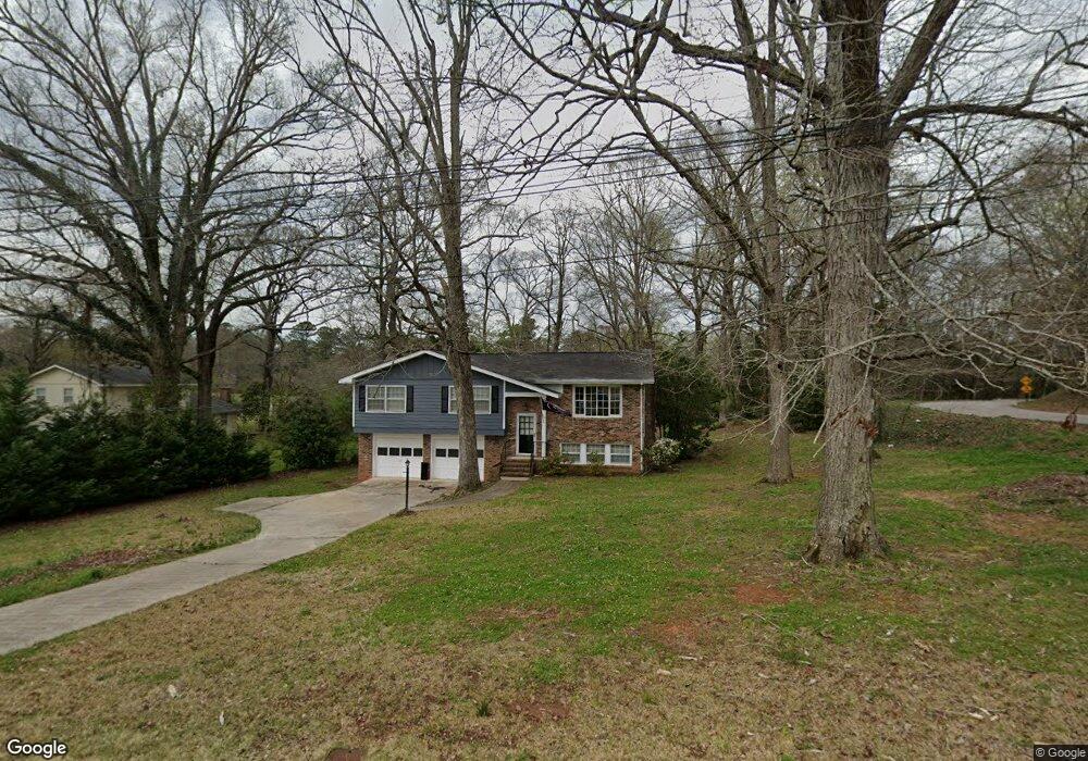
334 N Barnard Ave Lagrange, GA 30241
Estimated Value: $144,000 - $194,000
3
Beds
2
Baths
1,400
Sq Ft
$123/Sq Ft
Est. Value
About This Home
This home is located at 334 N Barnard Ave, Lagrange, GA 30241 and is currently estimated at $171,917, approximately $122 per square foot. 334 N Barnard Ave is a home located in Troup County with nearby schools including Callaway Elementary School, Hogansville Elementary School, and Callaway Middle School.
Ownership History
Date
Name
Owned For
Owner Type
Purchase Details
Closed on
Nov 4, 2020
Sold by
Richards Ernest L
Bought by
Richards Steven Levon
Current Estimated Value
Home Financials for this Owner
Home Financials are based on the most recent Mortgage that was taken out on this home.
Original Mortgage
$68,696
Outstanding Balance
$32,410
Interest Rate
2.8%
Mortgage Type
New Conventional
Estimated Equity
$139,507
Purchase Details
Closed on
Jan 1, 1974
Sold by
J E and J Brumbeloe B
Bought by
Richards Ernest and Richards Barbara
Create a Home Valuation Report for This Property
The Home Valuation Report is an in-depth analysis detailing your home's value as well as a comparison with similar homes in the area
Purchase History
We collect this data history from publicly available records. To have your information removed, we recommend requesting removal directly through your county’s website.
| Date | Buyer | Sale Price | Title Company |
|---|---|---|---|
| Richards Steven Levon | $85,870 | -- | |
| Richards Ernest | -- | -- | |
| J E | -- | -- |
Source: Public Records
Mortgage History
We collect this data history from publicly available records. To have your information removed, we recommend requesting removal directly through your county’s website.
| Date | Status | Borrower | Loan Amount |
|---|---|---|---|
| Open | Richards Steven Levon | $68,696 |
Source: Public Records
Tax History
| Year | Tax Paid | Tax Assessment Tax Assessment Total Assessment is a certain percentage of the fair market value that is determined by local assessors to be the total taxable value of land and additions on the property. | Land | Improvement |
|---|---|---|---|---|
| 2025 | $1,584 | $58,072 | $3,800 | $54,272 |
| 2024 | $1,481 | $54,312 | $3,800 | $50,512 |
| 2023 | $1,262 | $46,272 | $3,800 | $42,472 |
| 2022 | $1,242 | $44,512 | $3,800 | $40,712 |
| 2021 | $1,036 | $34,348 | $3,800 | $30,548 |
| 2020 | $1,036 | $34,348 | $3,800 | $30,548 |
| 2019 | $951 | $31,540 | $3,680 | $27,860 |
| 2018 | $951 | $31,540 | $3,680 | $27,860 |
| 2017 | $951 | $31,540 | $3,680 | $27,860 |
| 2016 | $923 | $30,588 | $3,680 | $26,908 |
| 2015 | $928 | $30,720 | $3,812 | $26,908 |
| 2014 | $887 | $29,304 | $3,812 | $25,492 |
| 2013 | -- | $30,603 | $3,812 | $26,791 |
Source: Public Records
Map
Nearby Homes
- 110 Northwoods Dr
- 202 N Barnard Ave
- 203 N Cary St
- 107 N Barnard Ave
- 101 Sarah Ln
- 0 N Barnard Ave
- 793 Celebration Blvd
- 610 Youngs Mill Rd
- 304 Bridgette Blvd
- 106 Ridgefield Cir
- 438 Brookstone Dr
- 179 Youngs Mill Rd
- 112 Celebration Blvd
- 226 Hearthstone Dr
- 212 Cleveland Dr
- 124 Woodridge Cir
- 129 Celebration Blvd
- 23 Cary St
- 8 Gulfstream Dr
- 517 Tradition Place
- 420 Youngs Mill Rd
- 412 Youngs Mill Rd
- 225 N Barnard Ave
- 228 N Barnard Ave
- 0 Hammett Rd Unit 8257462
- 0 Hammett Rd Unit 3007352
- 0 Hammett Rd Unit TR 1 3241324
- 0 Hammett Rd Unit 7109595
- 0 Hammett Rd Unit 24 7612192
- 0 Hammett Rd Unit 8502783
- 0 Hammet Rd
- 241 N Barnard Ave
- 226 N Barnard Ave
- 10 Hammett Rd
- 384 Youngs Mill Rd
- 109 Northwoods Dr
- 106 Northwoods Dr
- 106 Northwoods Dr
- 113 Northwoods Dr Unit 113/115
- 115 Northwoods Dr
Your Personal Tour Guide
Ask me questions while you tour the home.