334 N Highway 102 McLoud, OK 74851
Estimated Value: $307,000 - $418,000
3
Beds
2
Baths
2,230
Sq Ft
$159/Sq Ft
Est. Value
About This Home
This home is located at 334 N Highway 102, McLoud, OK 74851 and is currently estimated at $355,185, approximately $159 per square foot. 334 N Highway 102 is a home located in Lincoln County with nearby schools including Virginia Smith Elementary School, Russell Babb Elementary School, and Clara Reynolds Elementary School.
Ownership History
Date
Name
Owned For
Owner Type
Purchase Details
Closed on
Nov 19, 2004
Sold by
Nobert Shandona M Dailey
Bought by
Nobert Shandona M and Nobert Philip
Current Estimated Value
Purchase Details
Closed on
Oct 12, 1994
Sold by
Kusek Andrew and Kusek Vickie
Bought by
Dailey Shandona M
Purchase Details
Closed on
Sep 21, 1994
Sold by
Kusek Thelma Margaret
Bought by
Kusek Andrew and Kusek Vickie L
Purchase Details
Closed on
Sep 12, 1994
Sold by
Kusek Sr Andrew Felix
Bought by
Kusek Thelma M
Create a Home Valuation Report for This Property
The Home Valuation Report is an in-depth analysis detailing your home's value as well as a comparison with similar homes in the area
Home Values in the Area
Average Home Value in this Area
Purchase History
| Date | Buyer | Sale Price | Title Company |
|---|---|---|---|
| Nobert Shandona M | -- | -- | |
| Dailey Shandona M | -- | -- | |
| Kusek Andrew | -- | -- | |
| Kusek Thelma M | -- | -- |
Source: Public Records
Tax History Compared to Growth
Tax History
| Year | Tax Paid | Tax Assessment Tax Assessment Total Assessment is a certain percentage of the fair market value that is determined by local assessors to be the total taxable value of land and additions on the property. | Land | Improvement |
|---|---|---|---|---|
| 2025 | $2,763 | $25,667 | $5,803 | $19,864 |
| 2024 | $2,763 | $23,038 | $4,235 | $18,803 |
| 2023 | $2,763 | $30,815 | $4,235 | $26,580 |
| 2022 | $2,160 | $21,664 | $3,121 | $18,543 |
| 2021 | $2,098 | $21,033 | $3,541 | $17,492 |
| 2020 | $2,077 | $20,421 | $3,426 | $16,995 |
| 2019 | $2,009 | $19,826 | $2,994 | $16,832 |
| 2018 | $1,979 | $19,249 | $3,437 | $15,812 |
| 2017 | $1,889 | $18,688 | $3,402 | $15,286 |
| 2016 | $1,854 | $18,144 | $2,471 | $15,673 |
| 2015 | $1,596 | $17,615 | $2,340 | $15,275 |
| 2014 | $1,359 | $17,103 | $2,229 | $14,874 |
Source: Public Records
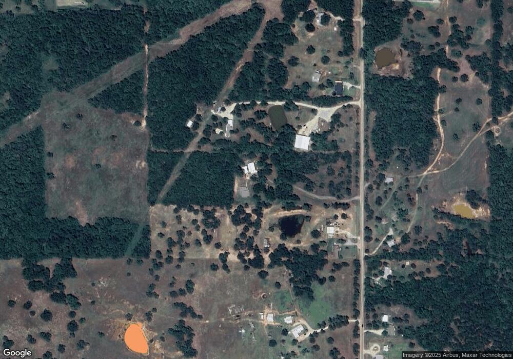
Map
Nearby Homes
- 331899 Timber Ln
- 101782 Green Moss Trail S
- 0000 Green Moss Trail S
- 332939 E 1020 Rd
- 102025 S 3330 Rd
- 101396 S Bedrock Cir
- 100711 S Stonecrest Cir
- 0 S 3307 Rd
- 102590 S 3298 Rd
- 100782 S 3305 Rd
- 330348 E 1010 Rd
- 329841 E Brandell Rd
- 334174 E Painted Sky Rd
- 21089 River Mist Dr
- 21081 River Mist Dr
- 3872 Louthea Ln
- 3872 Ada Ave
- 3880 Ada Ave
- 3856 Louthea Ln
- 3873 Ada Ave
- 336 N Highway 102
- 102292 S Highway 102
- 102211 S Highway 102
- 338 N Highway 102
- 102580 S Highway 102
- 102121 S Highway 102
- 102602 S Highway 102
- 327 N Highway 102
- 102670 S Highway 102
- 326 N Highway 102
- 345 N Highway 102
- 102109 S Highway 102
- 102109 S Highway 102
- 331743 E 1020 Rd
- 102025 S Highway 102
- 1020 E East Rd
- 322 N Highway 102
- 805 Rr 1
- 328 N Highway 102
- 320 N Highway 102