Estimated Value: $1,321,839 - $1,538,000
4
Beds
4
Baths
3,583
Sq Ft
$405/Sq Ft
Est. Value
About This Home
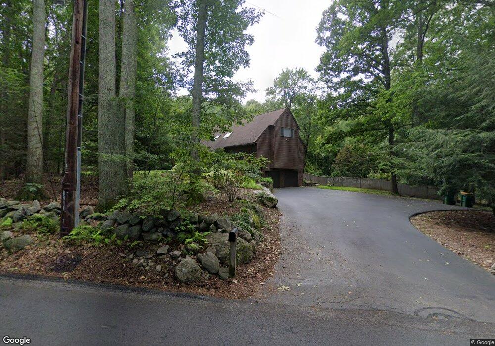
This home is located at 334 Nagog Hill Rd, Acton, MA 01720 and is currently estimated at $1,450,210, approximately $404 per square foot. 334 Nagog Hill Rd is a home located in Middlesex County with nearby schools including Acton-Boxborough Regional High School and Oak Meadow Montessori School.
Ownership History
Date
Name
Owned For
Owner Type
Purchase Details
Closed on
Sep 26, 2020
Sold by
Baum Tad D and Baum Diane M
Bought by
Baum Tad D and Baum Diane M
Current Estimated Value
Purchase Details
Closed on
Jun 26, 2009
Sold by
Kruglov Alexey and Kruglov Victoria
Bought by
Baum Tad D and Baum Diane M
Home Financials for this Owner
Home Financials are based on the most recent Mortgage that was taken out on this home.
Original Mortgage
$548,000
Interest Rate
4.92%
Mortgage Type
Purchase Money Mortgage
Create a Home Valuation Report for This Property
The Home Valuation Report is an in-depth analysis detailing your home's value as well as a comparison with similar homes in the area
Home Values in the Area
Average Home Value in this Area
Purchase History
| Date | Buyer | Sale Price | Title Company |
|---|---|---|---|
| Baum Tad D | -- | None Available | |
| Baum Tad D | $685,000 | -- |
Source: Public Records
Mortgage History
| Date | Status | Borrower | Loan Amount |
|---|---|---|---|
| Previous Owner | Baum Tad D | $548,000 |
Source: Public Records
Tax History Compared to Growth
Tax History
| Year | Tax Paid | Tax Assessment Tax Assessment Total Assessment is a certain percentage of the fair market value that is determined by local assessors to be the total taxable value of land and additions on the property. | Land | Improvement |
|---|---|---|---|---|
| 2025 | $20,090 | $1,171,400 | $392,500 | $778,900 |
| 2024 | $19,117 | $1,146,800 | $392,500 | $754,300 |
| 2023 | $18,900 | $1,076,300 | $356,900 | $719,400 |
| 2022 | $17,406 | $894,900 | $311,300 | $583,600 |
| 2021 | $15,986 | $790,200 | $288,100 | $502,100 |
| 2020 | $15,455 | $803,300 | $288,100 | $515,200 |
| 2019 | $16,013 | $826,700 | $288,100 | $538,600 |
| 2018 | $15,052 | $776,700 | $288,100 | $488,600 |
| 2017 | $14,484 | $759,900 | $288,100 | $471,800 |
| 2016 | $13,876 | $721,600 | $288,100 | $433,500 |
| 2015 | $13,777 | $723,200 | $288,100 | $435,100 |
| 2014 | $13,473 | $692,700 | $288,100 | $404,600 |
Source: Public Records
Map
Nearby Homes
- 200 Newtown Rd
- 117 Skyline Dr Unit 117
- 4 Omega Way
- 19 Lincoln Dr
- 9 Breezy Point Rd
- 163 Nagog Hill Rd
- 27 Lincoln Dr
- 484 Great Rd
- 484 Great Rd
- 9 Lillian Rd
- 484 Great Road -6
- 484 Great Road -4
- 484 Great Road -3
- 4 Huron Rd
- 445 Old Stone Brook
- 522 Tumbling Hawk
- 422 Great Elm Way
- 511 Tumbling Hawk Unit 511
- 420 Great Rd Unit B3
- 388 Great Rd Unit B23
- 331 Nagog Hill Rd
- 327 Nagog Hill Rd
- 320 Nagog Hill Rd
- 57 Fort Pond Rd
- 57 Fort Pond Rd
- 321 Nagog Hill Rd
- 316 Nagog Hill Rd
- 55 Fort Pond Rd
- 315 Nagog Hill Rd
- 330 Nagog Hill Rd
- 312 Nagog Hill Rd
- 308 Nagog Hill Rd
- 53 Fort Pond Rd
- 51 Fort Pond Rd
- 301 Nagog Hill Rd
- 47 Fort Pond Rd
- 300 Nagog Hill Rd
- 304 Nagog Hill Rd
- 310 Nagog Hill Rd
- 43 Fort Pond Rd