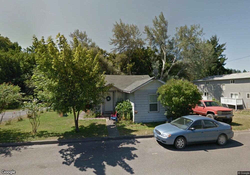
334 NE Howland St Myrtle Creek, OR 97457
Estimated Value: $232,435 - $278,000
2
Beds
1
Bath
1,080
Sq Ft
$238/Sq Ft
Est. Value
About This Home
This home is located at 334 NE Howland St, Myrtle Creek, OR 97457 and is currently estimated at $256,859, approximately $237 per square foot. 334 NE Howland St is a home located in Douglas County with nearby schools including South Umpqua High School.
Ownership History
Date
Name
Owned For
Owner Type
Purchase Details
Closed on
Jun 13, 2017
Sold by
Cheney Melanie Lynn and Morello Melanie Lynn
Bought by
Cheney Melanie Lynn
Current Estimated Value
Home Financials for this Owner
Home Financials are based on the most recent Mortgage that was taken out on this home.
Original Mortgage
$75,000
Interest Rate
4.02%
Mortgage Type
Unknown
Purchase Details
Closed on
Aug 25, 2006
Sold by
Morello Melanie Lynn and Cunningham Melanie Lynn
Bought by
Morello Melanie Lynn and Morello Anthony Alfred
Create a Home Valuation Report for This Property
The Home Valuation Report is an in-depth analysis detailing your home's value as well as a comparison with similar homes in the area
Home Values in the Area
Average Home Value in this Area
Purchase History
| Date | Buyer | Sale Price | Title Company |
|---|---|---|---|
| Cheney Melanie Lynn | -- | First American Title | |
| Morello Melanie Lynn | -- | None Available |
Source: Public Records
Mortgage History
| Date | Status | Borrower | Loan Amount |
|---|---|---|---|
| Closed | Cheney Melanie Lynn | $75,000 |
Source: Public Records
Tax History Compared to Growth
Tax History
| Year | Tax Paid | Tax Assessment Tax Assessment Total Assessment is a certain percentage of the fair market value that is determined by local assessors to be the total taxable value of land and additions on the property. | Land | Improvement |
|---|---|---|---|---|
| 2024 | $1,602 | $119,806 | -- | -- |
| 2023 | $1,556 | $116,317 | $0 | $0 |
| 2022 | $1,510 | $112,930 | $0 | $0 |
| 2021 | $1,466 | $109,641 | $0 | $0 |
| 2020 | $1,424 | $106,448 | $0 | $0 |
| 2019 | $1,382 | $103,348 | $0 | $0 |
| 2018 | $1,342 | $100,338 | $0 | $0 |
| 2017 | $1,303 | $97,416 | $0 | $0 |
| 2016 | $1,254 | $94,579 | $0 | $0 |
| 2015 | $1,218 | $91,825 | $0 | $0 |
| 2014 | $1,192 | $89,151 | $0 | $0 |
| 2013 | -- | $86,555 | $0 | $0 |
Source: Public Records
Map
Nearby Homes
- 206 NE Laurel Ave
- 407 NE Waite St
- 455 Woody Ct
- 186 NE Division St
- 629 NE Johnson St
- 217 SE Mill St
- 650 SE Riverside Dr
- 195 SE Mill St
- 728 NW Morrison Ave
- 231 Chestnut St
- 961 NE Broadway St
- 1056 NE Orchard Dr
- 0 N Main St
- 0 S Main St Unit 24686107
- 420 SW 4th Ave
- 910 NE Leon Ave
- 0 SE Meadowlark Ave Unit 370339863
- 0 NE Orchard Dr Unit 24552379
- 195 NE Sandy Terrace
- 0 SE Ardis Ave Unit 7 24085450
- 318 NE Howland St
- 176 NE Maple Ave
- 416 NE Howland St
- 331 NE Howland St
- 331 NE Howland St Unit 1
- 313 NE Howland St
- 305 NE Howland St
- 205 NE Cedar Ave
- 428 NE Howland St
- 246 NE Howland St
- 217 NE Cedar Ave
- 153 NE Pine Ave
- 330 NE Broadway St
- 336 NE Broadway St
- 0 NE Howland St
- 431 NE Howland St
- 448 NE Howland St
- 312 NE Broadway St
- 155 NE Pine Ave
- 406 NE Broadway St