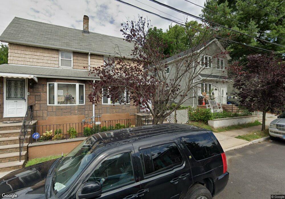
334 Nicholas Ave Unit 336 Staten Island, NY 10302
Port Richmond NeighborhoodEstimated Value: $603,000 - $725,000
--
Bed
--
Bath
2,028
Sq Ft
$329/Sq Ft
Est. Value
About This Home
This home is located at 334 Nicholas Ave Unit 336, Staten Island, NY 10302 and is currently estimated at $667,922, approximately $329 per square foot. 334 Nicholas Ave Unit 336 is a home located in Richmond County with nearby schools including PS 21 Margaret Emery-Elm Park, I.S. 51 Edwin Markham, and Port Richmond High School.
Ownership History
Date
Name
Owned For
Owner Type
Purchase Details
Closed on
Apr 19, 2018
Sold by
Quijano Carmelo M and Quijano Miriam G
Bought by
Quijano Michael A and Quijano Sheryl
Current Estimated Value
Home Financials for this Owner
Home Financials are based on the most recent Mortgage that was taken out on this home.
Original Mortgage
$265,000
Outstanding Balance
$227,948
Interest Rate
4.45%
Mortgage Type
New Conventional
Estimated Equity
$439,974
Create a Home Valuation Report for This Property
The Home Valuation Report is an in-depth analysis detailing your home's value as well as a comparison with similar homes in the area
Home Values in the Area
Average Home Value in this Area
Purchase History
| Date | Buyer | Sale Price | Title Company |
|---|---|---|---|
| Quijano Michael A | $460,000 | Fidelity National Title Insu |
Source: Public Records
Mortgage History
| Date | Status | Borrower | Loan Amount |
|---|---|---|---|
| Open | Quijano Michael A | $265,000 |
Source: Public Records
Tax History Compared to Growth
Tax History
| Year | Tax Paid | Tax Assessment Tax Assessment Total Assessment is a certain percentage of the fair market value that is determined by local assessors to be the total taxable value of land and additions on the property. | Land | Improvement |
|---|---|---|---|---|
| 2025 | $4,103 | $42,300 | $7,511 | $34,789 |
| 2024 | $4,103 | $38,400 | $7,805 | $30,595 |
| 2023 | $4,149 | $25,229 | $6,723 | $18,506 |
| 2022 | $4,999 | $36,360 | $11,880 | $24,480 |
| 2021 | $4,971 | $38,340 | $11,880 | $26,460 |
| 2020 | $4,717 | $33,060 | $11,880 | $21,180 |
| 2019 | $4,398 | $32,520 | $11,880 | $20,640 |
| 2018 | $4,286 | $21,024 | $7,959 | $13,065 |
| 2017 | $4,254 | $20,866 | $10,815 | $10,051 |
| 2016 | $3,935 | $19,685 | $11,497 | $8,188 |
| 2015 | $3,362 | $18,571 | $9,516 | $9,055 |
| 2014 | $3,362 | $17,520 | $9,900 | $7,620 |
Source: Public Records
Map
Nearby Homes
- 38 Laforge Ave
- 28 Hooker Place
- 13 Laforge Ave
- 11 Laforge Ave
- 145 Clinton Place
- 469 Port Richmond Ave
- 98 Saint Josephs Ave
- 211 Morningstar Rd
- 209 Nicholas Ave
- 145 Morningside Ave Unit 2C
- 152 Port Richmond Ave
- 47 Montell St
- 231 Charles Ave
- 306 Morningstar Rd
- 28 Clinton Place
- 322 Morningstar Rd
- 646 Port Richmond Ave
- 646-662 Port Richmond Ave
- 325 Pulaski Ave
- 327 Pulaski Ave
- 336 Nicholas Ave
- 340 Nicholas Ave
- 334-336 Nicholas Ave
- 298 Nicholas Ave Unit 2
- 342 Nicholas Ave
- 330 Nicholas Ave
- 326 Nicholas Ave
- 326 Nicholas Ave Unit 2
- 326 Nicholas Ave Unit 1
- 350 Nicholas Ave
- 97 Hooker Place
- 99 Hooker Place
- 343 Nicholas Ave
- 335 Nicholas Ave
- 333 Nicholas Ave
- 333 Nicholas Ave
- 333 Nicholas Ave
- 337 Nicholas Ave
- 329 Nicholas Ave
- 339 Nicholas Ave