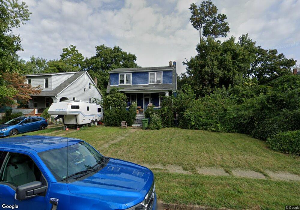
334 Radnor Rd Baltimore, MD 21212
Radnor-Winston NeighborhoodEstimated Value: $431,376 - $437,000
About This Home
This home is located at 334 Radnor Rd, Baltimore, MD 21212 and is currently estimated at $434,188, approximately $146 per square foot. 334 Radnor Rd is a home located in Baltimore City with nearby schools including Roland Park Elementary/Middle School, Booker T. Washington Middle School, and Paul Laurence Dunbar High School.
Ownership History
We collect this data history from publicly available records. To have your information removed, we recommend requesting removal directly through your county’s website.
Purchase Details
Purchase Details
Home Financials for this Owner
Home Financials are based on the most recent Mortgage that was taken out on this home.Home Values in the Area
Average Home Value in this Area
Purchase History
We collect this data history from publicly available records. To have your information removed, we recommend requesting removal directly through your county’s website.
| Date | Buyer | Sale Price | Title Company |
|---|---|---|---|
| $18,500 | -- | ||
| $96,000 | -- |
Mortgage History
We collect this data history from publicly available records. To have your information removed, we recommend requesting removal directly through your county’s website.
| Date | Status | Borrower | Loan Amount |
|---|---|---|---|
| Previous Owner | $96,000 |
Tax History
We collect this data history from publicly available records. To have your information removed, we recommend requesting removal directly through your county’s website.
| Year | Tax Paid | Tax Assessment Tax Assessment Total Assessment is a certain percentage of the fair market value that is determined by local assessors to be the total taxable value of land and additions on the property. | Land | Improvement |
|---|---|---|---|---|
| 2025 | $5,969 | $300,967 | -- | -- |
| 2024 | $5,969 | $286,100 | $116,600 | $169,500 |
| 2023 | $6,203 | $286,100 | $116,600 | $169,500 |
| 2022 | $5,507 | $286,100 | $116,600 | $169,500 |
| 2021 | $6,964 | $295,100 | $116,600 | $178,500 |
| 2020 | $5,048 | $289,233 | $0 | $0 |
| 2019 | $4,812 | $283,367 | $0 | $0 |
| 2018 | $4,718 | $277,500 | $116,600 | $160,900 |
| 2017 | $4,557 | $248,733 | $0 | $0 |
| 2016 | $3,979 | $219,967 | $0 | $0 |
| 2015 | $3,979 | $191,200 | $0 | $0 |
| 2014 | $3,979 | $191,200 | $0 | $0 |
Map
- 303 Charter Oak Ave
- 412 E Cold Spring Ln
- 507 Richwood Ave
- 315 E Cold Spring Ln
- 512 Richwood Ave
- 5020 Ready Ave
- 515 Richwood Ave
- 5108 Norwood Rd
- 4652 York Rd
- 534 Richwood Ave
- 511 E Cold Spring Ln
- 517 Chateau Ave
- 4727 Old York Rd
- 4602 York Rd
- 4801 Alhambra Ave
- 627 Radnor Ave
- 505 Mccabe Ave
- 349 Homeland Southway Unit 2B
- 4437 Old York Rd
- 355 Homeland Southway Unit 2B
- 332 Radnor Rd
- 4904 Crowson Ave
- 4902 Crowson Ave
- 4900 Crowson Ave
- 330 Radnor Rd
- 4811 Norwood Rd
- 4906 Crowson Ave
- 333 Rossiter Ave
- 4809 Norwood Rd
- 328 Radnor Rd
- 4810 Crowson Ave
- 4908 Crowson Ave
- 4807 Norwood Rd
- 4808 Crowson Ave
- 4810 Norwood Rd
- 329 Rossiter Ave
- 4910 Crowson Ave
- 326 Radnor Rd
- 4805 Norwood Rd
- 4806 Crowson Ave
Ask me questions while you tour the home.