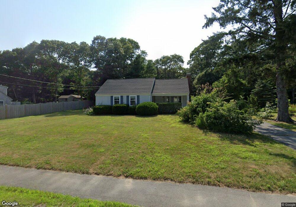
334 Shore Rd Bourne, MA 2532
Monument Beach NeighborhoodEstimated Value: $476,000 - $538,000
2
Beds
1
Bath
940
Sq Ft
$547/Sq Ft
Est. Value
About This Home
This home is located at 334 Shore Rd, Bourne, MA 2532 and is currently estimated at $514,000, approximately $546 per square foot. 334 Shore Rd is a home located in Barnstable County with nearby schools including Bourne High School, St Margaret Regional School, and Cadence Academy Preschool - Bourne.
Ownership History
Date
Name
Owned For
Owner Type
Purchase Details
Closed on
May 22, 2023
Sold by
Briggs David R
Bought by
Andrew M Shyne T M and Andrew Boyle
Current Estimated Value
Purchase Details
Closed on
Aug 30, 2016
Sold by
Wells Fargo Bank Na
Bought by
Briggs David R
Create a Home Valuation Report for This Property
The Home Valuation Report is an in-depth analysis detailing your home's value as well as a comparison with similar homes in the area
Home Values in the Area
Average Home Value in this Area
Purchase History
| Date | Buyer | Sale Price | Title Company |
|---|---|---|---|
| Andrew M Shyne T M | $446,000 | None Available | |
| Andrew M Shyne T M | $446,000 | None Available | |
| Andrew M Shyne T M | $446,000 | None Available | |
| Briggs David R | $175,000 | -- | |
| Briggs David R | $175,000 | -- |
Source: Public Records
Tax History
| Year | Tax Paid | Tax Assessment Tax Assessment Total Assessment is a certain percentage of the fair market value that is determined by local assessors to be the total taxable value of land and additions on the property. | Land | Improvement |
|---|---|---|---|---|
| 2025 | $3,770 | $482,700 | $231,000 | $251,700 |
| 2024 | $3,686 | $459,600 | $220,000 | $239,600 |
| 2023 | $3,583 | $406,700 | $194,700 | $212,000 |
| 2022 | $3,437 | $340,600 | $172,300 | $168,300 |
| 2021 | $3,339 | $310,000 | $156,800 | $153,200 |
| 2020 | $2,140 | $285,500 | $155,300 | $130,200 |
| 2019 | $2,782 | $264,700 | $141,800 | $122,900 |
| 2018 | $2,635 | $250,000 | $135,100 | $114,900 |
| 2017 | $2,550 | $247,600 | $133,800 | $113,800 |
| 2016 | $2,461 | $242,200 | $133,800 | $108,400 |
| 2015 | $2,439 | $242,200 | $133,800 | $108,400 |
Source: Public Records
Map
Nearby Homes
- 203 County Rd
- 35 Benedict Rd
- 13 Laurel Hill Ct
- 5 Zoli Ln
- 12 Turnberry Rd Unit 12
- 5 Sea Knoll Ct
- 566 Shore Rd
- 16 Amberwood Ct
- 60 Bourne Neck Dr
- 4 Hollyhock Knoll Ct Unit 4
- 4 Hollyhock Knoll Ct Unit 4
- 1 Hollyhock Knoll Ct Unit 1
- 4 Harbor Hill Dr
- 44 Cotuit Rd
- 20 Colony Ave
- 46 Holt Rd Unit B
- 46 Holt Rd
- 60 Sandwich Rd
- 10 Sandy Ln
- 40-A Lafayette Ave
Your Personal Tour Guide
Ask me questions while you tour the home.