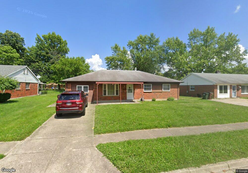
334 Stubbs Dr Dayton, OH 45426
Estimated Value: $101,000 - $163,000
4
Beds
2
Baths
1,500
Sq Ft
$92/Sq Ft
Est. Value
About This Home
This home is located at 334 Stubbs Dr, Dayton, OH 45426 and is currently estimated at $137,715, approximately $91 per square foot. 334 Stubbs Dr is a home located in Montgomery County with nearby schools including Trotwood-Madison Middle School, Trotwood-Madison High School, and Trotwood Preparatory & Fitness Academy.
Ownership History
Date
Name
Owned For
Owner Type
Purchase Details
Closed on
Apr 13, 2010
Sold by
Pierce Richard T
Bought by
Mitchell Michael K
Current Estimated Value
Home Financials for this Owner
Home Financials are based on the most recent Mortgage that was taken out on this home.
Original Mortgage
$46,703
Outstanding Balance
$31,866
Interest Rate
5.5%
Mortgage Type
FHA
Estimated Equity
$105,849
Purchase Details
Closed on
May 1, 2009
Sold by
Pierce Richard T
Bought by
Pierce John A
Create a Home Valuation Report for This Property
The Home Valuation Report is an in-depth analysis detailing your home's value as well as a comparison with similar homes in the area
Home Values in the Area
Average Home Value in this Area
Purchase History
| Date | Buyer | Sale Price | Title Company |
|---|---|---|---|
| Mitchell Michael K | $51,000 | Attorney | |
| Pierce John A | -- | Attorney |
Source: Public Records
Mortgage History
| Date | Status | Borrower | Loan Amount |
|---|---|---|---|
| Open | Mitchell Michael K | $46,703 |
Source: Public Records
Tax History Compared to Growth
Tax History
| Year | Tax Paid | Tax Assessment Tax Assessment Total Assessment is a certain percentage of the fair market value that is determined by local assessors to be the total taxable value of land and additions on the property. | Land | Improvement |
|---|---|---|---|---|
| 2024 | $1,659 | $25,460 | $4,480 | $20,980 |
| 2023 | $1,659 | $25,460 | $4,480 | $20,980 |
| 2022 | $1,667 | $19,920 | $3,500 | $16,420 |
| 2021 | $1,670 | $19,920 | $3,500 | $16,420 |
| 2020 | $1,670 | $19,920 | $3,500 | $16,420 |
| 2019 | $1,463 | $15,600 | $2,450 | $13,150 |
| 2018 | $1,465 | $15,600 | $2,450 | $13,150 |
| 2017 | $1,455 | $15,600 | $2,450 | $13,150 |
| 2016 | $1,505 | $16,150 | $3,500 | $12,650 |
| 2015 | $1,481 | $16,150 | $3,500 | $12,650 |
| 2014 | $1,481 | $16,150 | $3,500 | $12,650 |
| 2012 | -- | $22,010 | $5,430 | $16,580 |
Source: Public Records
Map
Nearby Homes
- 7032 Marsh Creek Dr
- 6760 Sandy Dr
- 30 Whispering Dr
- 0 Little Richmond Rd
- 316 Skinner Dr
- 33 Mario Dr
- 1 Rio Grande Ave
- 204 E Main St
- 4 Pleasant Ave
- 17 Grand Ave
- 7534 Little Richmond Rd
- 0 Main
- 209 W Main St
- 1 E Worley Ave
- 301 Beardsley Rd
- 208 E Sunrise Ave
- 208 E Eppington Dr
- 717 Mapleside Dr
- 736 Chandler Dr
- 800 Chandler Dr
- 330 Stubbs Dr
- 338 Stubbs Dr
- 326 Stubbs Dr
- 342 Stubbs Dr
- 85 Brookhaven Dr
- 87 Brookhaven Dr
- 333 Stubbs Dr
- 81 Brookhaven Dr
- 89 Brookhaven Dr
- 329 Stubbs Dr
- 337 Stubbs Dr
- 322 Stubbs Dr
- 344 Stubbs Dr
- 325 Stubbs Dr
- 99 Brookhaven Dr
- 341 Stubbs Dr
- 77 Brookhaven Dr
- 197 Brooks Bend Ct
- 197 Brooks Bend
- 95 Brookhaven Dr