334 Upper Sumner Hill Rd Sumner, ME 04292
Estimated Value: $153,000 - $333,000
Studio
--
Bath
1,008
Sq Ft
$279/Sq Ft
Est. Value
About This Home
This home is located at 334 Upper Sumner Hill Rd, Sumner, ME 04292 and is currently estimated at $280,732, approximately $278 per square foot. 334 Upper Sumner Hill Rd is a home with nearby schools including Hartford-Sumner Elementary School, Buckfield Junior/Senior High School, and West Sumner Christian School.
Ownership History
Date
Name
Owned For
Owner Type
Purchase Details
Closed on
Apr 23, 2018
Sold by
Truman Corp
Bought by
Taylor Melissa L and Rocray Anthony Y
Current Estimated Value
Create a Home Valuation Report for This Property
The Home Valuation Report is an in-depth analysis detailing your home's value as well as a comparison with similar homes in the area
Purchase History
| Date | Buyer | Sale Price | Title Company |
|---|---|---|---|
| Taylor Melissa L | -- | -- |
Source: Public Records
Tax History
| Year | Tax Paid | Tax Assessment Tax Assessment Total Assessment is a certain percentage of the fair market value that is determined by local assessors to be the total taxable value of land and additions on the property. | Land | Improvement |
|---|---|---|---|---|
| 2025 | $4,582 | $293,725 | $53,366 | $240,359 |
| 2024 | $3,818 | $293,725 | $53,366 | $240,359 |
| 2023 | $3,055 | $144,801 | $35,755 | $109,046 |
| 2022 | $2,990 | $144,801 | $35,755 | $109,046 |
| 2021 | $2,990 | $144,801 | $35,755 | $109,046 |
| 2020 | $2,990 | $144,801 | $35,755 | $109,046 |
| 2019 | $2,947 | $144,801 | $35,755 | $109,046 |
| 2018 | $2,795 | $144,801 | $35,755 | $109,046 |
Source: Public Records
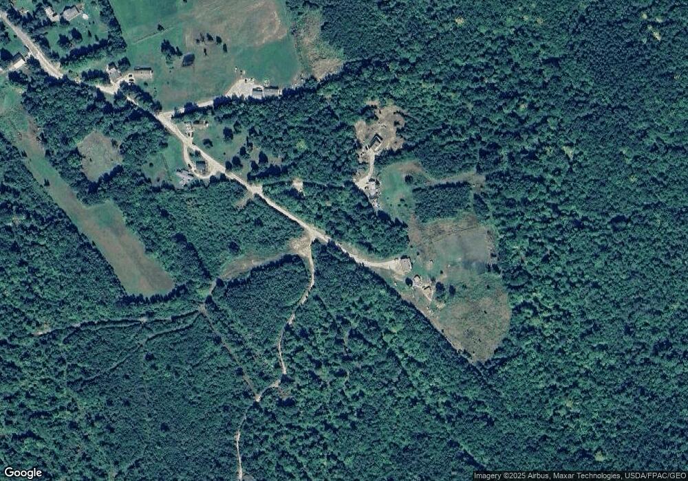
Map
Nearby Homes
- 585 Main St
- 729 Main St
- 14 Butterfield Rd
- 14 Mcneil Rd
- 409 Gammon Rd
- 42 Front St
- 67 Fields Hill Rd
- 20 Front St
- 15 Front St
- 66 Ridge Rd
- 289 Tucker Rd
- 1443 Main St
- Lot A Blackberry Ln
- 319 Old Sumner Rd
- Lot B Blackberry Ln
- M19 L6-6 Tuell Hill Rd
- Lots 10&11 Davenport Rd
- 20 Kittridge Brook Rd
- 216 Brock School Rd
- Lot#32 Beech Ridge Ln
- 314 Upper Sumner Hill Rd
- 344 Upper Sumner Hill Rd
- 288 Upper Sumner Hill Rd
- 290 Upper Sumner Hill Rd
- 315 Upper Sumner Hill Rd
- 282 Upper Sumner Hill Rd
- 262 Summer Hill Rd
- 262 Upper Sumner Hill Rd
- 259 Upper Sumner Hill Rd
- 249 Upper Sumner Hill Rd
- 232 Upper Sumner Hill Rd
- 242 Upper Sumner Hill Rd
- 235 Upper Sumner Hill Rd
- 225 Upper Sumner Hill Rd
- 214 Upper Sumner Hill Rd
- 207 Upper Sumner Hill Rd
- 132 Upper Sumner Hill Rd
- 132 Upper Sumner Hill Rd
- 424 Bradeen Rd
- 322 Main St
Your Personal Tour Guide
Ask me questions while you tour the home.