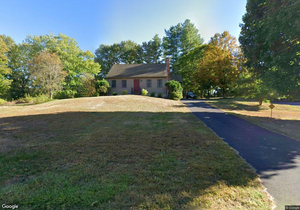
334 W Main St Groton, MA 01450
Estimated Value: $506,000 - $700,000
3
Beds
2
Baths
1,591
Sq Ft
$368/Sq Ft
Est. Value
About This Home
This home is located at 334 W Main St, Groton, MA 01450 and is currently estimated at $585,944, approximately $368 per square foot. 334 W Main St is a home located in Middlesex County with nearby schools including Groton Dunstable Regional High School, Groton Community School, and Seven Hills At Groton.
Ownership History
Date
Name
Owned For
Owner Type
Purchase Details
Closed on
Aug 23, 2016
Sold by
Branigan Carter and Branigan Letitia K
Bought by
Branigan Carter and Branigan Letitia K
Current Estimated Value
Purchase Details
Closed on
May 3, 2004
Sold by
Patenaude Charles R and Haire Teresa C
Bought by
Keane Daragh and Keane Holly A
Home Financials for this Owner
Home Financials are based on the most recent Mortgage that was taken out on this home.
Original Mortgage
$263,200
Interest Rate
5.36%
Mortgage Type
Purchase Money Mortgage
Purchase Details
Closed on
May 25, 2001
Sold by
Griffin Danny J and Griffin Cynthia A
Bought by
Patenaude Charles and Haire Teresa
Home Financials for this Owner
Home Financials are based on the most recent Mortgage that was taken out on this home.
Original Mortgage
$245,000
Interest Rate
7.05%
Mortgage Type
Purchase Money Mortgage
Create a Home Valuation Report for This Property
The Home Valuation Report is an in-depth analysis detailing your home's value as well as a comparison with similar homes in the area
Home Values in the Area
Average Home Value in this Area
Purchase History
| Date | Buyer | Sale Price | Title Company |
|---|---|---|---|
| Branigan Carter | -- | -- | |
| Branigan Carter | -- | -- | |
| Branigan Carter | -- | -- | |
| Keane Daragh | $329,900 | -- | |
| Keane Daragh | $329,900 | -- | |
| Patenaude Charles | $258,000 | -- |
Source: Public Records
Mortgage History
| Date | Status | Borrower | Loan Amount |
|---|---|---|---|
| Previous Owner | Keane Daragh | $263,200 | |
| Previous Owner | Patenaude Charles | $245,000 |
Source: Public Records
Tax History Compared to Growth
Tax History
| Year | Tax Paid | Tax Assessment Tax Assessment Total Assessment is a certain percentage of the fair market value that is determined by local assessors to be the total taxable value of land and additions on the property. | Land | Improvement |
|---|---|---|---|---|
| 2025 | $7,190 | $471,500 | $184,600 | $286,900 |
| 2024 | $7,225 | $478,800 | $184,600 | $294,200 |
| 2023 | $6,755 | $431,900 | $177,000 | $254,900 |
| 2022 | $6,336 | $368,600 | $162,100 | $206,500 |
| 2021 | $5,986 | $340,100 | $153,100 | $187,000 |
| 2020 | $5,675 | $326,500 | $151,600 | $174,900 |
| 2019 | $5,571 | $307,600 | $150,000 | $157,600 |
| 2018 | $2,592 | $284,800 | $147,000 | $137,800 |
| 2017 | $5,034 | $275,700 | $150,000 | $125,700 |
| 2016 | $4,930 | $262,500 | $142,700 | $119,800 |
| 2015 | $4,796 | $262,500 | $142,700 | $119,800 |
Source: Public Records
Map
Nearby Homes
- 65 W Main St
- 37 Pepperell Rd
- 111 Farmers Row
- 521 Main St Unit D
- 436 Main St
- 59 Squannacook Rd
- 147 Shirley St
- 44 Nod Rd
- 117 Main St
- 21 Blacksmith Row Unit 21
- 43 Longley Rd
- 320 Old Ayer Rd
- Lot 9A Hayes Woods Ln
- 20 Hayes Woods Ln
- 18 Douglas Dr
- 346 Townsend Rd
- 354 Townsend Rd
- 121 Culver Rd
- 111 Squannacook Rd
- 21 Lovers Ln
- 328 W Main St
- 9 Town Forest Rd
- 0 W Main St
- 347 W Main St
- 19 Town Forest Rd
- 25 Town Forest Rd
- 312 W Main St
- 22 Town Forest Rd
- 356 W Main St
- 35 Town Forest Rd
- 360 W Main St
- 302 W Main St
- 366 W Main St
- 47 Town Forest Rd
- 36 Town Forest Rd
- 21 Wharton Row
- 69 Hill Rd
- 28 Town Forest Rd
- 111 Wharton Row
- 0 Hill Rd