Estimated Value: $345,000 - $529,567
Studio
1
Bath
2,018
Sq Ft
$211/Sq Ft
Est. Value
About This Home
This home is located at 3340 Bruff Rd, Byron, MI 48418 and is currently estimated at $426,642, approximately $211 per square foot. 3340 Bruff Rd is a home with nearby schools including Byron Area Elementary School, Byron Area Middle School, and Byron Area High School.
Ownership History
Date
Name
Owned For
Owner Type
Purchase Details
Closed on
Jun 20, 2018
Sold by
Glass Michael and Zube Angela
Bought by
Glass Michael W and Glass Angela M
Current Estimated Value
Purchase Details
Closed on
Apr 25, 2013
Sold by
Citizens Bank
Bought by
Glass Michael and Zube Angela
Purchase Details
Closed on
Oct 10, 2012
Sold by
Sanders Ii Gordon E
Bought by
Citizens Bank and Republic Bank
Purchase Details
Closed on
May 2, 2012
Sold by
Elliott Susanne Jean and Sanders Susanne Hean
Bought by
Sanders Ii Gordon Eugene
Purchase Details
Closed on
Aug 17, 2001
Sold by
Romaniuk Nicholas A and Romaniuk Martha
Bought by
Sanders Ii Gordon E
Create a Home Valuation Report for This Property
The Home Valuation Report is an in-depth analysis detailing your home's value as well as a comparison with similar homes in the area
Home Values in the Area
Average Home Value in this Area
Purchase History
| Date | Buyer | Sale Price | Title Company |
|---|---|---|---|
| Glass Michael W | -- | -- | |
| Glass Michael | $25,000 | -- | |
| Citizens Bank | $28,000 | -- | |
| Sanders Ii Gordon Eugene | -- | -- | |
| Sanders Ii Gordon E | $74,500 | Select Title |
Source: Public Records
Tax History
| Year | Tax Paid | Tax Assessment Tax Assessment Total Assessment is a certain percentage of the fair market value that is determined by local assessors to be the total taxable value of land and additions on the property. | Land | Improvement |
|---|---|---|---|---|
| 2025 | $1,544 | $253,000 | $0 | $0 |
| 2024 | $1,500 | $212,600 | $0 | $0 |
| 2023 | $1,431 | $222,600 | $0 | $0 |
| 2022 | $3,178 | $176,800 | $0 | $0 |
| 2021 | $2,962 | $162,700 | $0 | $0 |
| 2020 | $2,949 | $163,800 | $0 | $0 |
| 2019 | $2,475 | $150,100 | $0 | $0 |
| 2018 | $2,347 | $103,100 | $0 | $0 |
| 2017 | $3,571 | $103,100 | $0 | $0 |
| 2016 | $2,273 | $64,000 | $0 | $0 |
| 2014 | $850 | $21,000 | $0 | $0 |
| 2012 | $850 | $24,100 | $0 | $0 |
Source: Public Records
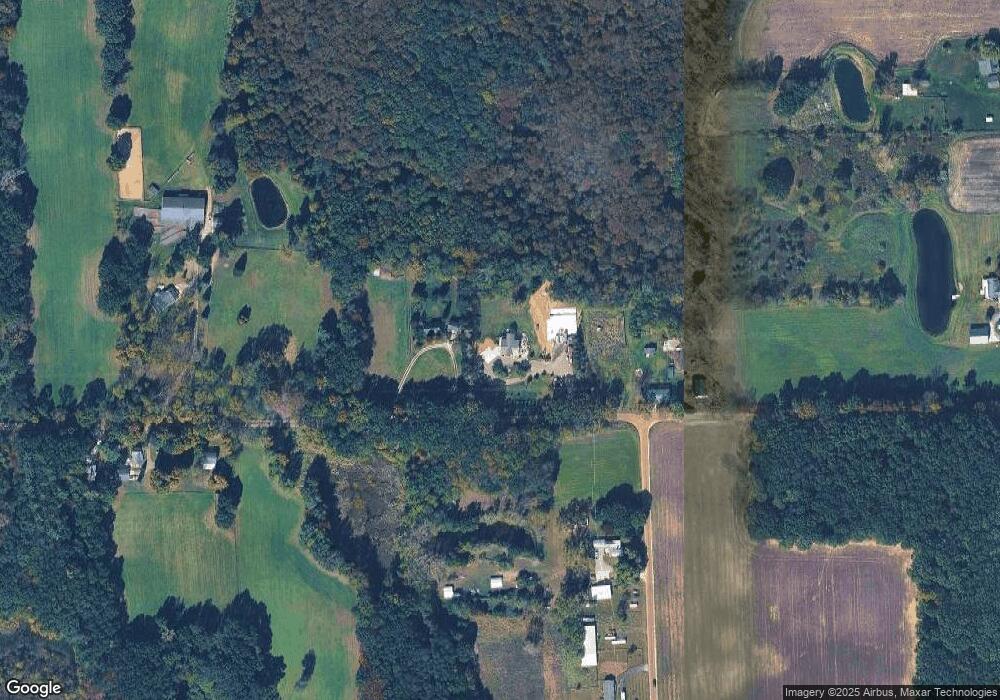
Map
Nearby Homes
- VL W Bruff Rd
- Pine Knob Rd Lot Unit WP001
- 0 Lovejoy Rd Unit 20261017550
- 9631 Byron Rd
- 0 Hayner Rd Unit 20251044211
- 00 Lehring and Britton Roads
- Parcel E Turkey Trail
- Parcel F Turkey Trail
- Parcel D Turkey Trail
- 206 Emmett
- 7960 Beard Rd
- 6400 Sober Rd
- 6632 Hanna Ct
- N Schrepfer Rd
- L Schrepfer Rd
- 4961 W Lovejoy Rd
- 14830 County Line Rd
- 2555 E Cohoctah Rd
- 9776 Marsh Rd
- 9697 Marsh Rd
Your Personal Tour Guide
Ask me questions while you tour the home.