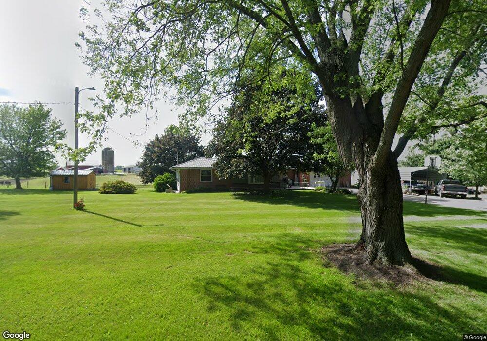
3340 Misere Rd Orrville, OH 44667
Estimated Value: $241,000 - $278,000
3
Beds
2
Baths
1,100
Sq Ft
$235/Sq Ft
Est. Value
About This Home
This home is located at 3340 Misere Rd, Orrville, OH 44667 and is currently estimated at $258,141, approximately $234 per square foot. 3340 Misere Rd is a home located in Wayne County with nearby schools including Orrville Elementary School, Orrville Middle School, and Orrville High School.
Ownership History
Date
Name
Owned For
Owner Type
Purchase Details
Closed on
May 10, 2010
Sold by
Martin Harlan M Aka Harlan and Martin Lillian M, Aka Lillian
Bought by
Martin Harlan M and Martin Lillian M
Current Estimated Value
Purchase Details
Closed on
Sep 8, 2008
Sold by
Lemon James R and Lemon Dorcas L
Bought by
Martin Harlan M and Martin Lillian M
Home Financials for this Owner
Home Financials are based on the most recent Mortgage that was taken out on this home.
Original Mortgage
$108,000
Interest Rate
6.66%
Mortgage Type
Future Advance Clause Open End Mortgage
Create a Home Valuation Report for This Property
The Home Valuation Report is an in-depth analysis detailing your home's value as well as a comparison with similar homes in the area
Home Values in the Area
Average Home Value in this Area
Purchase History
| Date | Buyer | Sale Price | Title Company |
|---|---|---|---|
| Martin Harlan M | -- | -- | |
| Martin Harlan M | $150,000 | Attorney |
Source: Public Records
Mortgage History
| Date | Status | Borrower | Loan Amount |
|---|---|---|---|
| Previous Owner | Martin Harlan M | $108,000 |
Source: Public Records
Tax History Compared to Growth
Tax History
| Year | Tax Paid | Tax Assessment Tax Assessment Total Assessment is a certain percentage of the fair market value that is determined by local assessors to be the total taxable value of land and additions on the property. | Land | Improvement |
|---|---|---|---|---|
| 2024 | $2,963 | $73,450 | $17,850 | $55,600 |
| 2023 | $2,963 | $73,450 | $17,850 | $55,600 |
| 2022 | $2,381 | $52,840 | $12,840 | $40,000 |
| 2021 | $2,443 | $52,840 | $12,840 | $40,000 |
| 2020 | $2,469 | $52,840 | $12,840 | $40,000 |
| 2019 | $1,955 | $39,270 | $11,050 | $28,220 |
| 2018 | $1,968 | $39,270 | $11,050 | $28,220 |
| 2017 | $1,973 | $39,270 | $11,050 | $28,220 |
| 2016 | $1,941 | $37,920 | $11,050 | $26,870 |
| 2015 | $1,906 | $37,920 | $11,050 | $26,870 |
| 2014 | $1,948 | $37,920 | $11,050 | $26,870 |
| 2013 | $1,900 | $35,830 | $11,250 | $24,580 |
Source: Public Records
Map
Nearby Homes
- 16201 Burton City Rd
- 16450 Church Rd
- 2921 NW Lebanon Rd
- V/L Burton City Rd
- 18060 Huprick Rd
- 0 Dalton Fox Lake Rd
- 223 Tanglewood Dr
- 712 Homestead Pointe Dr
- 704 Homestead Pointe Dr
- 548 Center St
- 600 E Paradise St
- 119 Briarwood Dr
- 15288 Old Lincoln Way
- 4125 Deerfield Ave NW
- 18803 Church Rd
- 122 E Paradise St
- 209 Greenbriar Ln
- 206 E Main St
- 504 Burnett Ave
- 603 S Main St
- 3319 Misere Rd
- 3382 Misere Rd
- 3388 Misere Rd
- 3357 Misere Rd
- 3375 Misere Rd
- 3365 Misere Rd
- 3395 Misere Rd
- 3250 Misere Rd
- 3456 Misere Rd
- 3418 Mount Eaton Rd N
- 3480 Misere Rd
- 3298 Mount Eaton Rd
- 3438 Misere Rd
- 3298 Mount Eaton Rd N
- 3488 Misere Rd
- 3594 West St
- 3452 Misere Rd
- 3452 Misere Rd
- 3260 Mount Eaton Rd
- 15513 Market St