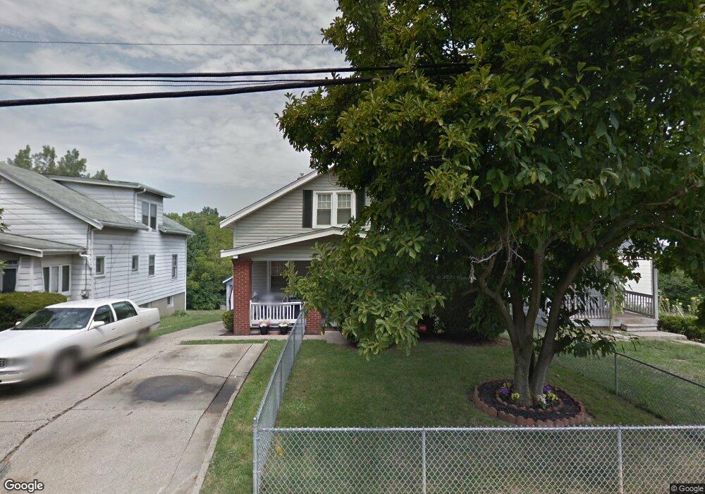
3340 Saffer St Cincinnati, OH 45211
East Westwood NeighborhoodEstimated Value: $133,000 - $164,000
4
Beds
2
Baths
1,613
Sq Ft
$93/Sq Ft
Est. Value
About This Home
This home is located at 3340 Saffer St, Cincinnati, OH 45211 and is currently estimated at $150,068, approximately $93 per square foot. 3340 Saffer St is a home located in Hamilton County with nearby schools including Western Hills High School, Gilbert A. Dater High School, and Robert A. Taft Information Technology High School.
Ownership History
Date
Name
Owned For
Owner Type
Purchase Details
Closed on
Oct 29, 1999
Sold by
Reese Joanne P
Bought by
Spencer Marcina E
Current Estimated Value
Home Financials for this Owner
Home Financials are based on the most recent Mortgage that was taken out on this home.
Original Mortgage
$57,337
Outstanding Balance
$16,454
Interest Rate
7.87%
Mortgage Type
FHA
Estimated Equity
$133,614
Purchase Details
Closed on
Aug 19, 1997
Sold by
Rippy Stephen D
Bought by
Reese Joanne P and Rippy Joanne P
Create a Home Valuation Report for This Property
The Home Valuation Report is an in-depth analysis detailing your home's value as well as a comparison with similar homes in the area
Home Values in the Area
Average Home Value in this Area
Purchase History
| Date | Buyer | Sale Price | Title Company |
|---|---|---|---|
| Spencer Marcina E | $57,400 | United Title Agency Of Cinci | |
| Reese Joanne P | -- | -- |
Source: Public Records
Mortgage History
| Date | Status | Borrower | Loan Amount |
|---|---|---|---|
| Open | Spencer Marcina E | $57,337 |
Source: Public Records
Tax History
| Year | Tax Paid | Tax Assessment Tax Assessment Total Assessment is a certain percentage of the fair market value that is determined by local assessors to be the total taxable value of land and additions on the property. | Land | Improvement |
|---|---|---|---|---|
| 2025 | $1,806 | $29,092 | $5,747 | $23,345 |
| 2023 | $1,791 | $29,092 | $5,747 | $23,345 |
| 2022 | $1,019 | $14,742 | $5,019 | $9,723 |
| 2021 | $979 | $14,742 | $5,019 | $9,723 |
| 2020 | $1,005 | $14,742 | $5,019 | $9,723 |
| 2019 | $1,000 | $13,402 | $4,564 | $8,838 |
| 2018 | $1,001 | $13,402 | $4,564 | $8,838 |
| 2017 | $952 | $13,402 | $4,564 | $8,838 |
| 2016 | $1,085 | $15,110 | $5,831 | $9,279 |
| 2015 | $979 | $15,110 | $5,831 | $9,279 |
| 2014 | $986 | $15,110 | $5,831 | $9,279 |
| 2013 | $1,089 | $16,426 | $6,339 | $10,087 |
Source: Public Records
Map
Nearby Homes
- 3312 Mchenry Ave
- 3295 Fyffe Ave
- 3384 Ninann Ct
- 2424 Westwood Northern Blvd
- 2183 Westwood Northern Blvd
- 3041 Westknolls Ln
- 2962 Aquadale Ln
- 2163 Baltimore Ave
- 3519 Mchenry Ave
- 3162 Sunshine Ave
- 3521 Mchenry Ave
- 2085 N Teralta Cir
- 2505 Foxcove Ct
- 3116 Gobel Ave
- 2725 Faber Ave
- 2043 E Teralta Cir
- 3042 Percy Ave
- 2352 Iroll Ave
- 2525 Millennium Place
- 2114 Saint Leo Place
- 3344 Saffer St
- 3336 Saffer St
- 3348 Saffer St
- 3352 Saffer St
- 3331 Saffer St
- 3339 Saffer St
- 3356 Saffer St
- 3322 Saffer St
- 3360 Saffer St
- 3316 Saffer St
- 3357 Saffer St
- 3264 Mchenry Ave
- 3361 Saffer St
- 3312 Saffer St
- 3365 Saffer St
- 3314 Mchenry Ave
- 3324 Mchenry Ave
- 3323 Fyffe Ave
- 3318 Mchenry Ave
- 3260 Mchenry Ave
Your Personal Tour Guide
Ask me questions while you tour the home.