3341 Kelso Rd North Adams, MI 49262
Estimated Value: $194,932 - $287,000
--
Bed
3
Baths
1,200
Sq Ft
$199/Sq Ft
Est. Value
About This Home
This home is located at 3341 Kelso Rd, North Adams, MI 49262 and is currently estimated at $238,233, approximately $198 per square foot. 3341 Kelso Rd is a home located in Hillsdale County with nearby schools including Pittsford Area Elementary School and Pittsford Area High School.
Ownership History
Date
Name
Owned For
Owner Type
Purchase Details
Closed on
Apr 13, 2004
Sold by
Reed John W and Reed Shelley M
Bought by
Reed John W and Reed Shelley M
Current Estimated Value
Home Financials for this Owner
Home Financials are based on the most recent Mortgage that was taken out on this home.
Original Mortgage
$60,500
Interest Rate
5.46%
Mortgage Type
Unknown
Purchase Details
Closed on
Feb 15, 1999
Sold by
Reed Hal and Reed Marilynn
Bought by
Reed John W and Reed Shelley M
Purchase Details
Closed on
Jul 28, 1995
Sold by
Reed Reed C C and Reed Marilynn J
Bought by
Reed Reed C and Reed Marilynn J
Create a Home Valuation Report for This Property
The Home Valuation Report is an in-depth analysis detailing your home's value as well as a comparison with similar homes in the area
Home Values in the Area
Average Home Value in this Area
Purchase History
| Date | Buyer | Sale Price | Title Company |
|---|---|---|---|
| Reed John W | -- | -- | |
| Reed John W | $100 | -- | |
| Reed Reed C | -- | -- |
Source: Public Records
Mortgage History
| Date | Status | Borrower | Loan Amount |
|---|---|---|---|
| Closed | Reed John W | $60,500 |
Source: Public Records
Tax History Compared to Growth
Tax History
| Year | Tax Paid | Tax Assessment Tax Assessment Total Assessment is a certain percentage of the fair market value that is determined by local assessors to be the total taxable value of land and additions on the property. | Land | Improvement |
|---|---|---|---|---|
| 2025 | $1,000 | $86,900 | $0 | $0 |
| 2024 | $509 | $85,300 | $0 | $0 |
| 2023 | $485 | $79,200 | $0 | $0 |
| 2022 | $944 | $85,400 | $0 | $0 |
| 2021 | $926 | $69,300 | $0 | $0 |
| 2020 | $922 | $53,200 | $0 | $0 |
| 2019 | $886 | $52,800 | $0 | $0 |
| 2018 | $839 | $47,300 | $0 | $0 |
| 2017 | $841 | $44,700 | $0 | $0 |
| 2016 | $838 | $42,000 | $0 | $0 |
| 2015 | $409 | $42,000 | $0 | $0 |
| 2013 | $396 | $39,640 | $0 | $0 |
| 2012 | $386 | $35,280 | $0 | $0 |
Source: Public Records
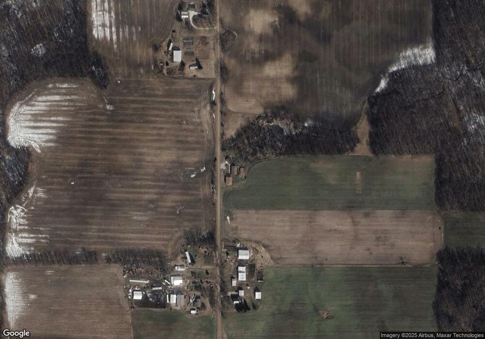
Map
Nearby Homes
- 10531 Wood Rd
- 3635 Waldron Rd
- 10720 E Bacon Rd
- 10720A E Bacon Rd
- 13820 N Adams Rd
- 13851 Church Rd
- 1291 N Somerset Rd
- 2951 N Meridian Rd
- 2331 Slater Rd
- 18870 Quaker Rd
- 0 Combs Rd
- 5875 U S 127
- 3051 S Kelso Rd
- 18664 Bradstreet Rd
- 14980 Forrister Rd
- 18600 Manitou Rd
- 18000 blk Forrister Rd
- 18000 blk #2 Forrister Rd
- 18000 blk #3 Forrister Rd
- 18000 blk #1 Forrister Rd