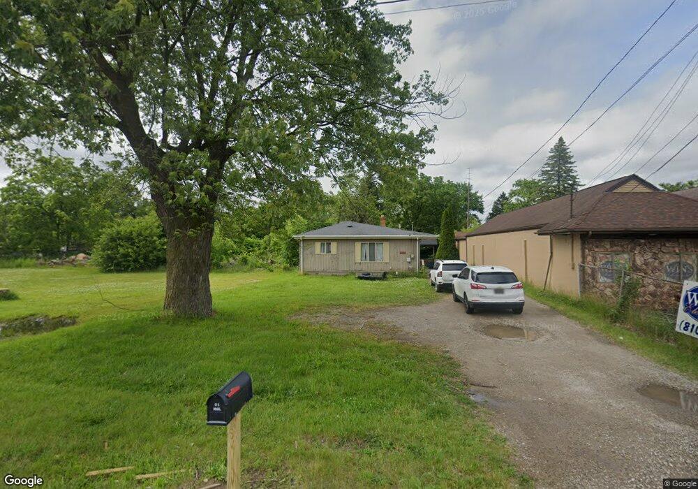
3341 Richfield Rd Flint, MI 48506
Northeast Flint NeighborhoodEstimated Value: $65,380 - $84,000
Studio
--
Bath
880
Sq Ft
$81/Sq Ft
Est. Value
About This Home
This home is located at 3341 Richfield Rd, Flint, MI 48506 and is currently estimated at $71,595, approximately $81 per square foot. 3341 Richfield Rd is a home located in Genesee County with nearby schools including Weston Elementary School, Kate Dowdall Elementary School, and Leota Fiedler Elementary School.
Ownership History
Date
Name
Owned For
Owner Type
Purchase Details
Closed on
Mar 30, 2017
Sold by
S & S Acquisitions Group Llc
Bought by
Ssa Gen Llc
Current Estimated Value
Purchase Details
Closed on
Feb 17, 2017
Sold by
Charron Brian A
Bought by
S & S Acquistions Group Llc
Purchase Details
Closed on
Nov 16, 2016
Sold by
Charron Brian J
Bought by
Abn Amro Mortgage Group Inc
Purchase Details
Closed on
Sep 26, 2000
Sold by
Listeman Marjorie B and Listeman Bobbie N
Bought by
Charron Brian J
Create a Home Valuation Report for This Property
The Home Valuation Report is an in-depth analysis detailing your home's value as well as a comparison with similar homes in the area
Home Values in the Area
Average Home Value in this Area
Purchase History
| Date | Buyer | Sale Price | Title Company |
|---|---|---|---|
| Ssa Gen Llc | -- | None Available | |
| S & S Acquistions Group Llc | -- | None Available | |
| Abn Amro Mortgage Group Inc | $4,500 | None Available | |
| Charron Brian J | $47,900 | Guaranty Title Company |
Source: Public Records
Tax History
| Year | Tax Paid | Tax Assessment Tax Assessment Total Assessment is a certain percentage of the fair market value that is determined by local assessors to be the total taxable value of land and additions on the property. | Land | Improvement |
|---|---|---|---|---|
| 2025 | $1,311 | $31,700 | $0 | $0 |
| 2024 | $232 | $31,500 | $0 | $0 |
| 2023 | $222 | $29,100 | $0 | $0 |
| 2022 | $1,090 | $23,300 | $0 | $0 |
| 2021 | $1,084 | $20,800 | $0 | $0 |
| 2020 | $203 | $18,900 | $0 | $0 |
| 2019 | $200 | $17,200 | $0 | $0 |
| 2018 | $1,061 | $17,200 | $0 | $0 |
| 2017 | $1,093 | $17,300 | $0 | $0 |
| 2016 | $692 | $17,200 | $0 | $0 |
| 2015 | $542 | $17,300 | $0 | $0 |
| 2014 | $181 | $16,400 | $0 | $0 |
| 2012 | -- | $15,100 | $15,100 | $0 |
Source: Public Records
Map
Nearby Homes
- 00 Richfield Rd
- 3705 Aldon Ln
- 3294 Huggins Ave
- 3210 Wyoming Ave
- 3006 Agree Ave
- 2935 Richfield Rd
- 3118 Wyoming Ave
- 3734 Craig Dr
- 3301 N Center Rd
- 3010 Wyoming Ave
- 3364 E Pierson Rd
- 3413 Dakota Ave
- 3602 Dakota Ave
- 3456 E Pierson Rd
- 3314 Dakota Ave
- 4907 Delta Dr
- 3018 Dakota Ave
- 2274 N Center Rd
- 2719 Branch Rd
- 4253 Potter Rd
- 3335 Richfield Rd
- 3157 Huggins Ave
- 3333 Richfield Rd
- 3520 Richfield Rd
- 3163 Huggins Ave
- 3173 Huggins Ave
- 3168 Huggins Ave
- 3377 Richfield Rd
- 3183 Huggins Ave
- 3602 Richfield Rd
- 3155 Drexel Ave
- 3430 Richfield Rd
- 3608 Richfield Rd
- 3383 Richfield Rd
- 3159 Drexel Ave
- 3176 N Term St
- 3184 Huggins Ave
- 3170 N Term St
- 3167 Drexel Ave
- 3614 Richfield Rd
Your Personal Tour Guide
Ask me questions while you tour the home.