Estimated Value: $1,009,000 - $1,488,000
4
Beds
6
Baths
3,434
Sq Ft
$360/Sq Ft
Est. Value
About This Home
This home is located at 33415 Ridge Rd, Afton, OK 74331 and is currently estimated at $1,237,899, approximately $360 per square foot. 33415 Ridge Rd is a home located in Delaware County with nearby schools including Cleora Public School.
Ownership History
Date
Name
Owned For
Owner Type
Purchase Details
Closed on
Apr 21, 2023
Sold by
Sheriff Of Delaware County
Bought by
Bank Of New York and Certificateholders Of Cwmbs Inc
Current Estimated Value
Purchase Details
Closed on
Jun 1, 2007
Sold by
Rupe John A and Rupe Anne L
Bought by
Wagner Eric M and Wagner Angela R
Home Financials for this Owner
Home Financials are based on the most recent Mortgage that was taken out on this home.
Original Mortgage
$650,000
Interest Rate
6.17%
Mortgage Type
New Conventional
Purchase Details
Closed on
Nov 14, 2005
Sold by
Colt Companies Inc
Bought by
Rupe John A and Rupe Anne L
Home Financials for this Owner
Home Financials are based on the most recent Mortgage that was taken out on this home.
Original Mortgage
$560,000
Interest Rate
8.85%
Mortgage Type
Adjustable Rate Mortgage/ARM
Purchase Details
Closed on
Jul 26, 2004
Sold by
Rupe John A and Rupe Anne L
Create a Home Valuation Report for This Property
The Home Valuation Report is an in-depth analysis detailing your home's value as well as a comparison with similar homes in the area
Home Values in the Area
Average Home Value in this Area
Purchase History
| Date | Buyer | Sale Price | Title Company |
|---|---|---|---|
| Bank Of New York | -- | None Listed On Document | |
| Wagner Eric M | $937,500 | -- | |
| Rupe John A | -- | -- | |
| -- | -- | -- |
Source: Public Records
Mortgage History
| Date | Status | Borrower | Loan Amount |
|---|---|---|---|
| Previous Owner | Wagner Eric M | $650,000 | |
| Previous Owner | Rupe John A | $560,000 |
Source: Public Records
Tax History Compared to Growth
Tax History
| Year | Tax Paid | Tax Assessment Tax Assessment Total Assessment is a certain percentage of the fair market value that is determined by local assessors to be the total taxable value of land and additions on the property. | Land | Improvement |
|---|---|---|---|---|
| 2025 | $9,410 | $119,814 | $7,823 | $111,991 |
| 2024 | $9,410 | $114,109 | $7,451 | $106,658 |
| 2023 | $9,046 | $108,675 | $6,943 | $101,732 |
| 2022 | $8,615 | $103,500 | $6,943 | $96,557 |
| 2021 | $8,674 | $103,500 | $6,943 | $96,557 |
| 2020 | $8,778 | $103,500 | $6,943 | $96,557 |
| 2019 | $8,812 | $103,500 | $6,943 | $96,557 |
| 2018 | $8,892 | $103,500 | $7,230 | $96,270 |
| 2017 | $8,989 | $103,500 | $7,230 | $96,270 |
| 2016 | $8,669 | $103,500 | $7,230 | $96,270 |
| 2015 | $7,793 | $103,500 | $7,230 | $96,270 |
| 2014 | $7,793 | $103,500 | $7,230 | $96,270 |
Source: Public Records
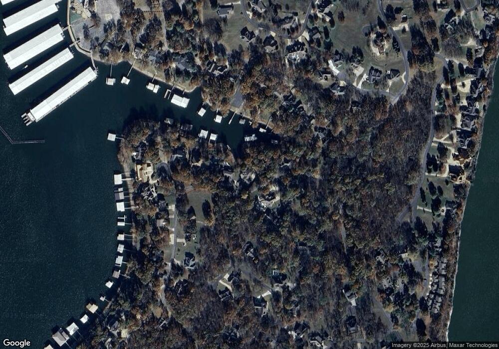
Map
Nearby Homes
- 0 Blue Grouse Dr
- TBD Blue Grouse Dr
- 451393 Blue Heron
- 33550 Ridge Rd
- 33469 Blue Grouse Dr
- 33215 Cardinal Dr
- 452498 Blue Bird Dr
- 0 Ridge Rd Unit 2517984
- 33662 Quail Ct
- 33601 Dogwood Cliff Townhomes Unit 6
- 33389 S Coves Dr
- 33690 Sage Grouse Cir
- 33601 Dogwood Cliff Unit 15
- 33601 Dogwood Cliff Unit 14
- 33601 Dogwood Cliff
- 33157 Cardinal Dr
- 451505 Mountain Quail Ln
- 33765 S Coves Dr
- 0 S Coves Dr Unit 2516517
- 0 Lot 23 Blk 2 Coves
- 33419 Ridge Rd
- 33411 Ridge Rd
- 0 452498 Blue Bird Ln Unit 12-1697
- 451466 Ridge Road Cir
- 33421 Ridge Rd
- 451473 Ridge Road Cir
- 33405 Ridge Rd
- 451481 Ridge Road Cir
- 33401 Ridge Rd
- 33401 Ridge Rd Unit 1553-720
- 451473 Ridge Rd
- 33441 Blue Grouse Dr
- 33468 Blue Grouse Dr
- 33364 Ridge Road Ct
- 451433 Blue Heron
- 451451 Blue Heron
- 451415 Blue Heron
- 451463 Blue Heron
- 451365 Blue Heron
- 451398 Blue Grouse Ln