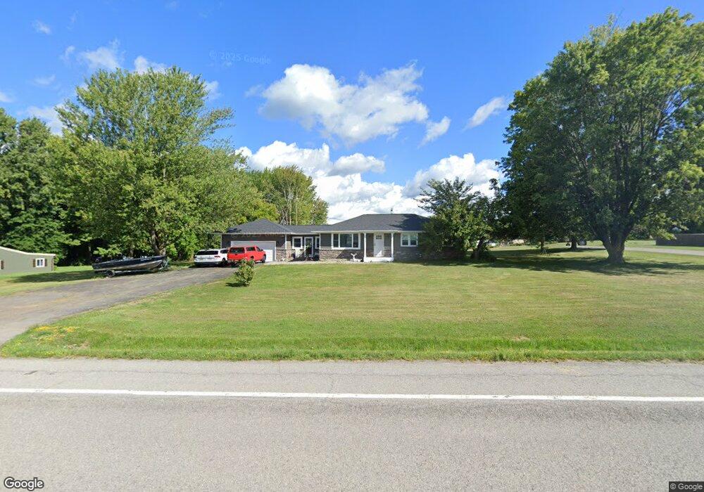
3342 Brockport Spencerport Rd Unit R Spencerport, NY 14559
Estimated Value: $243,000 - $294,954
3
Beds
2
Baths
1,512
Sq Ft
$178/Sq Ft
Est. Value
About This Home
This home is located at 3342 Brockport Spencerport Rd Unit R, Spencerport, NY 14559 and is currently estimated at $269,739, approximately $178 per square foot. 3342 Brockport Spencerport Rd Unit R is a home located in Monroe County with nearby schools including A M Cosgrove Middle School and Spencerport High School.
Ownership History
Date
Name
Owned For
Owner Type
Purchase Details
Closed on
Mar 22, 2023
Sold by
Home Pride Builders And Developers Inc
Bought by
Hynes Ann C
Current Estimated Value
Purchase Details
Closed on
Jan 20, 2021
Sold by
Land Holding Llc
Bought by
Home Pride Builders And Developers Inc
Purchase Details
Closed on
Oct 21, 2019
Sold by
Affix Joel Kevin
Bought by
Land Holding Llc
Create a Home Valuation Report for This Property
The Home Valuation Report is an in-depth analysis detailing your home's value as well as a comparison with similar homes in the area
Home Values in the Area
Average Home Value in this Area
Purchase History
| Date | Buyer | Sale Price | Title Company |
|---|---|---|---|
| Hynes Ann C | $222,500 | Crossroads Abstract | |
| Home Pride Builders And Developers Inc | $72,800 | None Available | |
| Land Holding Llc | $122,110 | None Available |
Source: Public Records
Tax History Compared to Growth
Tax History
| Year | Tax Paid | Tax Assessment Tax Assessment Total Assessment is a certain percentage of the fair market value that is determined by local assessors to be the total taxable value of land and additions on the property. | Land | Improvement |
|---|---|---|---|---|
| 2024 | $6,278 | $235,000 | $35,000 | $200,000 |
| 2023 | $5,878 | $138,000 | $31,500 | $106,500 |
| 2022 | $2,904 | $72,000 | $31,500 | $40,500 |
| 2021 | $3,104 | $72,000 | $31,500 | $40,500 |
| 2020 | $3,935 | $72,000 | $31,500 | $40,500 |
| 2019 | $7,315 | $147,300 | $31,500 | $115,800 |
| 2018 | $9,467 | $147,300 | $31,500 | $115,800 |
| 2017 | $3,258 | $133,900 | $31,500 | $102,400 |
| 2016 | $8,755 | $133,900 | $32,000 | $101,900 |
| 2015 | -- | $133,900 | $32,000 | $101,900 |
| 2014 | -- | $133,900 | $32,000 | $101,900 |
Source: Public Records
Map
Nearby Homes
- 3375 Brockport Spencerport Rd
- 4028 Canal Rd
- vl Canal Rd
- 24 Birdsong Terrace
- 76 Hawthorne Dr
- 4310 Canal Rd
- 389 Washington St
- 607 Trimmer Rd
- 0000 Bay Leaf Cir Lot#119
- 000
- 00 Bay Leaf Circle Lot#117
- 0 Unit R1620030
- 326 Village Walk Cir
- 911 Washington St
- 909 Washington St
- 154 Amity St
- 87 Highview Dr
- 78 Clark St
- 6 Walnut Hill Dr
- 2283 S Union St
- 3342 Brockport Spencerport Rd
- 3344 Brockport Spencerport Rd
- 3330 Brockport Spencerport Rd
- 3346 Brockport Spencerport Rd
- 3329 Brockport Spencerport Rd
- 3331 Brockport Spencerport Rd
- 3327 Brockport Spencerport Rd
- 3333 Brockport Spencerport Rd Unit R
- 3333 Brockport Spencerport Rd
- 3328 Brockport Spencerport Rd
- 3319 Brockport Spencerport Rd
- 3348 Brockport Spencerport Rd
- 3315 Brockport Spencerport Rd
- 3315 Brockport Spencerport Rd Unit R
- 3326 Brockport Spencerport Rd
- 3350 Brockport Spencerport Rd
- 3337 Brockport Spencerport Rd
- 3311 Brockport Spencerport Rd
- 3332 Brockport Spencerport Rd
- 3339 Brockport Spencerport Rd