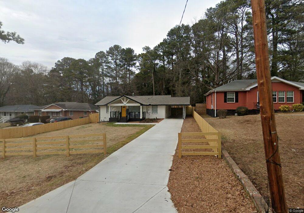
3342 Mcafee Rd Decatur, GA 30032
Estimated Value: $198,000 - $226,000
3
Beds
1
Bath
1,137
Sq Ft
$190/Sq Ft
Est. Value
About This Home
This home is located at 3342 Mcafee Rd, Decatur, GA 30032 and is currently estimated at $216,408, approximately $190 per square foot. 3342 Mcafee Rd is a home located in DeKalb County with nearby schools including Snapfinger Elementary School, Columbia Middle School, and Columbia High School.
Ownership History
Date
Name
Owned For
Owner Type
Purchase Details
Closed on
Jan 3, 2024
Sold by
Aspire Capital Enterprises Llc
Bought by
Ga Pro Services Llc
Current Estimated Value
Purchase Details
Closed on
Aug 10, 2018
Sold by
Mclaughin James Howard
Bought by
Aspire Capital Enterprises Llc
Home Financials for this Owner
Home Financials are based on the most recent Mortgage that was taken out on this home.
Original Mortgage
$142,000
Interest Rate
4.5%
Mortgage Type
New Conventional
Create a Home Valuation Report for This Property
The Home Valuation Report is an in-depth analysis detailing your home's value as well as a comparison with similar homes in the area
Home Values in the Area
Average Home Value in this Area
Purchase History
| Date | Buyer | Sale Price | Title Company |
|---|---|---|---|
| Ga Pro Services Llc | $190,000 | -- | |
| Aspire Capital Enterprises Llc | $89,000 | -- |
Source: Public Records
Mortgage History
| Date | Status | Borrower | Loan Amount |
|---|---|---|---|
| Previous Owner | Aspire Capital Enterprises Llc | $142,000 |
Source: Public Records
Tax History Compared to Growth
Tax History
| Year | Tax Paid | Tax Assessment Tax Assessment Total Assessment is a certain percentage of the fair market value that is determined by local assessors to be the total taxable value of land and additions on the property. | Land | Improvement |
|---|---|---|---|---|
| 2025 | $4,839 | $100,400 | $23,320 | $77,080 |
| 2024 | $3,897 | $78,880 | $23,320 | $55,560 |
| 2023 | $3,897 | $55,600 | $13,320 | $42,280 |
| 2022 | $2,781 | $55,600 | $13,320 | $42,280 |
| 2021 | $3,011 | $60,840 | $13,320 | $47,520 |
| 2020 | $2,485 | $48,840 | $11,400 | $37,440 |
| 2019 | $2,479 | $48,720 | $11,400 | $37,320 |
| 2018 | $1,419 | $28,840 | $11,400 | $17,440 |
| 2017 | $1,048 | $16,040 | $3,040 | $13,000 |
| 2016 | $1,124 | $17,720 | $3,040 | $14,680 |
| 2014 | $629 | $6,360 | $3,800 | $2,560 |
Source: Public Records
Map
Nearby Homes
- 1997 Columbia Dr
- 1973 Columbia Dr
- 2009 Oak Park Ln Unit 2009
- 2033 Oak Park Ln
- 3297 Sheffield Cir
- 2043 Columbia Dr
- 2050 Oak Park Ln
- 1942 Columbia Dr
- 2074 Oak Park Ln Unit 2074
- 3415 Homera Place
- 3409 Hyland Dr
- 2004 Shamrock Dr
- 1779 Rosewood Rd
- 1990 Shamrock Dr
- 1908 S Columbia Place
- 3517 Hyland Dr
- 3427 Springlake Dr
- 3235 Mcafee Rd
- 1819 Rosewood Rd
- 3350 Mcafee Rd
- 3338 Mcafee Rd
- 3332 Mcafee Rd
- 1991 Columbia Dr
- 3358 Mcafee Rd
- 1985 Columbia Dr
- 3324 Mcafee Rd
- 1979 Columbia Dr
- 2019 Oak Park Ln Unit 2019
- 3318 Mcafee Rd
- 1984 Pinedale Place
- 2017 Oak Park Ln
- 2015 Oak Park Ln
- 2016 Oak Park Ln
- 1978 Pinedale Place
- 2013 Oak Park Ln
- 3371 Wickham Dr
- 2011 Oak Park Ln Unit 2011
- 2018 Oak Park Ln
- 2020 Oak Park Ln