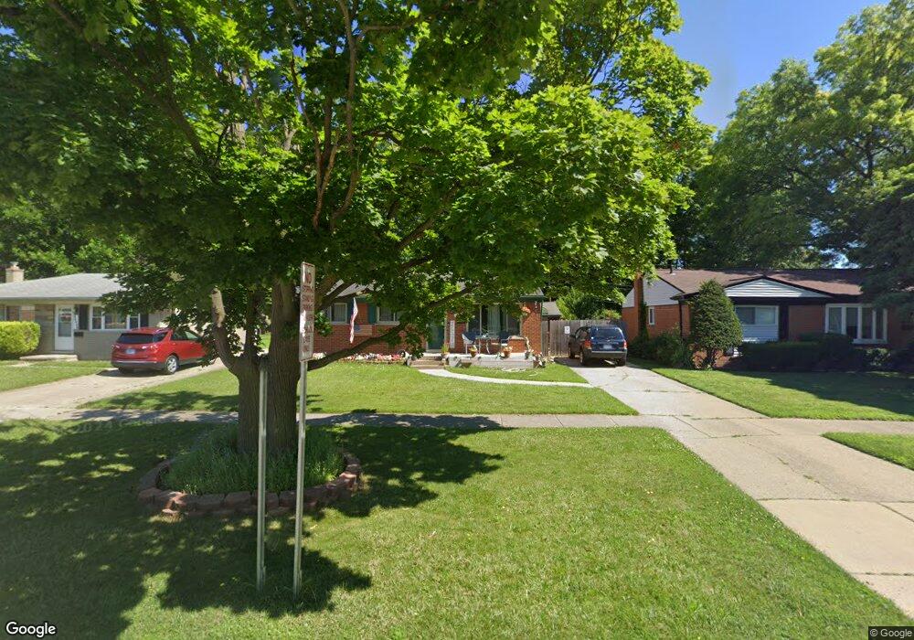
33422 Avondale St Unit Bldg-Unit Westland, MI 48186
Estimated Value: $196,000 - $218,000
--
Bed
2
Baths
990
Sq Ft
$213/Sq Ft
Est. Value
About This Home
This home is located at 33422 Avondale St Unit Bldg-Unit, Westland, MI 48186 and is currently estimated at $210,677, approximately $212 per square foot. 33422 Avondale St Unit Bldg-Unit is a home located in Wayne County with nearby schools including Alexander Hamilton Elementary School, Marshall Upper Elementary School, and John Glenn High School.
Ownership History
Date
Name
Owned For
Owner Type
Purchase Details
Closed on
Aug 17, 2018
Sold by
Weaver Nancy M
Bought by
Booth Randy and Booth Debra
Current Estimated Value
Purchase Details
Closed on
Jan 24, 2003
Sold by
Vandenbergh Andrea and Vandenbergh L A
Bought by
Zuccaro Nancy M
Purchase Details
Closed on
Dec 3, 1997
Sold by
Sand Sandra J Krawczyk
Bought by
Bergh Andrea
Create a Home Valuation Report for This Property
The Home Valuation Report is an in-depth analysis detailing your home's value as well as a comparison with similar homes in the area
Home Values in the Area
Average Home Value in this Area
Purchase History
| Date | Buyer | Sale Price | Title Company |
|---|---|---|---|
| Booth Randy | $150,000 | None Available | |
| Zuccaro Nancy M | $134,000 | Multiple | |
| Bergh Andrea | $95,900 | -- |
Source: Public Records
Tax History Compared to Growth
Tax History
| Year | Tax Paid | Tax Assessment Tax Assessment Total Assessment is a certain percentage of the fair market value that is determined by local assessors to be the total taxable value of land and additions on the property. | Land | Improvement |
|---|---|---|---|---|
| 2025 | $2,066 | $74,600 | $0 | $0 |
| 2024 | $2,066 | $73,800 | $0 | $0 |
| 2023 | $2,390 | $66,200 | $0 | $0 |
| 2022 | $2,238 | $59,300 | $0 | $0 |
| 2021 | $3,388 | $54,800 | $0 | $0 |
| 2020 | $3,618 | $48,500 | $0 | $0 |
| 2019 | $2,600 | $42,500 | $0 | $0 |
| 2018 | $1,191 | $39,100 | $0 | $0 |
| 2017 | $489 | $37,400 | $0 | $0 |
| 2016 | $1,484 | $33,700 | $0 | $0 |
| 2015 | $2,949 | $29,490 | $0 | $0 |
| 2013 | $2,948 | $30,630 | $0 | $0 |
| 2012 | $1,464 | $31,000 | $0 | $0 |
Source: Public Records
Map
Nearby Homes
- 1163 Denice St
- 754 Alvin St
- 32732 Glen St
- 0000 Barrington Ave
- 711 S Hawthorne St
- 34114 Avondale St
- 32508 Avondale St
- 32411 Grandview Ave
- 183 Daniel Ave Unit 6
- 00000 Cherry Hill Rd
- 535 S Hubbard St
- 451 Darwin St
- 33532 Leona St
- 366 S Wildwood St
- 34553 Hazelwood St
- 1631 Ackley Ave
- 32154 Melton St
- 32111 Birchwood Ave
- 2075 Alanson St
- 232 S Wildwood St
- 33422 Avondale St
- 33434 Avondale St
- 33406 Avondale St
- 33446 Avondale St
- 00 Avondale Ave
- 33470 Avondale St
- 980 Easley Dr
- 964 Easley Dr Unit Bldg-Unit
- 964 Easley Dr
- 950 Easley Dr
- 886 Alvin St
- 874 Alvin St
- 33482 Avondale St
- 33443 Unicorn Ct
- 33466 Unicorn Ct
- 33485 Unicorn Ct
- 33494 Avondale St
- 1016 Easley Dr
- 33520 Avondale St
- 33458 Avondale St