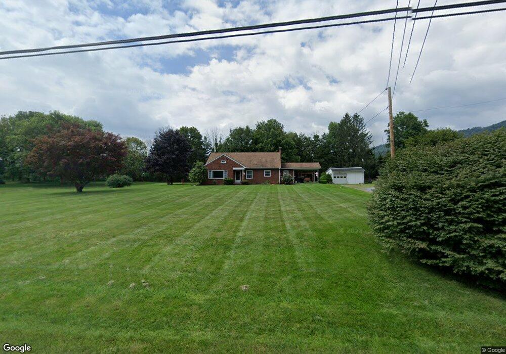
3343 State Route 72 Jonestown, PA 17038
Estimated Value: $289,000 - $492,000
2
Beds
1
Bath
2,253
Sq Ft
$167/Sq Ft
Est. Value
About This Home
This home is located at 3343 State Route 72, Jonestown, PA 17038 and is currently estimated at $376,281, approximately $167 per square foot. 3343 State Route 72 is a home located in Lebanon County with nearby schools including Northern Lebanon Senior High School, Blue Mountain Christian School, and Blue Mountain Christian Day School.
Ownership History
Date
Name
Owned For
Owner Type
Purchase Details
Closed on
Jun 25, 2014
Sold by
Seaman Alex J and Seaman Christine M
Bought by
Seaman Alex J
Current Estimated Value
Home Financials for this Owner
Home Financials are based on the most recent Mortgage that was taken out on this home.
Original Mortgage
$137,000
Outstanding Balance
$104,470
Interest Rate
4.19%
Mortgage Type
New Conventional
Estimated Equity
$271,811
Purchase Details
Closed on
May 31, 2011
Sold by
Mauser Jack T and Mauser Clarence J
Bought by
Seaman Alex J and Seaman Christine M
Home Financials for this Owner
Home Financials are based on the most recent Mortgage that was taken out on this home.
Original Mortgage
$128,000
Interest Rate
4.85%
Mortgage Type
New Conventional
Create a Home Valuation Report for This Property
The Home Valuation Report is an in-depth analysis detailing your home's value as well as a comparison with similar homes in the area
Home Values in the Area
Average Home Value in this Area
Purchase History
| Date | Buyer | Sale Price | Title Company |
|---|---|---|---|
| Seaman Alex J | -- | None Available | |
| Seaman Alex J | $160,000 | None Available |
Source: Public Records
Mortgage History
| Date | Status | Borrower | Loan Amount |
|---|---|---|---|
| Open | Seaman Alex J | $137,000 | |
| Closed | Seaman Alex J | $128,000 |
Source: Public Records
Tax History Compared to Growth
Tax History
| Year | Tax Paid | Tax Assessment Tax Assessment Total Assessment is a certain percentage of the fair market value that is determined by local assessors to be the total taxable value of land and additions on the property. | Land | Improvement |
|---|---|---|---|---|
| 2025 | $3,866 | $176,000 | $68,400 | $107,600 |
| 2024 | $3,417 | $176,000 | $68,400 | $107,600 |
| 2023 | $3,417 | $176,000 | $68,400 | $107,600 |
| 2022 | $3,306 | $176,000 | $68,400 | $107,600 |
| 2021 | $3,106 | $176,000 | $68,400 | $107,600 |
| 2020 | $3,045 | $176,000 | $68,400 | $107,600 |
| 2019 | $2,998 | $176,000 | $68,400 | $107,600 |
| 2018 | $2,928 | $176,000 | $68,400 | $107,600 |
| 2017 | $620 | $176,000 | $68,400 | $107,600 |
| 2016 | $2,841 | $176,000 | $68,400 | $107,600 |
| 2015 | -- | $176,000 | $68,400 | $107,600 |
| 2014 | -- | $176,000 | $68,400 | $107,600 |
Source: Public Records
Map
Nearby Homes
- 3204 State Route 72
- 11 Wolfe Dr
- 230 Monroe Valley Dr
- 0 Darkes Rd Unit PALN2019172
- 107 Moonshine Rd
- 2963 Pennsylvania 72
- 0 Fisher Ave
- 60 Bordnersville Rd
- 1120 Suedberg Rd
- Lot #49 Ss Shepherd St
- 507 Shepherd St
- 26 Village Dr
- 29 Shirk Dr
- 115 N Center St
- 2303 Quarry Rd
- 2255 Quarry Rd
- 2860 22 Us Highway 22 and 3
- 2301 Quarry Rd
- 22 Wildflower Cir
- 472 S Lancaster St Unit 8
- 3347 State Route 72
- 3340 State Route 72
- 3321 State Route 72
- 3355 State Route 72
- 3361 State Route 72
- 15 Clear View Ln
- 191 Fort Swatara Rd
- 203 Fort Swatara Rd
- 3365 State Route 72
- 3299 State Route 72
- NS Fort Swatara Rd
- 234 Ns Fort Swatara Rd
- NS Swatara Rd
- 195 Fort Swatara Rd
- 3377 State Route 72
- 3377 72 State Route 72
- ES State Route 72
- 63 Monroe Valley Dr
- 3275 State Route 72
- 157 Old State Rd