3345 Nc 39 Hwy N Louisburg, NC 27549
Estimated Value: $2,032,000 - $2,039,195
5
Beds
5
Baths
5,257
Sq Ft
$387/Sq Ft
Est. Value
About This Home
This home is located at 3345 Nc 39 Hwy N, Louisburg, NC 27549 and is currently estimated at $2,035,598, approximately $387 per square foot. 3345 Nc 39 Hwy N is a home with nearby schools including Louisburg Elementary School, Terrell Lane Middle School, and Louisburg High School.
Ownership History
Date
Name
Owned For
Owner Type
Purchase Details
Closed on
May 28, 2024
Sold by
Kuusinen Alden Tapani Kenneth and Kuusinen Jessica
Bought by
Kuusinen Alden Tapani Kenne and Kuusinen Jessica Ann
Current Estimated Value
Purchase Details
Closed on
Mar 19, 2019
Sold by
Myron Melamed Llc
Bought by
Kuusinen Alden Tapani Kenneth and Kuusinen Jessica Ann
Home Financials for this Owner
Home Financials are based on the most recent Mortgage that was taken out on this home.
Original Mortgage
$141,750
Interest Rate
4.4%
Mortgage Type
Future Advance Clause Open End Mortgage
Purchase Details
Closed on
Dec 27, 2007
Sold by
Wilson Thomas C and Wilson Gaylen M
Bought by
Myron Melamed Llc
Create a Home Valuation Report for This Property
The Home Valuation Report is an in-depth analysis detailing your home's value as well as a comparison with similar homes in the area
Home Values in the Area
Average Home Value in this Area
Purchase History
| Date | Buyer | Sale Price | Title Company |
|---|---|---|---|
| Kuusinen Alden Tapani Kenne | -- | None Listed On Document | |
| Kuusinen Alden Tapani Kenneth | $212,000 | None Available | |
| Myron Melamed Llc | $580,000 | None Available |
Source: Public Records
Mortgage History
| Date | Status | Borrower | Loan Amount |
|---|---|---|---|
| Previous Owner | Kuusinen Alden Tapani Kenneth | $141,750 |
Source: Public Records
Tax History Compared to Growth
Tax History
| Year | Tax Paid | Tax Assessment Tax Assessment Total Assessment is a certain percentage of the fair market value that is determined by local assessors to be the total taxable value of land and additions on the property. | Land | Improvement |
|---|---|---|---|---|
| 2025 | $774 | $593,420 | $559,550 | $33,870 |
| 2024 | $5,914 | $1,423,500 | $639,980 | $783,520 |
| 2023 | $6,424 | $877,210 | $259,760 | $617,450 |
| 2022 | $1,656 | $349,370 | $259,760 | $89,610 |
| 2021 | $379 | $224,150 | $217,790 | $6,360 |
| 2020 | $377 | $184,420 | $184,420 | $0 |
| 2019 | $267 | $283,130 | $283,130 | $0 |
| 2018 | $267 | $283,130 | $283,130 | $0 |
| 2017 | $370 | $224,870 | $224,870 | $0 |
| 2016 | $383 | $224,870 | $224,870 | $0 |
| 2015 | $381 | $224,870 | $224,870 | $0 |
| 2014 | $361 | $224,870 | $224,870 | $0 |
Source: Public Records
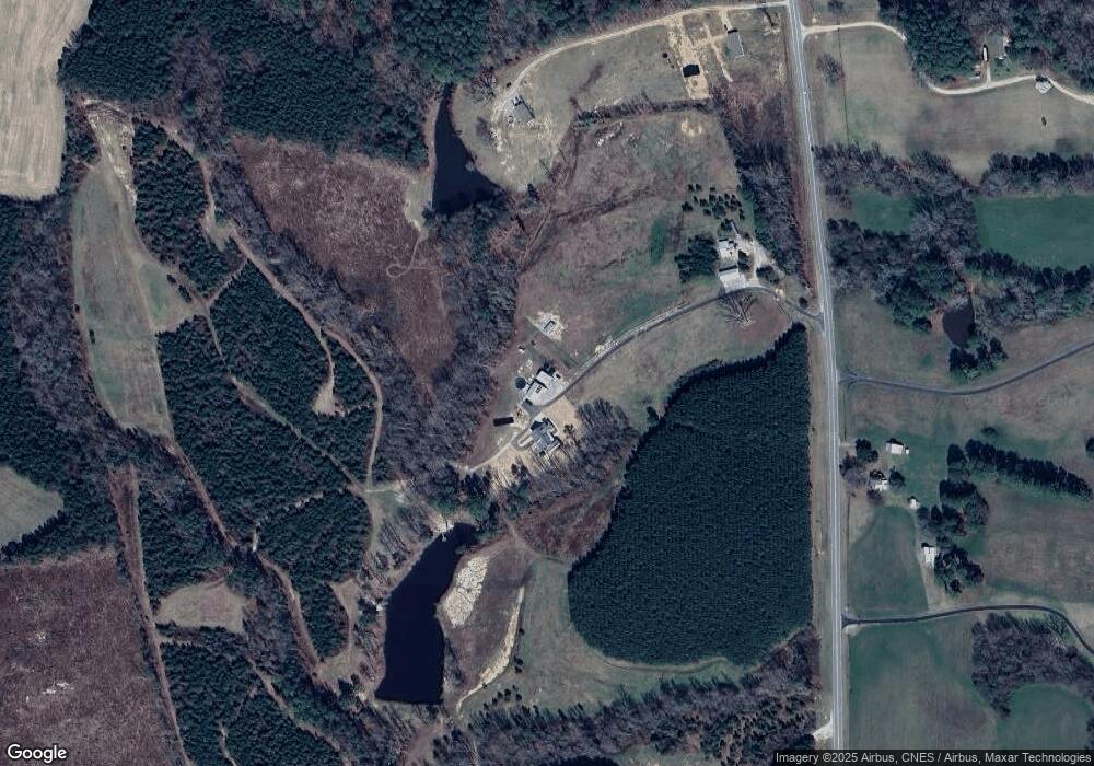
Map
Nearby Homes
- 0 Beasley Rd Unit 10130664
- 0 Breedlove Rd Unit 10076336
- 642 Breedlove Rd
- 4224 Us 401 Hwy N
- 641 Rocky Ford Rd
- 35 Jonesville Ln
- 0 Zinnia Ct Unit 10129898
- 307 Wilson-Fuller Rd
- 76 Sutton Rd
- 0 Sutton Rd
- 70 Acres Sutton Rd
- 1302 Rocky Ford Rd
- 0 Krafft Corner Unit 10130210
- 376 T K Allen Rd
- 06 Tillery Dr
- 08 Tillery Dr
- 615 Woodland Trail
- 11 Tillery Dr
- 09 Tillery Dr
- 592 Perdues Rd
- 1136 Deer Trail
- TBD Nc 39 Hwy
- 3316 Nc 39 Hwy N
- 3443 Nc 39 Hwy N
- 3443 Nc 39 Hwy N
- TBD2 Nc 39 Hwy
- 3253 Nc 39 Hwy N
- 3473 Nc 39 Hwy N
- 3428 Nc 39 Hwy N
- 3511 Nc 39 Hwy N
- 3160 Nc 39 Hwy N
- 3160 Nc 39 Hwy N
- 3160 Nc 39 Hwy N
- 3145 Nc 39 Hwy N
- 3458 Nc 39 Hwy N
- 3328 Us 401 Hwy S
- 3500 Nc 39 Hwy N
- 3513 Nc 39 Hwy N
- 3490 Nc 39 Hwy N
- 3123 Nc 39 Hwy N