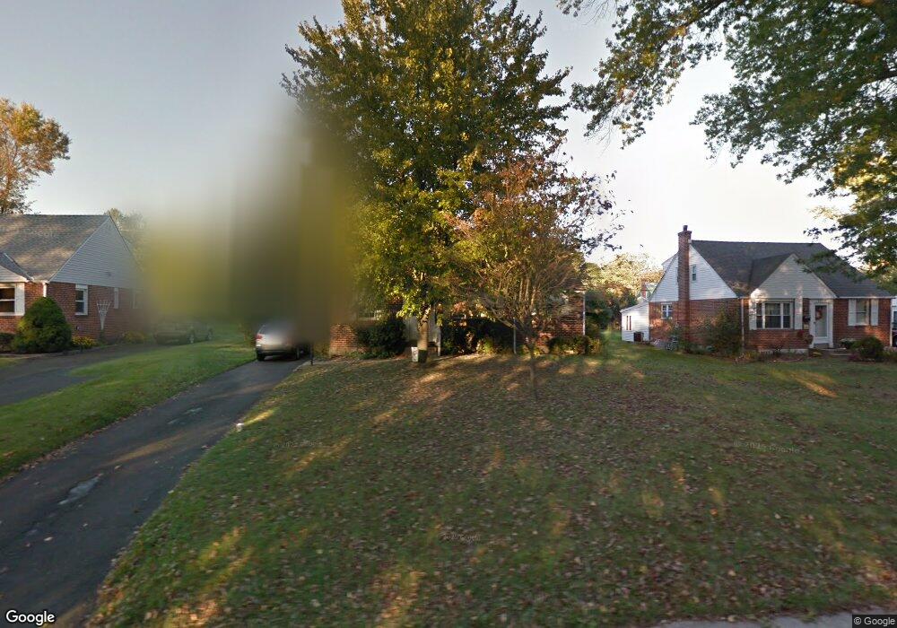
3345 W Mill Rd Hatboro, PA 19040
Estimated Value: $454,000 - $492,000
3
Beds
2
Baths
1,995
Sq Ft
$239/Sq Ft
Est. Value
About This Home
This home is located at 3345 W Mill Rd, Hatboro, PA 19040 and is currently estimated at $476,739, approximately $238 per square foot. 3345 W Mill Rd is a home located in Montgomery County with nearby schools including Upper Moreland Intermediate School, Upper Moreland Primary School, and Upper Moreland Middle School.
Ownership History
Date
Name
Owned For
Owner Type
Purchase Details
Closed on
Jun 2, 2010
Sold by
Heesen Vincent Gerard and Heesen Patricia W
Bought by
Griffin Linsey and Griffin Kevin
Current Estimated Value
Home Financials for this Owner
Home Financials are based on the most recent Mortgage that was taken out on this home.
Original Mortgage
$5,000
Outstanding Balance
$3,361
Interest Rate
5.03%
Estimated Equity
$473,378
Create a Home Valuation Report for This Property
The Home Valuation Report is an in-depth analysis detailing your home's value as well as a comparison with similar homes in the area
Home Values in the Area
Average Home Value in this Area
Purchase History
| Date | Buyer | Sale Price | Title Company |
|---|---|---|---|
| Griffin Linsey | $245,000 | None Available |
Source: Public Records
Mortgage History
| Date | Status | Borrower | Loan Amount |
|---|---|---|---|
| Open | Griffin Linsey | $5,000 | |
| Open | Griffin Linsey | $241,744 |
Source: Public Records
Tax History
| Year | Tax Paid | Tax Assessment Tax Assessment Total Assessment is a certain percentage of the fair market value that is determined by local assessors to be the total taxable value of land and additions on the property. | Land | Improvement |
|---|---|---|---|---|
| 2025 | $6,550 | $137,800 | $44,280 | $93,520 |
| 2024 | $6,550 | $137,800 | $44,280 | $93,520 |
| 2023 | $6,278 | $137,800 | $44,280 | $93,520 |
| 2022 | $5,904 | $137,800 | $44,280 | $93,520 |
| 2021 | $5,825 | $137,800 | $44,280 | $93,520 |
| 2020 | $5,632 | $137,800 | $44,280 | $93,520 |
| 2019 | $5,509 | $137,800 | $44,280 | $93,520 |
Source: Public Records
Map
Nearby Homes
- 69 Crooked Billet Rd
- 142 Greenbelt Dr
- 201 Castello Ave
- 42 Russell Rd
- 604 Fairhill St
- 45 Fulmor Ave
- 134 Spring Ave
- 2605 Horsham Rd
- 12 Manchester Dr
- 208 Duffield St
- 2625 Horsham Rd
- 251 Ellis Rd
- 14 Williams Ln
- 325 S Warminster Rd Unit A-8 BLDG 1
- 515 N York Rd Unit 1C
- 165 W Moreland Ave
- 322 W Moreland Ave
- 501 W Moreland Rd
- 1948 Lukens Ave
- 258 Garden Ave