3347 Lovvorn Rd Carrollton, GA 30117
Estimated Value: $475,000 - $803,077
4
Beds
4
Baths
3,217
Sq Ft
$191/Sq Ft
Est. Value
About This Home
This home is located at 3347 Lovvorn Rd, Carrollton, GA 30117 and is currently estimated at $613,692, approximately $190 per square foot. 3347 Lovvorn Rd is a home located in Carroll County with nearby schools including Bowdon Elementary School, Bowdon Middle School, and Bowdon High School.
Ownership History
Date
Name
Owned For
Owner Type
Purchase Details
Closed on
May 19, 2008
Sold by
Not Provided
Bought by
West Keith and West Melissa
Current Estimated Value
Purchase Details
Closed on
Jan 15, 2004
Sold by
Branch Banking & Trust
Bought by
West Keith and West Melissa
Purchase Details
Closed on
Apr 8, 1994
Bought by
West Keith and West Melissa
Purchase Details
Closed on
Aug 16, 1990
Bought by
Lovvorn Robert
Create a Home Valuation Report for This Property
The Home Valuation Report is an in-depth analysis detailing your home's value as well as a comparison with similar homes in the area
Home Values in the Area
Average Home Value in this Area
Purchase History
| Date | Buyer | Sale Price | Title Company |
|---|---|---|---|
| West Keith | -- | -- | |
| West Keith | -- | -- | |
| West Keith | $75,000 | -- | |
| Lovvorn Robert | -- | -- |
Source: Public Records
Tax History Compared to Growth
Tax History
| Year | Tax Paid | Tax Assessment Tax Assessment Total Assessment is a certain percentage of the fair market value that is determined by local assessors to be the total taxable value of land and additions on the property. | Land | Improvement |
|---|---|---|---|---|
| 2024 | $137 | $376,752 | $146,004 | $230,748 |
| 2023 | $137 | $376,753 | $146,005 | $230,748 |
| 2022 | $5,977 | $281,699 | $96,405 | $185,294 |
| 2021 | $5,327 | $237,392 | $77,125 | $160,267 |
| 2020 | $4,868 | $211,671 | $70,114 | $141,557 |
| 2019 | $4,694 | $200,238 | $70,114 | $130,124 |
| 2018 | $4,479 | $185,218 | $70,114 | $115,104 |
| 2017 | $4,491 | $185,218 | $70,114 | $115,104 |
| 2016 | $4,493 | $185,218 | $70,114 | $115,104 |
| 2015 | $3,972 | $146,049 | $52,236 | $93,814 |
| 2014 | $3,989 | $146,050 | $52,236 | $93,814 |
Source: Public Records
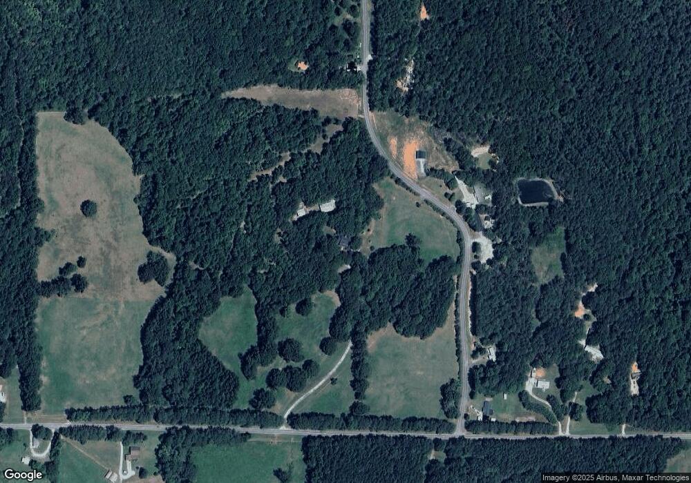
Map
Nearby Homes
- 0 Wynn Rd
- 1175 Burwell Mount Zion Rd
- 33 & 67 Lambert Ln
- 3699 Lovvorn Rd
- 3707 Lovvorn Rd
- 3715 Lovvorn Rd
- 370 Simms Rd
- 1852 Burwell Rd
- 778 Harrison Rd
- 85 Eureka Church Rd Unit 152
- 245 Delia Peace Rd
- 96 Old Bowdon Rd
- 92 Old Bowdon Rd
- 2994 Mount Zion Rd
- 2994 Mount Zion Rd Unit 1
- 2994 Mount Zion Rd Unit 3
- 5119 W Highway 166
- 5147 W Hwy 166
- 37 Cedar Dr
- 99 Evergreen Rd
- 196 Evergreen Rd
- 35 Evergreen Rd
- 0 Evergreen Rd Unit 7173905
- 0 Evergreen Rd Unit 8340094
- 0 Evergreen Rd
- 234 Evergreen Rd
- 72 Woods Rd
- 305 Evergreen Rd
- 3470 Lovvorn Rd
- 3531 Lovvorn Rd
- 3535 Lovvorn Rd
- 78 Woods Rd
- 00 Woods Rd
- 3201 Lovvorn Rd
- 642 Bethel Church Rd
- 724 Bethel Church Rd
- 684 Bethel Church Rd
- 40 Woods Rd
- 11 Woods Rd