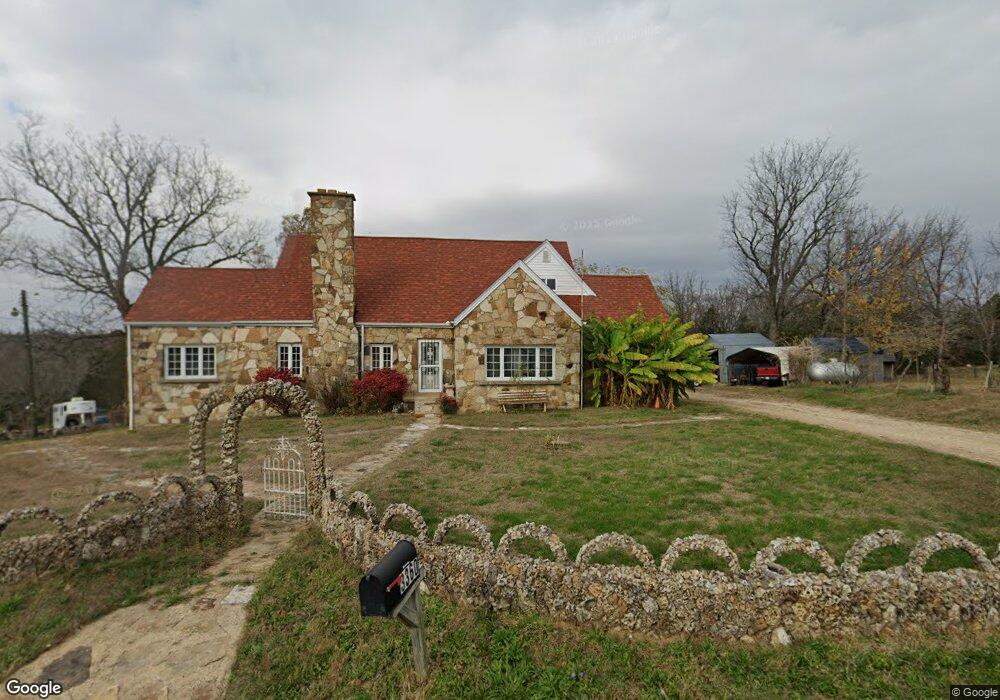
3349 Armbruster Rd de Soto, MO 63020
Estimated Value: $226,000 - $289,000
Studio
--
Bath
1,288
Sq Ft
$206/Sq Ft
Est. Value
About This Home
This home is located at 3349 Armbruster Rd, de Soto, MO 63020 and is currently estimated at $265,200, approximately $205 per square foot. 3349 Armbruster Rd is a home located in Jefferson County with nearby schools including De Soto Senior High School.
Ownership History
Date
Name
Owned For
Owner Type
Purchase Details
Closed on
Aug 20, 2021
Sold by
Perret Teresa A
Bought by
Auer Michael and Auer Patricia
Current Estimated Value
Purchase Details
Closed on
Aug 24, 2000
Sold by
Trunk Harold W & Jeannette Trustees
Bought by
Perret Teresa A
Home Financials for this Owner
Home Financials are based on the most recent Mortgage that was taken out on this home.
Original Mortgage
$52,000
Interest Rate
8.21%
Mortgage Type
Purchase Money Mortgage
Create a Home Valuation Report for This Property
The Home Valuation Report is an in-depth analysis detailing your home's value as well as a comparison with similar homes in the area
Purchase History
| Date | Buyer | Sale Price | Title Company |
|---|---|---|---|
| Auer Michael | -- | Continental Title | |
| Perret Teresa A | -- | -- |
Source: Public Records
Mortgage History
| Date | Status | Borrower | Loan Amount |
|---|---|---|---|
| Previous Owner | Perret Teresa A | $52,000 |
Source: Public Records
Tax History
| Year | Tax Paid | Tax Assessment Tax Assessment Total Assessment is a certain percentage of the fair market value that is determined by local assessors to be the total taxable value of land and additions on the property. | Land | Improvement |
|---|---|---|---|---|
| 2025 | $1,925 | $30,000 | $5,600 | $24,400 |
| 2024 | $1,925 | $27,800 | $5,600 | $22,200 |
| 2023 | $1,925 | $27,800 | $5,600 | $22,200 |
| 2022 | $1,919 | $27,800 | $5,600 | $22,200 |
| 2021 | $1,917 | $28,000 | $5,800 | $22,200 |
| 2020 | $1,777 | $25,000 | $4,900 | $20,100 |
| 2019 | $1,775 | $25,000 | $4,900 | $20,100 |
| 2018 | $1,775 | $25,000 | $4,900 | $20,100 |
| 2017 | $1,684 | $25,000 | $4,900 | $20,100 |
| 2016 | $1,577 | $23,000 | $4,900 | $18,100 |
Source: Public Records
Map
Nearby Homes
- 4155 Highway 67
- 3136 Fountain City Rd
- 12821 Lone Oak Ln
- 709 Eberhardt Ln
- 3055 Thompson Rd
- 3589 State Route 110
- 2942 Marathon Dr
- 2501 Parthenon Dr
- 2812 Parthenon Dr
- 2712 Creon Ct
- 3980 Wilkinson Rd
- 328 Sirius Rd
- 5224 Hobby Farms Dr
- 324 Sirius Rd
- 5232 Hobby Farms Dr
- 322 Kronos Dr
- 0 Zeus Place
- 115 Summerset Dr
- 114 Summerset Dr
- 3948 Greenhouse Rd
- 3348 Armbruster Rd
- 3354 Armbruster Rd
- 3361 Armbruster Rd
- 3360 Armbruster Rd
- 3372 Armbruster Rd
- 3319 Armbruster Rd
- 3366 Armbruster Rd
- 3383 Armbruster Rd
- 12901 Rodal Acres
- 0 Armbruster Rd Unit 22000914
- 0LOT 3 Armbruster Rd
- 0LOT 2 Armbruster Rd
- 0LOT 1 Armbruster Rd
- 0 Armbruster Rd Unit 19022292
- 3387 Armbruster Rd
- 12907 Rodal Acres
- 3399 Armbruster Rd
- 12937 Rodal Acres
- 12919 Rodal Acres
- 0 Lot 2 Platinum Hill Estates Unit 22041612
Your Personal Tour Guide
Ask me questions while you tour the home.