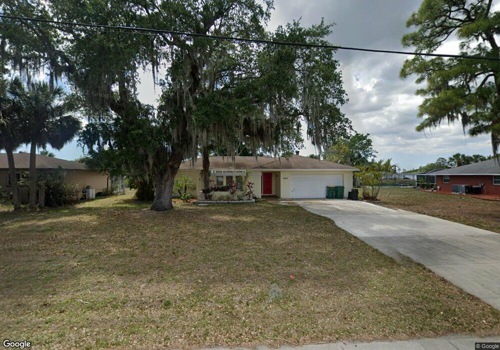
3349 Conway Blvd Port Charlotte, FL 33952
Estimated Value: $230,000 - $276,000
--
Bed
--
Bath
1,309
Sq Ft
$188/Sq Ft
Est. Value
About This Home
This home is located at 3349 Conway Blvd, Port Charlotte, FL 33952 and is currently estimated at $246,477, approximately $188 per square foot. 3349 Conway Blvd is a home located in Charlotte County with nearby schools including Peace River Elementary School, Port Charlotte Middle School, and Charlotte High School.
Ownership History
Date
Name
Owned For
Owner Type
Purchase Details
Closed on
Mar 23, 2015
Sold by
Kellett Virginia
Bought by
Charles Angela and Charles Jeffrey
Current Estimated Value
Purchase Details
Closed on
Nov 4, 2005
Sold by
Kellett Richard D and Kellett Virginia L
Bought by
Kellett Richard D and Kellett Virginia L
Home Financials for this Owner
Home Financials are based on the most recent Mortgage that was taken out on this home.
Original Mortgage
$30,000
Interest Rate
5.9%
Mortgage Type
New Conventional
Create a Home Valuation Report for This Property
The Home Valuation Report is an in-depth analysis detailing your home's value as well as a comparison with similar homes in the area
Home Values in the Area
Average Home Value in this Area
Purchase History
| Date | Buyer | Sale Price | Title Company |
|---|---|---|---|
| Charles Angela | -- | None Available | |
| Kellett Richard D | -- | -- |
Source: Public Records
Mortgage History
| Date | Status | Borrower | Loan Amount |
|---|---|---|---|
| Previous Owner | Kellett Richard D | $30,000 |
Source: Public Records
Tax History Compared to Growth
Tax History
| Year | Tax Paid | Tax Assessment Tax Assessment Total Assessment is a certain percentage of the fair market value that is determined by local assessors to be the total taxable value of land and additions on the property. | Land | Improvement |
|---|---|---|---|---|
| 2023 | $2,654 | $92,053 | $0 | $0 |
| 2022 | $3,571 | $200,970 | $22,440 | $178,530 |
| 2021 | $3,200 | $152,688 | $11,220 | $141,468 |
| 2020 | $2,996 | $141,280 | $10,200 | $131,080 |
| 2019 | $2,917 | $138,610 | $10,200 | $128,410 |
| 2018 | $2,695 | $134,627 | $9,112 | $125,515 |
| 2017 | $2,620 | $131,878 | $7,616 | $124,262 |
| 2016 | $2,426 | $114,384 | $0 | $0 |
| 2015 | $1,121 | $76,909 | $0 | $0 |
| 2014 | -- | $76,299 | $0 | $0 |
Source: Public Records
Map
Nearby Homes
- 3416 Easy St
- 22065 Malone Ave
- 3460 Normandy Dr
- 3469 Normandy Dr
- 3436 Lucerne Terrace
- 3421 Maple Terrace
- 3421 Normandy Dr
- 3246 Oswego St
- 3404 Depew Ave
- 22158 Riverhead Ave
- 3255 Geneva St
- 3420 Croton Terrace
- 3585 Brooklyn Ave
- 3782 Tamiami Trail Unit B
- 3859&3871 Tamiami Trail
- 205 Martin Dr NE
- 22267 Elmira Blvd
- 3413 Westlund Terrace
- 1492 Birchcrest Blvd
- 108 Martin Dr NE
- 3357 Conway Blvd
- 3341 Conway Blvd
- 3348 Conway Blvd
- 3373 Conway Blvd
- 3325 Conway Blvd
- 3340 Conway Blvd
- 22088 Rochester Ave
- 22080 Bronxville Ave
- 3408 Easy St
- 3424 Easy St
- 3400 Easy St
- 22081 Bronxville Ave
- 3317 Conway Blvd
- 22089 Rochester Ave
- 22088 Bronxville Ave
- 3392 Easy St
- 3440 Easy St
- 22080 Rochester Ave
- 22089 Bronxville Ave
- 22074 Malone Ave