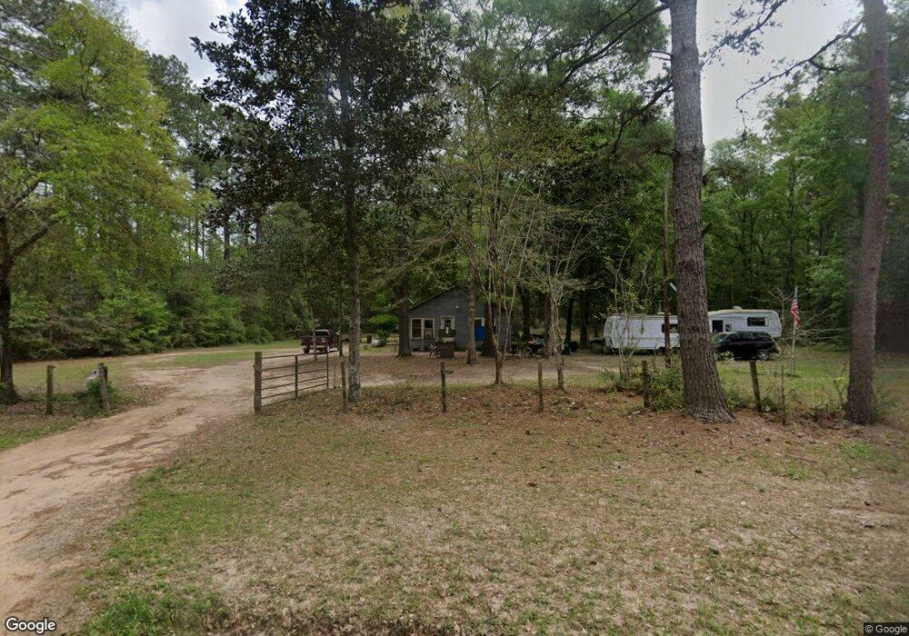
3349 Morrell Rd Cleveland, TX 77328
Estimated Value: $173,618 - $262,000
--
Bed
--
Bath
1,064
Sq Ft
$211/Sq Ft
Est. Value
About This Home
This home is located at 3349 Morrell Rd, Cleveland, TX 77328 and is currently estimated at $224,405, approximately $210 per square foot. 3349 Morrell Rd is a home with nearby schools including Splendora High School.
Ownership History
Date
Name
Owned For
Owner Type
Purchase Details
Closed on
Mar 29, 2023
Sold by
Armstrong Robert Eugene
Bought by
Derr Robie J and Derr William Wayne
Current Estimated Value
Purchase Details
Closed on
Jun 3, 2011
Sold by
Cranney Richard A and Cranney Nancy A
Bought by
Armstrong Robert E and Armstrong Robie
Home Financials for this Owner
Home Financials are based on the most recent Mortgage that was taken out on this home.
Original Mortgage
$60,000
Interest Rate
4.85%
Mortgage Type
Seller Take Back
Purchase Details
Closed on
Mar 29, 2011
Sold by
Biggs Gerald W and Biggs Margie V
Bought by
Cranney Richard A and Cranney Nancy A
Create a Home Valuation Report for This Property
The Home Valuation Report is an in-depth analysis detailing your home's value as well as a comparison with similar homes in the area
Home Values in the Area
Average Home Value in this Area
Purchase History
| Date | Buyer | Sale Price | Title Company |
|---|---|---|---|
| Derr Robie J | -- | -- | |
| Armstrong Robert E | -- | None Available | |
| Cranney Richard A | -- | None Available | |
| Armstrong Robert E | -- | -- |
Source: Public Records
Mortgage History
| Date | Status | Borrower | Loan Amount |
|---|---|---|---|
| Previous Owner | Armstrong Robert E | $60,000 |
Source: Public Records
Tax History Compared to Growth
Tax History
| Year | Tax Paid | Tax Assessment Tax Assessment Total Assessment is a certain percentage of the fair market value that is determined by local assessors to be the total taxable value of land and additions on the property. | Land | Improvement |
|---|---|---|---|---|
| 2025 | $2,588 | $148,406 | $103,000 | $45,406 |
| 2024 | $409 | $136,829 | $103,000 | $33,829 |
| 2023 | $409 | $76,760 | $103,000 | $33,150 |
| 2022 | $1,406 | $69,780 | $61,800 | $33,150 |
| 2021 | $1,318 | $63,440 | $51,500 | $23,850 |
| 2020 | $1,276 | $57,670 | $51,500 | $23,850 |
| 2019 | $1,224 | $52,430 | $38,730 | $18,670 |
| 2018 | $657 | $47,660 | $38,730 | $19,690 |
| 2017 | $1,014 | $43,330 | $38,730 | $19,690 |
| 2016 | $1,425 | $60,890 | $41,200 | $19,690 |
| 2015 | $742 | $35,810 | $15,450 | $20,360 |
| 2014 | $742 | $35,810 | $15,450 | $20,360 |
Source: Public Records
Map
Nearby Homes
- TBD Lisa Ln
- 21314 Highway 105
- 22380 Highway 105
- 3134 California Ave
- 2002 White Doe Ct
- 2020 White Buck Ct
- 22573 Morgan Cemetery Lot 4 Rd
- 22573 Morgan Cemetery Lot 1 Rd
- 2127 Bambi Ct
- 2080 White Doe Ct
- 1115 Greenbelt Dr
- 1784 Greenbelt Dr
- 0000 Denson Reed Rd
- TBD2 Humbird Dr
- 0 Hicks Rd Unit 98394092
- 1255 Lee Turner Rd
- 0 Pioneer Ln Unit 51673636
- 2401 W Geronimo Trail
- 1903 W Geronimo Trail
- 21490 Big Buck Dr
- TBD Morrell Rd
- 21651 Old Highway 105
- 21641 Old Highway 105
- 21619 Old Highway 105
- 5578 Morrell Rd
- 4799 Morrell Rd
- 6114 Daw Collins Rd
- 6534 Daw Collins Rd
- 21200 Security Cemetery Rd
- 21196 Security Cemetery Rd
- 6241 Daw Collins Rd
- 6247 Daw Collins Rd
- 6651 Daw Collins Rd
- 21211 Security Cemetery Rd
- 21263 Old Highway 105
- 6676 Daw Collins Rd
- 6676 Daw Collins Rd
- 21096 Security Cemetery Rd
- 0 Security Cemetery Rd
- 00 Peach Creek