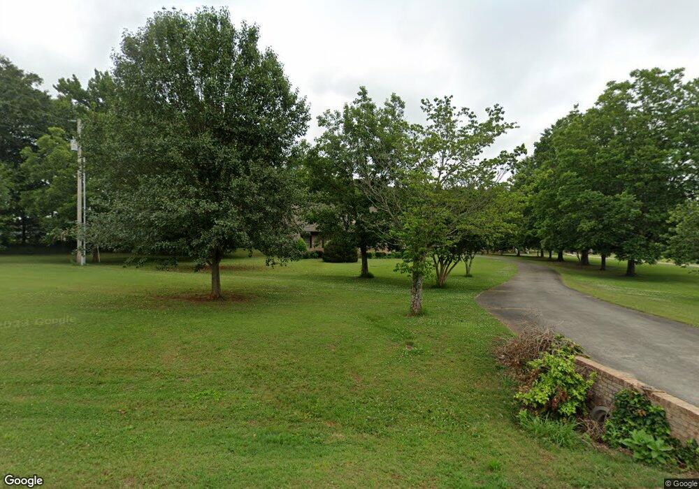
335 Dupree Dr Huntsville, AL 35806
Monrovia NeighborhoodEstimated Value: $533,000 - $616,000
--
Bed
--
Bath
3,727
Sq Ft
$153/Sq Ft
Est. Value
About This Home
This home is located at 335 Dupree Dr, Huntsville, AL 35806 and is currently estimated at $569,080, approximately $152 per square foot. 335 Dupree Dr is a home with nearby schools including Legacy Elementary School, Monrovia Middle School, and Sparkman High School.
Ownership History
Date
Name
Owned For
Owner Type
Purchase Details
Closed on
Aug 15, 2014
Sold by
Mahafza Bassem R
Bought by
Mahafza Sherry R
Current Estimated Value
Purchase Details
Closed on
Jul 14, 2006
Sold by
Dupree Ron D and Dupree Shoshan R
Bought by
Mahafza Bassem R and Mahafza Sherry R
Home Financials for this Owner
Home Financials are based on the most recent Mortgage that was taken out on this home.
Original Mortgage
$260,000
Interest Rate
6.54%
Mortgage Type
Purchase Money Mortgage
Create a Home Valuation Report for This Property
The Home Valuation Report is an in-depth analysis detailing your home's value as well as a comparison with similar homes in the area
Home Values in the Area
Average Home Value in this Area
Purchase History
| Date | Buyer | Sale Price | Title Company |
|---|---|---|---|
| Mahafza Sherry R | $280,000 | None Available | |
| Mahafza Bassem R | -- | -- |
Source: Public Records
Mortgage History
| Date | Status | Borrower | Loan Amount |
|---|---|---|---|
| Closed | Mahafza Bassem R | $260,000 |
Source: Public Records
Tax History Compared to Growth
Tax History
| Year | Tax Paid | Tax Assessment Tax Assessment Total Assessment is a certain percentage of the fair market value that is determined by local assessors to be the total taxable value of land and additions on the property. | Land | Improvement |
|---|---|---|---|---|
| 2024 | $1,463 | $40,400 | $4,000 | $36,400 |
| 2023 | $1,463 | $39,080 | $4,000 | $35,080 |
| 2022 | $1,231 | $33,980 | $2,960 | $31,020 |
| 2021 | $1,152 | $31,800 | $2,960 | $28,840 |
| 2020 | $1,081 | $59,680 | $5,900 | $53,780 |
| 2019 | $2,072 | $57,260 | $5,900 | $51,360 |
| 2018 | $957 | $26,440 | $0 | $0 |
| 2017 | $1,915 | $52,880 | $0 | $0 |
| 2016 | $957 | $26,440 | $0 | $0 |
| 2015 | $957 | $26,440 | $0 | $0 |
| 2014 | $964 | $26,620 | $0 | $0 |
Source: Public Records
Map
Nearby Homes
- 109 Sarah Jane Dr
- 223 Wainscott Dr
- 195 Sarah Jane Dr
- 200 Sarah Jane Dr
- 108 Conifer Ct
- 150 Blue Spruce Dr
- 104 Raymon Cir
- 253 Pumprock Dr
- 1.4 acres Jeff Rd NW
- 10.4 acres Jeff Rd NW
- 124 Huston Ct
- 436 Mount Zion Rd
- 465 Jasmine Dr
- 482 Mount Zion Rd
- 114 Pettus Rd
- 1 ACRE EASEMENT Jeff Rd NW
- 2031 Blake Bottom Rd NW Unit 15
- 2031 Blake Bottom Rd NW
- 2031 Blake Bottom Rd NW Unit 2
- 124 Kinsale Dr
- 351 Dupree Dr
- 321 Dupree Dr
- 104 Zuba Dupree Ln
- 367 Dupree Dr
- 332 Dupree Dr
- 346 Dupree Dr
- 303 Dupree Dr
- 352 Dupree Dr
- 100 Zuba Dupree Ln
- 310 Dupree Dr
- 360 Dupree Dr
- 320 Dupree Dr
- 300 Dupree Dr
- 370 Dupree Dr
- 132 Erle Phillips Rd
- 130 Erle Phillips Rd
- 380 Dupree Dr
- 128 Erle Phillips Rd NW
- 126 Erle Phillips Rd NW
- 101 Summer Brook Ct