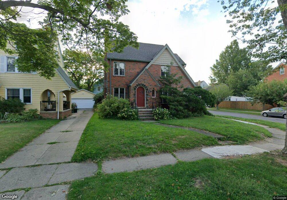
335 E 215th St Euclid, OH 44123
Estimated Value: $130,000 - $159,000
3
Beds
1
Bath
1,291
Sq Ft
$112/Sq Ft
Est. Value
About This Home
This home is located at 335 E 215th St, Euclid, OH 44123 and is currently estimated at $144,839, approximately $112 per square foot. 335 E 215th St is a home located in Cuyahoga County with nearby schools including Arbor Elementary School, Euclid Middle School, and Euclid High School.
Ownership History
Date
Name
Owned For
Owner Type
Purchase Details
Closed on
Mar 10, 1992
Sold by
Takac Richard M
Bought by
Civic John
Current Estimated Value
Purchase Details
Closed on
Oct 8, 1980
Sold by
Soeder Edna Mae
Bought by
Takac Richard M
Purchase Details
Closed on
Feb 27, 1978
Sold by
Soeder Andrew C and Soeder Edna M
Bought by
Soeder Edna Mae
Purchase Details
Closed on
Jan 1, 1975
Bought by
Soeder Andrew C and Soeder Edna M
Create a Home Valuation Report for This Property
The Home Valuation Report is an in-depth analysis detailing your home's value as well as a comparison with similar homes in the area
Home Values in the Area
Average Home Value in this Area
Purchase History
| Date | Buyer | Sale Price | Title Company |
|---|---|---|---|
| Civic John | $96,000 | -- | |
| Takac Richard M | $59,900 | -- | |
| Soeder Edna Mae | -- | -- | |
| Soeder Andrew C | -- | -- |
Source: Public Records
Tax History
| Year | Tax Paid | Tax Assessment Tax Assessment Total Assessment is a certain percentage of the fair market value that is determined by local assessors to be the total taxable value of land and additions on the property. | Land | Improvement |
|---|---|---|---|---|
| 2025 | $2,667 | $50,750 | $9,380 | $41,370 |
| 2024 | $2,848 | $50,750 | $9,380 | $41,370 |
| 2023 | $2,496 | $37,630 | $6,760 | $30,870 |
| 2022 | $3,180 | $37,630 | $6,760 | $30,870 |
| 2021 | $2,753 | $37,630 | $6,760 | $30,870 |
| 2020 | $2,731 | $34,860 | $6,270 | $28,600 |
| 2019 | $2,456 | $99,600 | $17,900 | $81,700 |
| 2018 | $2,863 | $34,860 | $6,270 | $28,600 |
| 2017 | $2,589 | $31,540 | $5,250 | $26,290 |
| 2016 | $3,531 | $31,540 | $5,250 | $26,290 |
| 2015 | $3,211 | $31,540 | $5,250 | $26,290 |
| 2014 | $3,211 | $31,540 | $5,250 | $26,290 |
Source: Public Records
Map
Nearby Homes
- 324 E 215th St
- 285 E 216th St
- 21051 S Lake Shore Blvd
- 21971 Crystal Ave
- 21670 Crystal Ave
- 273 E 208th St
- 422 Clearview Dr Unit J10
- 421 Kenwood Dr Unit G
- 336 E 222nd St
- 226 E 216th St
- 21000 Crystal Ave
- 442 Clearview Dr Unit U9
- 450 Kenwood Dr Unit D-12
- 20931 Priday Ave
- 461 Kenwood Dr Unit T3
- 22751 Fox Ave
- 21481 Ball Ave
- 20900 Priday Ave
- 144 E 208th St
- 521 Kenwood Dr Unit B-5
- 329 E 215th St
- 21531 Roberts Ave
- 325 E 215th St
- 345 E 215th St
- 21561 Roberts Ave
- 323 E 215th St
- 351 E 215th St
- 21520 Roberts Ave
- 321 E 215th St
- 338 E 215th St
- 330 E 215th St
- 344 E 215th St
- 21560 Roberts Ave
- 355 E 215th St
- 21611 Roberts Ave
- 348 E 215th St
- 21590 Kennison Ave
- 322 E 215th St
- 21600 Roberts Ave
- 21600 Kennison Ave
Your Personal Tour Guide
Ask me questions while you tour the home.