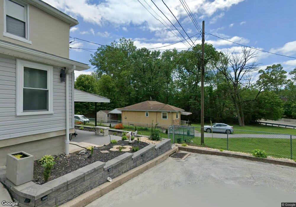
335 E Johnson Hwy Norristown, PA 19401
East Norriton Township NeighborhoodEstimated Value: $164,000 - $302,000
2
Beds
1
Bath
984
Sq Ft
$253/Sq Ft
Est. Value
About This Home
This home is located at 335 E Johnson Hwy, Norristown, PA 19401 and is currently estimated at $248,979, approximately $253 per square foot. 335 E Johnson Hwy is a home located in Montgomery County with nearby schools including Cole Manor Elementary School, Charles Blockson Middle School, and East Norriton Middle School.
Ownership History
Date
Name
Owned For
Owner Type
Purchase Details
Closed on
May 15, 2025
Sold by
Anna E Culbreath Revocable Living Trust and Culbreath Harry
Bought by
Tait Joe and Bell Robert C
Current Estimated Value
Purchase Details
Closed on
Mar 1, 2002
Sold by
Culbreath Anna
Bought by
The Anna E Culbreath Revocable Living Tr
Create a Home Valuation Report for This Property
The Home Valuation Report is an in-depth analysis detailing your home's value as well as a comparison with similar homes in the area
Home Values in the Area
Average Home Value in this Area
Purchase History
| Date | Buyer | Sale Price | Title Company |
|---|---|---|---|
| Tait Joe | -- | None Listed On Document | |
| The Anna E Culbreath Revocable Living Tr | -- | -- |
Source: Public Records
Tax History Compared to Growth
Tax History
| Year | Tax Paid | Tax Assessment Tax Assessment Total Assessment is a certain percentage of the fair market value that is determined by local assessors to be the total taxable value of land and additions on the property. | Land | Improvement |
|---|---|---|---|---|
| 2025 | $3,377 | $71,690 | $37,340 | $34,350 |
| 2024 | $3,377 | $71,690 | $37,340 | $34,350 |
| 2023 | $3,338 | $71,690 | $37,340 | $34,350 |
| 2022 | $3,315 | $71,690 | $37,340 | $34,350 |
| 2021 | $3,294 | $71,690 | $37,340 | $34,350 |
| 2020 | $3,192 | $71,690 | $37,340 | $34,350 |
| 2019 | $3,118 | $71,690 | $37,340 | $34,350 |
| 2018 | $3,118 | $71,690 | $37,340 | $34,350 |
| 2017 | $2,937 | $71,690 | $37,340 | $34,350 |
| 2016 | $2,908 | $71,690 | $37,340 | $34,350 |
| 2015 | $2,756 | $71,690 | $37,340 | $34,350 |
| 2014 | $2,756 | $71,690 | $37,340 | $34,350 |
Source: Public Records
Map
Nearby Homes
- 51 Zummo Way Unit CONDO
- 41 Zummo Way
- 37 Zummo Way
- 8 Zummo Way
- 4 Zummo Way
- 428 Green View Ct
- 1847 Arch St
- 1879 Harmony Ct Unit 72A
- 1831 Arch St Unit 9W
- 1829 Arch St Unit 10S
- 1827 Arch St Unit 11E
- 1825 Arch St Unit 12E
- 1819 Arch St Unit 15E
- 272 Harmony Ct Unit 78A
- 1817 Arch St Unit 16E
- 1815 Arch St Unit 17S
- 1813 Arch St Unit 18W
- 1850 Arbor Place Dr Unit 48E
- 1842 Arbor Place Dr Unit 44E
- 1883 Arbor Place Dr Unit 81C
- 000 Shamokin Ave
- 1 Connor St
- 320 Connor St
- 327 Bristol Ave
- 323 Bristol Ave
- 333 E Johnson Hwy
- 001 Shamokin Ave
- 319 Connor St
- 317 Bristol Ave
- 311 Connor St
- 325 E Johnson Hwy
- 2006 Rahway Ave
- 6 Connor St
- 2012 Rahway Ave
- 1910 Rahway Ave
- 327 E Johnson Hwy
- 430 E Johnson Hwy
- 2100 Rahway Ave
- 1906 Rahway Ave
- 0 Shamokin Ave