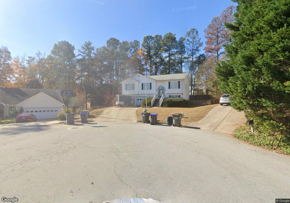
335 Foster Trace Dr Unit 2 Lawrenceville, GA 30043
Estimated Value: $357,000 - $403,000
4
Beds
3
Baths
1,371
Sq Ft
$273/Sq Ft
Est. Value
About This Home
This home is located at 335 Foster Trace Dr Unit 2, Lawrenceville, GA 30043 and is currently estimated at $374,496, approximately $273 per square foot. 335 Foster Trace Dr Unit 2 is a home located in Gwinnett County with nearby schools including Taylor Elementary School, Creekland Middle School, and Collins Hill High School.
Ownership History
Date
Name
Owned For
Owner Type
Purchase Details
Closed on
Jul 29, 1997
Sold by
Cons Wendwell
Bought by
Buchanan Shannon C and Buchanan Robert D
Current Estimated Value
Home Financials for this Owner
Home Financials are based on the most recent Mortgage that was taken out on this home.
Original Mortgage
$91,750
Outstanding Balance
$13,886
Interest Rate
7.65%
Mortgage Type
New Conventional
Estimated Equity
$360,610
Create a Home Valuation Report for This Property
The Home Valuation Report is an in-depth analysis detailing your home's value as well as a comparison with similar homes in the area
Home Values in the Area
Average Home Value in this Area
Purchase History
| Date | Buyer | Sale Price | Title Company |
|---|---|---|---|
| Buchanan Shannon C | $114,700 | -- |
Source: Public Records
Mortgage History
| Date | Status | Borrower | Loan Amount |
|---|---|---|---|
| Open | Buchanan Shannon C | $91,750 |
Source: Public Records
Tax History Compared to Growth
Tax History
| Year | Tax Paid | Tax Assessment Tax Assessment Total Assessment is a certain percentage of the fair market value that is determined by local assessors to be the total taxable value of land and additions on the property. | Land | Improvement |
|---|---|---|---|---|
| 2024 | $406 | $139,040 | $28,800 | $110,240 |
| 2023 | $406 | $139,040 | $28,800 | $110,240 |
| 2022 | $1,000 | $121,640 | $26,800 | $94,840 |
| 2021 | $2,633 | $88,840 | $18,000 | $70,840 |
| 2020 | $2,453 | $79,600 | $18,000 | $61,600 |
| 2019 | $2,333 | $76,440 | $14,000 | $62,440 |
| 2018 | $2,332 | $76,440 | $14,000 | $62,440 |
| 2016 | $2,181 | $68,360 | $14,000 | $54,360 |
| 2015 | $1,938 | $56,480 | $14,000 | $42,480 |
| 2014 | $1,946 | $56,480 | $14,000 | $42,480 |
Source: Public Records
Map
Nearby Homes
- 330 Foster Trace Dr Unit 2
- 325 Foster Trace Dr
- 325 Foster Trace Dr Unit 2
- 1804 Collins Hill Rd
- 310 Foster Trace Dr Unit 2
- 1814 Collins Hill Rd
- 2042 Underwood Dr
- 2044 Underwood Dr
- 971 Sutherland Lane(lot 130)
- 1136 Hwy 124 Hwy
- 2198 2198
- 1808 Stonebrook Way
- 315 Foster Trace Dr
- 46 Berkten Ln
- 56 Berkten Ln
- 99 Gold Maple Rd
- 76 Berkten Ln
- 1818 Stonebrook Way
- 86 Berkten Ln
- 290 Foster Trace Dr Unit 2