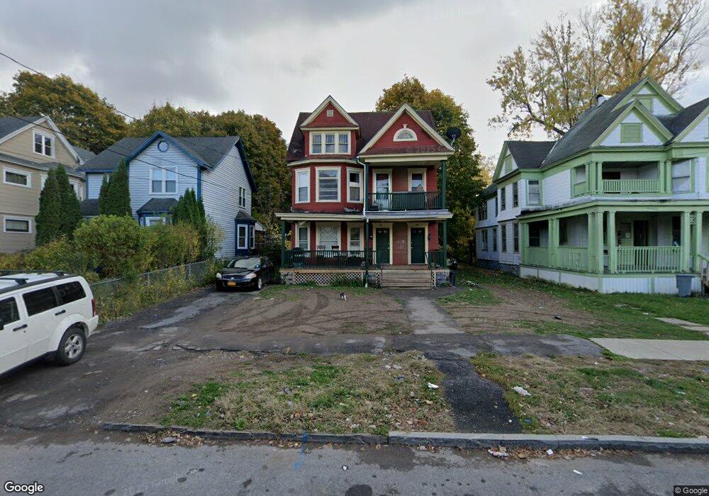
335 Furman St Unit 37 Syracuse, NY 13205
Southside NeighborhoodEstimated Value: $95,000 - $194,000
6
Beds
5
Baths
3,248
Sq Ft
$39/Sq Ft
Est. Value
About This Home
This home is located at 335 Furman St Unit 37, Syracuse, NY 13205 and is currently estimated at $126,102, approximately $38 per square foot. 335 Furman St Unit 37 is a home located in Onondaga County with nearby schools including STEAM AT DR KING ELEMENTARY, Brighton Academy, and Corcoran High School.
Ownership History
Date
Name
Owned For
Owner Type
Purchase Details
Closed on
Aug 1, 2022
Sold by
Fields Milton P and Fields Lillie K
Bought by
Al Brown Hm Imprvmnt Llc
Current Estimated Value
Home Financials for this Owner
Home Financials are based on the most recent Mortgage that was taken out on this home.
Original Mortgage
$52,000
Outstanding Balance
$49,819
Interest Rate
5.78%
Mortgage Type
Purchase Money Mortgage
Estimated Equity
$76,283
Purchase Details
Closed on
Feb 11, 2013
Sold by
Fields Milton
Bought by
Fields Milton
Create a Home Valuation Report for This Property
The Home Valuation Report is an in-depth analysis detailing your home's value as well as a comparison with similar homes in the area
Home Values in the Area
Average Home Value in this Area
Purchase History
| Date | Buyer | Sale Price | Title Company |
|---|---|---|---|
| Al Brown Hm Imprvmnt Llc | $65,000 | None Available | |
| Fields Milton | -- | -- |
Source: Public Records
Mortgage History
| Date | Status | Borrower | Loan Amount |
|---|---|---|---|
| Open | Al Brown Hm Imprvmnt Llc | $52,000 |
Source: Public Records
Tax History
| Year | Tax Paid | Tax Assessment Tax Assessment Total Assessment is a certain percentage of the fair market value that is determined by local assessors to be the total taxable value of land and additions on the property. | Land | Improvement |
|---|---|---|---|---|
| 2024 | $1,167 | $45,000 | $3,600 | $41,400 |
| 2023 | $1,175 | $45,000 | $3,600 | $41,400 |
| 2022 | $1,204 | $45,000 | $3,600 | $41,400 |
| 2021 | $1,204 | $45,000 | $3,600 | $41,400 |
| 2020 | $1,232 | $45,000 | $3,600 | $41,400 |
| 2019 | $2,424 | $45,000 | $3,600 | $41,400 |
| 2018 | $1,223 | $45,000 | $3,600 | $41,400 |
| 2017 | $1,169 | $45,000 | $3,600 | $41,400 |
| 2016 | $1,183 | $45,000 | $3,600 | $41,400 |
| 2015 | -- | $45,000 | $3,600 | $41,400 |
| 2014 | -- | $45,000 | $3,600 | $41,400 |
Source: Public Records
Map
Nearby Homes
- 451 Doctor Martin Luther King W
- 309 W Kennedy St
- 114 Hovey St
- 1039 Midland Ave
- 250 Mclennan Ave
- 243 Mclennan Ave
- 455 Rich St
- 461 Rich St Unit 63
- 600 South Ave
- 419 Rich St
- 412 Rich St
- 325 Rich St
- 321 Rich St
- 308 W Beard Ave
- 128 Mclennan Ave
- 122 W Bissell St
- 243 Palmer Ave
- 1404 Midland Ave
- 1420 Midland Ave
- 209 Lincoln Ave
- 331 Furman St Unit 33
- 339 Furman St Unit 43
- 327 Furman St Unit 29
- 345 Furman St Unit 47
- 321 Furman St Unit 25
- 332 Furman St Unit 36
- 346 Furman St
- 353 Furman St Unit 55
- 322 Furman St Unit 26
- 315 Furman St Unit 19
- 318 Furman St Unit 20
- 429 Cortland Ave
- 357 Furman St Unit 59
- 317 Furman St Unit 19
- 425 Cortland Ave
- 361 Furman St Unit 65
- 328 W Kennedy St
- 309 Furman St Unit 13
- 312 Furman St Unit 16
- 454 Cortland Ave
Your Personal Tour Guide
Ask me questions while you tour the home.