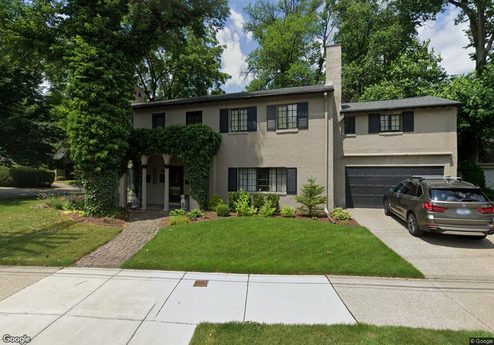
335 Grosse Pointe Blvd Grosse Pointe Farms, MI 48236
Estimated Value: $706,000 - $924,000
--
Bed
1
Bath
3,250
Sq Ft
$241/Sq Ft
Est. Value
About This Home
This home is located at 335 Grosse Pointe Blvd, Grosse Pointe Farms, MI 48236 and is currently estimated at $783,359, approximately $241 per square foot. 335 Grosse Pointe Blvd is a home located in Wayne County with nearby schools including Kerby Elementary School, Brownell Middle School, and Grosse Pointe South High School.
Ownership History
Date
Name
Owned For
Owner Type
Purchase Details
Closed on
Mar 24, 2017
Sold by
Hynous Emmett S
Bought by
Huynous Emmett S
Current Estimated Value
Purchase Details
Closed on
Dec 19, 2016
Sold by
Hynous Justin C
Bought by
Hynous Emmett S
Purchase Details
Closed on
Oct 20, 2006
Sold by
Hynous Robert L and Hynous Elizabeth A
Bought by
Hynous Robert L
Home Financials for this Owner
Home Financials are based on the most recent Mortgage that was taken out on this home.
Original Mortgage
$180,000
Interest Rate
6.45%
Mortgage Type
New Conventional
Create a Home Valuation Report for This Property
The Home Valuation Report is an in-depth analysis detailing your home's value as well as a comparison with similar homes in the area
Home Values in the Area
Average Home Value in this Area
Purchase History
| Date | Buyer | Sale Price | Title Company |
|---|---|---|---|
| Huynous Emmett S | -- | None Available | |
| Hynous Emmett S | $590,000 | First American Title | |
| Hynous Robert L | -- | Metropolitan Title Company |
Source: Public Records
Mortgage History
| Date | Status | Borrower | Loan Amount |
|---|---|---|---|
| Previous Owner | Hynous Robert L | $180,000 |
Source: Public Records
Tax History Compared to Growth
Tax History
| Year | Tax Paid | Tax Assessment Tax Assessment Total Assessment is a certain percentage of the fair market value that is determined by local assessors to be the total taxable value of land and additions on the property. | Land | Improvement |
|---|---|---|---|---|
| 2025 | $5,382 | $369,100 | $0 | $0 |
| 2024 | $5,382 | $343,100 | $0 | $0 |
| 2023 | $4,931 | $312,500 | $0 | $0 |
| 2022 | $4,931 | $282,600 | $0 | $0 |
| 2021 | $9,048 | $254,800 | $0 | $0 |
| 2019 | $8,897 | $241,400 | $0 | $0 |
| 2018 | $4,553 | $232,700 | $0 | $0 |
| 2017 | $7,900 | $207,700 | $0 | $0 |
| 2016 | $8,281 | $204,200 | $0 | $0 |
| 2015 | $16,403 | $181,000 | $0 | $0 |
| 2013 | $15,890 | $158,900 | $0 | $0 |
| 2012 | $4,225 | $158,900 | $44,400 | $114,500 |
Source: Public Records
Map
Nearby Homes
- 81 Moross Rd
- 286 Grosse Pointe Blvd
- 11 Windemere Place Unit 29
- 273 Ridge Rd
- 257 Ridge Rd
- 189 Cloverly Rd
- 475 Lake Shore Rd
- 343 Beaupre Ave
- 130 Merriweather Rd
- 216 Ridge Rd
- 93 Merriweather Rd
- 59 Fordcroft St
- 218 Merriweather Rd
- 259 Mount Vernon Ave
- 265 Williams Ave
- 351 Moselle Place
- 302 Mount Vernon Ave
- 194 Charlevoix Ave
- 535 Ballantyne Rd
- 314 Mount Vernon Ave
- 60 Muskoka Rd
- 339 Grosse Pointe Blvd
- 57 Moross Rd
- 64 Muskoka Rd
- 329 Grosse Pointe Blvd
- 55 Muskoka Rd
- 61 Moross Rd
- 68 Muskoka Rd
- 65 Moross Rd
- 332 Grosse Pointe Blvd
- 60 Cambridge Rd
- 72 Muskoka Rd
- 323 Grosse Pointe Blvd
- 64 Cambridge Rd
- 67 Muskoka Rd
- 71 Moross Rd
- 70 Cambridge Rd
- 76 Muskoka Rd
- 74 Cambridge Rd
- 73 Muskoka Rd