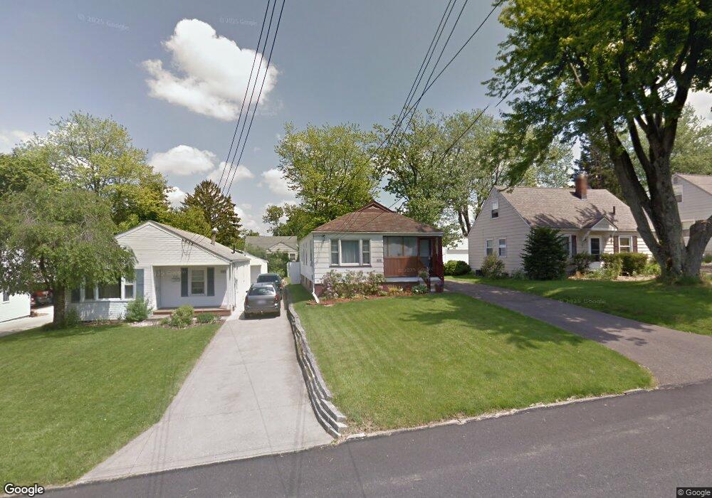
335 Muth Rd Mansfield, OH 44903
Estimated Value: $117,000 - $135,000
2
Beds
1
Bath
924
Sq Ft
$133/Sq Ft
Est. Value
About This Home
This home is located at 335 Muth Rd, Mansfield, OH 44903 and is currently estimated at $123,338, approximately $133 per square foot. 335 Muth Rd is a home located in Richland County with nearby schools including Mansfield Elective Academy and Discovery School.
Ownership History
Date
Name
Owned For
Owner Type
Purchase Details
Closed on
Nov 6, 1997
Sold by
Woods Russell A
Bought by
Woods Karen L
Current Estimated Value
Home Financials for this Owner
Home Financials are based on the most recent Mortgage that was taken out on this home.
Original Mortgage
$60,000
Outstanding Balance
$8,540
Interest Rate
5.75%
Mortgage Type
New Conventional
Estimated Equity
$114,798
Purchase Details
Closed on
Jun 4, 1991
Sold by
Long Sadie
Bought by
Woods Russell A
Create a Home Valuation Report for This Property
The Home Valuation Report is an in-depth analysis detailing your home's value as well as a comparison with similar homes in the area
Home Values in the Area
Average Home Value in this Area
Purchase History
| Date | Buyer | Sale Price | Title Company |
|---|---|---|---|
| Woods Karen L | $67,000 | -- | |
| Woods Russell A | $38,000 | -- |
Source: Public Records
Mortgage History
| Date | Status | Borrower | Loan Amount |
|---|---|---|---|
| Open | Woods Karen L | $60,000 |
Source: Public Records
Tax History
| Year | Tax Paid | Tax Assessment Tax Assessment Total Assessment is a certain percentage of the fair market value that is determined by local assessors to be the total taxable value of land and additions on the property. | Land | Improvement |
|---|---|---|---|---|
| 2024 | $1,233 | $26,940 | $3,100 | $23,840 |
| 2023 | $1,261 | $26,940 | $3,100 | $23,840 |
| 2022 | $1,107 | $19,810 | $2,660 | $17,150 |
| 2021 | $1,115 | $19,810 | $2,660 | $17,150 |
| 2020 | $1,140 | $19,810 | $2,660 | $17,150 |
| 2019 | $1,263 | $19,810 | $2,660 | $17,150 |
| 2018 | $1,246 | $19,810 | $2,660 | $17,150 |
| 2017 | $1,212 | $19,810 | $2,660 | $17,150 |
| 2016 | $1,215 | $19,250 | $3,660 | $15,590 |
| 2015 | $1,160 | $19,250 | $3,660 | $15,590 |
| 2014 | $1,145 | $19,250 | $3,660 | $15,590 |
| 2012 | $873 | $19,260 | $3,860 | $15,400 |
Source: Public Records
Map
Nearby Homes
- 356 S Linden Rd
- 686 Barnard Ave
- 679 Coleman Rd
- 143 Fairlawn Ave
- 135 Fairlawn Ave
- 129 Fairlawn Ave
- 244 S Trimble Rd Unit 246
- 232 S Trimble Rd Unit 234
- 616 Cline Ave
- 216 S Trimble Rd Unit 218
- 189 Westwood Ave
- 535 Woodhill Rd
- 988 Kentland Dr
- 455 Marion Ave
- 116 Stewart Ave S
- 133 Stewart Ave S
- 108 Stewart Ave S
- 126 Dawson Ave
- 31 Parkwood Blvd
- 71 Dawson Ave
Your Personal Tour Guide
Ask me questions while you tour the home.