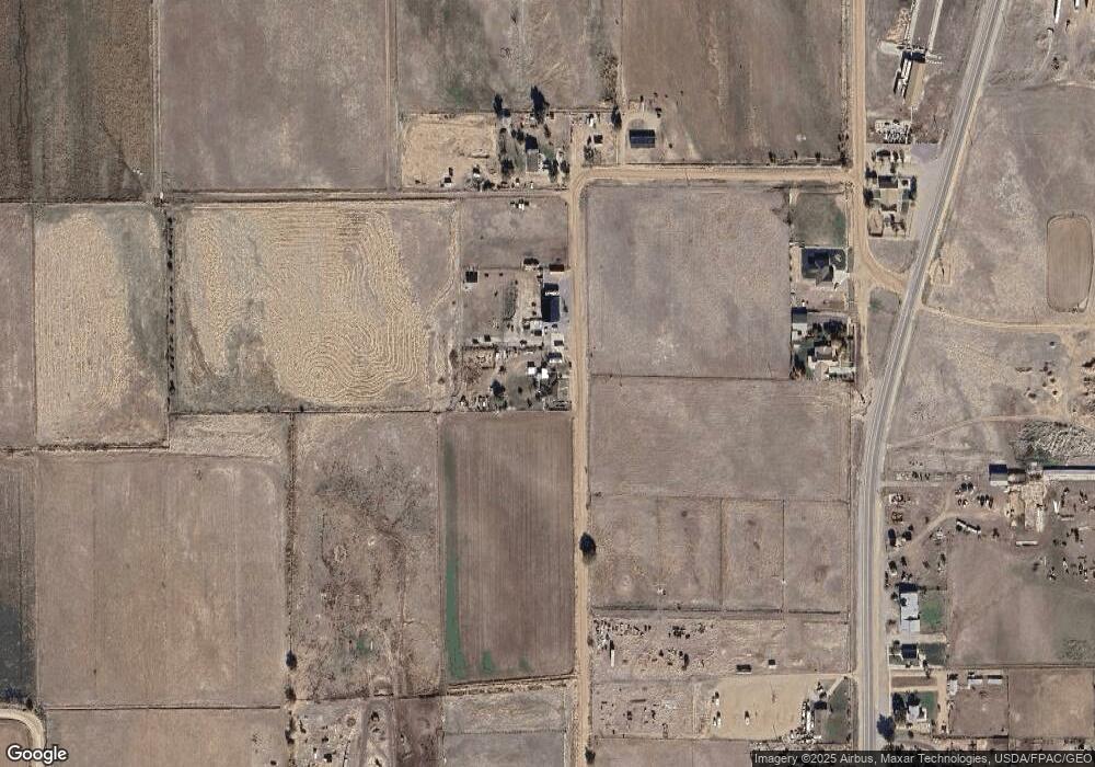
335 N 100 W Kanosh, UT 84637
Estimated Value: $405,000 - $805,000
--
Bed
--
Bath
--
Sq Ft
1.11
Acres
About This Home
This home is located at 335 N 100 W, Kanosh, UT 84637 and is currently estimated at $605,000. 335 N 100 W is a home.
Ownership History
Date
Name
Owned For
Owner Type
Purchase Details
Closed on
Jan 3, 2023
Sold by
Fleming Arthur W
Bought by
Fleming Arthur W and Fleming Clella W
Current Estimated Value
Purchase Details
Closed on
Aug 22, 2014
Sold by
Clella W Clella W and Fleming Arthur W
Bought by
Fleming Arthur W and Fleming Clella W
Home Financials for this Owner
Home Financials are based on the most recent Mortgage that was taken out on this home.
Original Mortgage
$117,472
Interest Rate
4.1%
Mortgage Type
Stand Alone First
Purchase Details
Closed on
Aug 26, 2005
Sold by
Fleming Artjur W and Fleming Clella W
Bought by
Fleming Clella W
Create a Home Valuation Report for This Property
The Home Valuation Report is an in-depth analysis detailing your home's value as well as a comparison with similar homes in the area
Home Values in the Area
Average Home Value in this Area
Purchase History
| Date | Buyer | Sale Price | Title Company |
|---|---|---|---|
| Fleming Arthur W | -- | -- | |
| Fleming Arthur W | -- | First American Title Insur | |
| Fleming Clella W | -- | First American Title Insuran |
Source: Public Records
Mortgage History
| Date | Status | Borrower | Loan Amount |
|---|---|---|---|
| Previous Owner | Fleming Arthur W | $117,472 |
Source: Public Records
Tax History Compared to Growth
Tax History
| Year | Tax Paid | Tax Assessment Tax Assessment Total Assessment is a certain percentage of the fair market value that is determined by local assessors to be the total taxable value of land and additions on the property. | Land | Improvement |
|---|---|---|---|---|
| 2025 | $1,384 | $181,344 | $39,600 | $141,744 |
| 2024 | $1,384 | $198,030 | $35,454 | $162,576 |
| 2023 | $1,773 | $198,030 | $35,454 | $162,576 |
| 2022 | $1,190 | $111,764 | $26,861 | $84,903 |
| 2021 | $1,195 | $108,261 | $23,358 | $84,903 |
| 2020 | $1,040 | $95,106 | $21,234 | $73,872 |
| 2019 | $939 | $86,334 | $19,481 | $66,853 |
| 2018 | $897 | $84,563 | $17,710 | $66,853 |
| 2017 | $938 | $84,563 | $17,710 | $66,853 |
| 2016 | $664 | $62,455 | $13,283 | $49,172 |
| 2015 | $664 | $62,455 | $13,283 | $49,172 |
| 2014 | -- | $62,455 | $13,283 | $49,172 |
| 2013 | -- | $62,455 | $13,283 | $49,172 |
Source: Public Records
Map
Nearby Homes
- 135 E 200 N
- 115 W 200 S
- 58 E 300 South St
- 8610 S Highway 91
- 5098 W Hatton Rd
- Parcel # 8816
- 60 W Center St
- 50 N 100 Rd E
- 145 N 200 E
- 1565 W Sunflower Ln Unit 3
- 1615 W Sunflower Ln
- 1615 W Sunflower Ln Unit 4
- 1565 W Sunflower Ln
- 2000 N West Frontage I-15
- 0 Tbd Black Rock Rd Unit LotWP001
- 1100 S 725 Rd W
- 310 S 500 West Rd
- 190 W 400 St S
- 760 E 700 St S
- 155 E 500 St S
