335 Private Road 2659 Alvord, TX 76225
Estimated Value: $506,000 - $1,120,490
--
Bed
4
Baths
2,936
Sq Ft
$256/Sq Ft
Est. Value
About This Home
This home is located at 335 Private Road 2659, Alvord, TX 76225 and is currently estimated at $752,497, approximately $256 per square foot. 335 Private Road 2659 is a home located in Wise County with nearby schools including Decatur High School.
Ownership History
Date
Name
Owned For
Owner Type
Purchase Details
Closed on
Jul 25, 2025
Sold by
Marilynn Vaughn Collins Irrevocable Trus and Wood Kevin A
Bought by
Wood Kevin A and Wood Barry S
Current Estimated Value
Purchase Details
Closed on
Jul 19, 2016
Sold by
Collins F M & Mary Life Estate
Bought by
Collins Marilynn Life Estate
Purchase Details
Closed on
Apr 22, 2016
Sold by
Collins F M
Bought by
Collins Marilynn Life Estate
Create a Home Valuation Report for This Property
The Home Valuation Report is an in-depth analysis detailing your home's value as well as a comparison with similar homes in the area
Home Values in the Area
Average Home Value in this Area
Purchase History
| Date | Buyer | Sale Price | Title Company |
|---|---|---|---|
| Wood Kevin A | -- | None Listed On Document | |
| Collins Marilynn Life Estate | -- | -- | |
| Collins Marilynn Life Estate | -- | -- |
Source: Public Records
Tax History Compared to Growth
Tax History
| Year | Tax Paid | Tax Assessment Tax Assessment Total Assessment is a certain percentage of the fair market value that is determined by local assessors to be the total taxable value of land and additions on the property. | Land | Improvement |
|---|---|---|---|---|
| 2025 | $2,575 | $463,204 | $28,060 | $435,144 |
| 2024 | $2,575 | $419,826 | $25,510 | $394,316 |
| 2023 | $5,046 | $1,179,455 | $0 | $0 |
| 2022 | $2,740 | $178,563 | $0 | $0 |
| 2021 | $2,602 | $162,330 | $18,420 | $143,910 |
| 2020 | $2,448 | $151,730 | $14,360 | $137,370 |
| 2019 | $2,530 | $147,250 | $14,360 | $132,890 |
| 2018 | $2,490 | $141,600 | $13,070 | $128,530 |
| 2017 | $2,264 | $127,540 | $9,860 | $117,680 |
| 2016 | $2,039 | $114,180 | $8,860 | $105,320 |
| 2015 | -- | $108,590 | $8,360 | $100,230 |
| 2014 | -- | $109,690 | $8,210 | $101,480 |
Source: Public Records
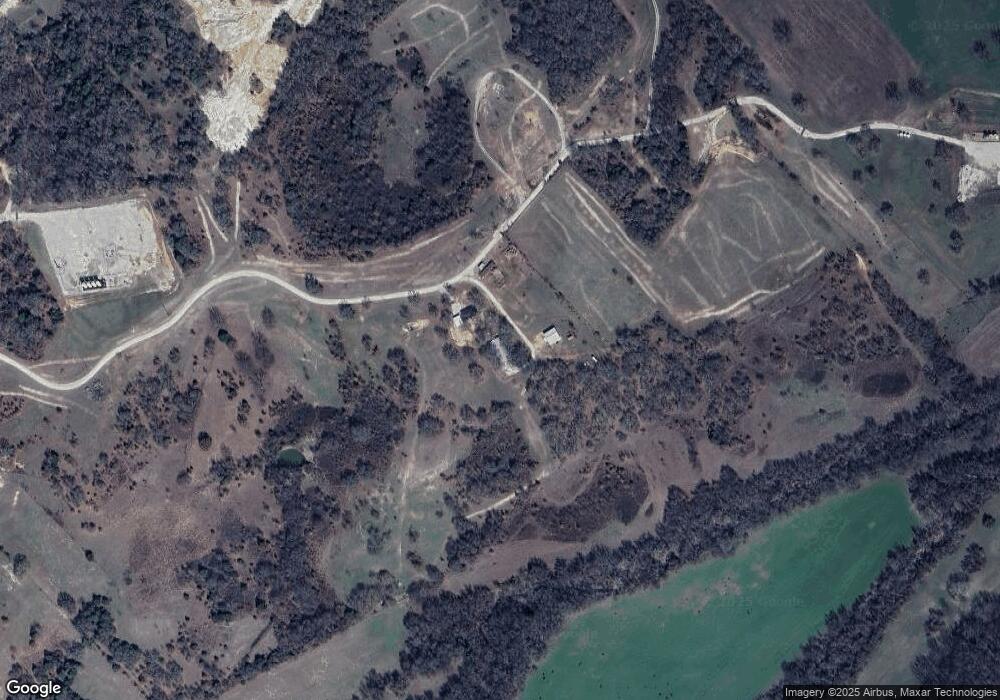
Map
Nearby Homes
- TBD 13.7+/- Acres County Road 2560
- 2454 Private Rd
- TBD Pr 2454
- 0 Pr-2777 Unit 21021129
- 850 County Road 2750
- 1411 Parker Dairy Rd
- TBD Parker Dairy Rd
- 2080 County Road 2445
- 1370 Parker Dairy Rd
- 174 County Road 2690
- 117 County Road 2646
- Tract 2 County Rd 2745
- TBD3 N Fm 730
- 2591 Fm 1204
- TBD Lot 7 Parker Dairy Rd
- TBD County Road 2740
- 1300 County Road 2360
- 1230 County Road 2475
- 1220 County Road 2475
- 1200 County Road 2475
- 335 Private Road 2659
- 184 County Road 2659
- 156 County Road 2659
- 4967 N Fm 730
- 00 County Road 2659
- 0 County Road 2560
- 4768 N Fm 730
- 4768 N Fm 730
- 4524 N Fm 730
- 475 County Road 2560
- 1104 County Road 2560
- 931 County Road 2560
- Tract 5 Private Road 2562
- Tract 7 Private Road 2562
- 4787 S Fm 730
- 4787 N Fm 730
- 475 Private Road 2562
- 457 Private Road 2562
- Tract 1 Private Road 2562
- 244 Private Road 2654