335 S 190 W American Fork, UT 84003
Estimated Value: $527,000 - $605,000
2
Beds
3
Baths
1,000
Sq Ft
$564/Sq Ft
Est. Value
About This Home
Beautiful Basement Apartment
Available November 1, 2024
Highlights:
• New Home - 2022
• Great Neighborhood/Neighbors
• Gig-Speed Internet Included
• Smart Appliances
• Private Laundry
• Storage Room
• Pantry
• Private Entrance
• Smoke and Pet Free
• 2 Off-Street Parking Spaces
• 3 min to I-15, Front Runner, and the city center
• Minimum one-year lease
Rent: $1,350
Utilities: $150
One-Time Deposit: $1,350
Message Matthew to schedule a virtual or in-person tour and to apply.
Ownership History
Date
Name
Owned For
Owner Type
Purchase Details
Closed on
Aug 17, 2021
Sold by
Colaizzi John and Mason Julane
Bought by
Mower Matthew David and Groll Mower Laryssa
Current Estimated Value
Home Financials for this Owner
Home Financials are based on the most recent Mortgage that was taken out on this home.
Original Mortgage
$332,000
Outstanding Balance
$301,891
Interest Rate
2.9%
Mortgage Type
New Conventional
Estimated Equity
$262,102
Purchase Details
Closed on
Aug 12, 2019
Sold by
Af 12 Roost Llc
Bought by
Af 12 Roost Llc
Purchase Details
Closed on
Aug 2, 2019
Sold by
Af 12 Roost Llc
Bought by
Af 12 Roost Llc
Purchase Details
Closed on
Jul 25, 2018
Sold by
Roberts Mfg Inc
Bought by
Af 12 Roost Llc
Create a Home Valuation Report for This Property
The Home Valuation Report is an in-depth analysis detailing your home's value as well as a comparison with similar homes in the area
Home Values in the Area
Average Home Value in this Area
Purchase History
| Date | Buyer | Sale Price | Title Company |
|---|---|---|---|
| Mower Matthew David | -- | Highland Title | |
| Af 12 Roost Llc | -- | Accommodation | |
| Af 12 Roost Llc | -- | Accommodation | |
| Af 12 Roost Llc | -- | Backman Title Services Ltd |
Source: Public Records
Mortgage History
| Date | Status | Borrower | Loan Amount |
|---|---|---|---|
| Open | Mower Matthew David | $332,000 |
Source: Public Records
Property History
| Date | Event | Price | List to Sale | Price per Sq Ft |
|---|---|---|---|---|
| 11/01/2024 11/01/24 | For Rent | $1,450 | 0.0% | -- |
| 10/08/2024 10/08/24 | Off Market | $1,450 | -- | -- |
Tax History Compared to Growth
Tax History
| Year | Tax Paid | Tax Assessment Tax Assessment Total Assessment is a certain percentage of the fair market value that is determined by local assessors to be the total taxable value of land and additions on the property. | Land | Improvement |
|---|---|---|---|---|
| 2025 | $2,467 | $299,805 | $195,500 | $349,600 |
| 2024 | $2,467 | $274,065 | $0 | $0 |
| 2023 | $2,355 | $277,365 | $0 | $0 |
| 2022 | $2,218 | $257,895 | $0 | $0 |
| 2021 | $1,311 | $130,900 | $130,900 | $0 |
| 2020 | $1,207 | $116,900 | $116,900 | $0 |
| 2019 | $1,070 | $107,200 | $107,200 | $0 |
| 2018 | $1,017 | $97,400 | $97,400 | $0 |
| 2017 | $829 | $77,900 | $0 | $0 |
Source: Public Records
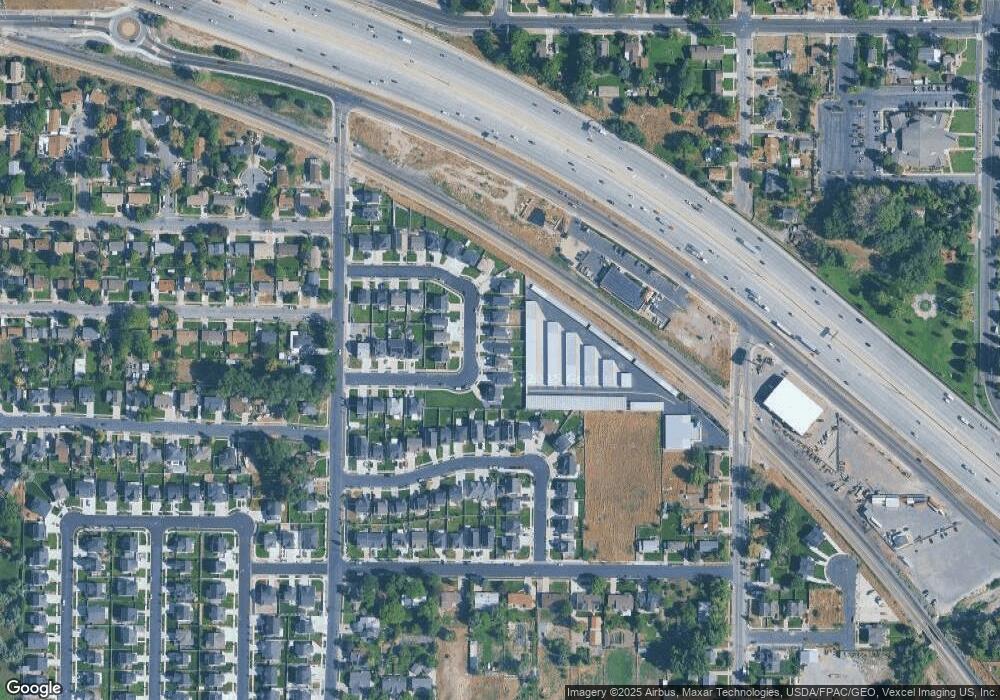
Map
Nearby Homes
- 368 S Storrs Ct Unit 107
- 429 S Storrs Ave
- 316 W 390 S
- 271 S Barratt Cir
- 365 W 370 S
- 424 S 340 W
- 382 W 330 S
- 391 W 370 S
- 412 S 390 W
- 195 S Center St
- 65 E 400 S Unit 8
- 351 Washington Ave
- 82 S Lincoln Ave
- 55 Roosevelt Ave
- 217 W Main St
- 326 S 650 W
- 528 S 260 E
- 415 S 680 W Unit 45
- 129 W Pacific Dr
- 336 S 300 E
- 335 S 190 W Unit Basement
- 335 S 190 W Unit 5A
- 335 S 190 W
- 341 S 190 W Unit 5B
- 341 S 190 W
- 327 S 190 W Unit 4B
- 327 S 190 W
- 321 S 190 W Unit 4A
- 321 S 190 W
- 349 S 190 W Unit 6A
- 349 S 190 W
- 317 S 190 W Unit 3B
- 317 S 190 W
- 355 S 190 W Unit 6B
- 355 S 190 W
- 332 S 190 W Unit 7B
- 338 S 190 W Unit 7A
- 311 S 190 W Unit 3A
- 311 S 190 W
- 324 S 190 W Unit 8A