335 S 2nd St Freeland, MI 48623
Freeland NeighborhoodEstimated Value: $213,000 - $227,000
3
Beds
2
Baths
1,390
Sq Ft
$157/Sq Ft
Est. Value
About This Home
This home is located at 335 S 2nd St, Freeland, MI 48623 and is currently estimated at $217,732, approximately $156 per square foot. 335 S 2nd St is a home located in Saginaw County with nearby schools including Freeland Learning Center, Freeland Elementary School, and Freeland Middle/High School.
Ownership History
Date
Name
Owned For
Owner Type
Purchase Details
Closed on
May 21, 2013
Sold by
Short Ashley L and Kabobel Ashley L
Bought by
Short Thomas C and Short Ashley L
Current Estimated Value
Purchase Details
Closed on
Dec 2, 2009
Sold by
Kernstock Carol L and Kernstock Thomas
Bought by
Kabobel Ahley L
Home Financials for this Owner
Home Financials are based on the most recent Mortgage that was taken out on this home.
Original Mortgage
$96,705
Interest Rate
5.02%
Mortgage Type
Purchase Money Mortgage
Purchase Details
Closed on
Aug 28, 2002
Sold by
Estate Of Evelyn G Schimm
Bought by
Kernstock Carol L
Create a Home Valuation Report for This Property
The Home Valuation Report is an in-depth analysis detailing your home's value as well as a comparison with similar homes in the area
Home Values in the Area
Average Home Value in this Area
Purchase History
| Date | Buyer | Sale Price | Title Company |
|---|---|---|---|
| Short Thomas C | -- | -- | |
| Kabobel Ahley L | $107,450 | -- | |
| Kernstock Carol L | -- | -- |
Source: Public Records
Mortgage History
| Date | Status | Borrower | Loan Amount |
|---|---|---|---|
| Previous Owner | Kabobel Ahley L | $96,705 |
Source: Public Records
Tax History Compared to Growth
Tax History
| Year | Tax Paid | Tax Assessment Tax Assessment Total Assessment is a certain percentage of the fair market value that is determined by local assessors to be the total taxable value of land and additions on the property. | Land | Improvement |
|---|---|---|---|---|
| 2025 | $2,470 | $95,800 | $0 | $0 |
| 2024 | $672 | $87,100 | $0 | $0 |
| 2023 | $640 | $71,200 | $0 | $0 |
| 2022 | $2,042 | $67,100 | $0 | $0 |
| 2021 | $1,875 | $64,300 | $0 | $0 |
| 2020 | $1,814 | $58,700 | $0 | $0 |
| 2019 | $1,756 | $52,500 | $0 | $0 |
| 2018 | $558 | $50,900 | $0 | $0 |
| 2017 | $1,588 | $52,000 | $0 | $0 |
| 2016 | $1,738 | $52,600 | $0 | $0 |
| 2014 | -- | $50,400 | $0 | $40,900 |
| 2013 | -- | $49,000 | $0 | $0 |
Source: Public Records
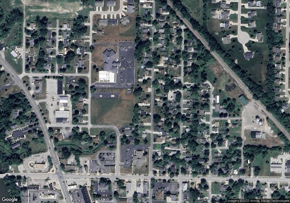
Map
Nearby Homes
- 315 S 2nd St
- 590 Church St
- 160 N 4th St
- 147 S 7th St
- 335 Third St
- 1040 Wheelock St
- 10190 Dove Dr
- 9100 Brook Hollow Ln
- 8231 Midland Rd
- 1175 N Dawn Dr
- 8326 Waxwing Dr
- 8421 Waxwing Dr
- 8 Willow Point Dr
- 11182 Thornberry Dr
- 8311 Summer Ridge Dr
- 11216 Thornberry Dr
- 7049 Midland Rd
- 8599 Ashland Place
- 7724 Hillbridge Dr
- 8699 Ashland Place