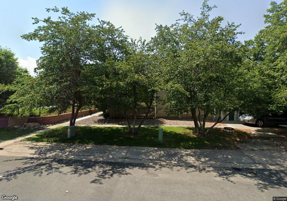
335 S Taft Ct Unit 23 Louisville, CO 80027
Estimated Value: $330,500 - $425,000
1
Bed
1
Bath
624
Sq Ft
$597/Sq Ft
Est. Value
About This Home
This home is located at 335 S Taft Ct Unit 23, Louisville, CO 80027 and is currently estimated at $372,625, approximately $597 per square foot. 335 S Taft Ct Unit 23 is a home located in Boulder County with nearby schools including Fireside Elementary School, Monarch K-8 School, and Monarch High School.
Ownership History
Date
Name
Owned For
Owner Type
Purchase Details
Closed on
Mar 12, 2010
Sold by
Krueger Karen S
Bought by
Knipp Delores
Current Estimated Value
Purchase Details
Closed on
May 31, 1994
Sold by
Mathews David M
Bought by
Krueger Karen S
Home Financials for this Owner
Home Financials are based on the most recent Mortgage that was taken out on this home.
Original Mortgage
$66,500
Interest Rate
8.45%
Mortgage Type
FHA
Purchase Details
Closed on
Sep 29, 1983
Bought by
Knipp Delores
Purchase Details
Closed on
Aug 16, 1983
Bought by
Knipp Delores
Purchase Details
Closed on
Mar 24, 1981
Bought by
Knipp Delores
Create a Home Valuation Report for This Property
The Home Valuation Report is an in-depth analysis detailing your home's value as well as a comparison with similar homes in the area
Home Values in the Area
Average Home Value in this Area
Purchase History
| Date | Buyer | Sale Price | Title Company |
|---|---|---|---|
| Knipp Delores | $154,900 | Utc Colorado | |
| Krueger Karen S | $70,000 | -- | |
| Knipp Delores | $54,300 | -- | |
| Knipp Delores | -- | -- | |
| Knipp Delores | $1,300,000 | -- |
Source: Public Records
Mortgage History
| Date | Status | Borrower | Loan Amount |
|---|---|---|---|
| Previous Owner | Krueger Karen S | $66,500 |
Source: Public Records
Tax History Compared to Growth
Tax History
| Year | Tax Paid | Tax Assessment Tax Assessment Total Assessment is a certain percentage of the fair market value that is determined by local assessors to be the total taxable value of land and additions on the property. | Land | Improvement |
|---|---|---|---|---|
| 2025 | $1,857 | $23,606 | -- | $23,606 |
| 2024 | $1,857 | $23,606 | -- | $23,606 |
| 2023 | $1,826 | $20,661 | -- | $24,346 |
| 2022 | $1,686 | $17,521 | $0 | $17,521 |
| 2021 | $1,919 | $20,721 | $0 | $20,721 |
| 2020 | $1,762 | $18,826 | $0 | $18,826 |
| 2019 | $1,737 | $18,826 | $0 | $18,826 |
| 2018 | $1,608 | $18,000 | $0 | $18,000 |
| 2017 | $1,576 | $20,234 | $0 | $20,234 |
| 2016 | $1,263 | $14,360 | $0 | $14,360 |
| 2015 | $1,197 | $11,709 | $0 | $11,709 |
| 2014 | $1,001 | $11,709 | $0 | $11,709 |
Source: Public Records
Map
Nearby Homes
- 279 S Taft Ct Unit 53
- 323 S Taft Ct Unit 26
- 305 S Taft Ct Unit 33
- 284 S Taft Ct Unit 76
- 362 S Taft Ct Unit 108
- 641 W Dahlia St
- 749 Apple Ct
- 174 Cherrywood Ln
- 118 S Tanager Ct
- 812 W Mulberry St
- 159 S Polk Ave
- 546 Ridgeview Dr
- 572 Ridgeview Dr
- 567 Manorwood Ln
- 590 Manorwood Ln N
- 539 Coal Creek Ln
- 620 Ridgeview Dr
- 408 Fillmore Ct
- 494 Owl Dr Unit 4
- 730 Copper Ln Unit 106
- 309 S Taft Ct Unit 35
- 303 S Taft Ct Unit 32
- 301 S Taft Ct Unit 31
- 333 S Taft Ct Unit 22
- 329 S Taft Ct Unit 20
- 337 S Taft Ct Unit 24
- 331 S Taft Ct Unit 21
- 311 S Taft Ct Unit 36
- 327 S Taft Ct Unit 19
- 307 S Taft Ct Unit 34
- 315 S Taft Ct Unit 30
- 317 S Taft Ct Unit 29
- 321 S Taft Ct Unit 28
- 319 S Taft Ct Unit 27
- 325 S Taft Ct Unit 25
- 325 S Taft Ct Unit 5-25
- 315 S Taft Ct Unit 104
- 289 S Taft Ct Unit 48
- 295 S Taft Ct Unit 45
- 297 S Taft Ct Unit 44