335 Stow Rd Harvard, MA 01451
Estimated Value: $1,298,329 - $1,400,000
5
Beds
4
Baths
4,032
Sq Ft
$332/Sq Ft
Est. Value
About This Home
This home is located at 335 Stow Rd, Harvard, MA 01451 and is currently estimated at $1,338,110, approximately $331 per square foot. 335 Stow Rd is a home located in Worcester County with nearby schools including Hildreth Elementary School and The Bromfield School.
Ownership History
Date
Name
Owned For
Owner Type
Purchase Details
Closed on
Nov 18, 2023
Sold by
Planchet David and Planchet Julie
Bought by
David Planchet Ret and Planchet
Current Estimated Value
Purchase Details
Closed on
Sep 10, 2007
Sold by
Maka Stephen G
Bought by
Planchet David P and Planchet Julie A
Home Financials for this Owner
Home Financials are based on the most recent Mortgage that was taken out on this home.
Original Mortgage
$972,000
Interest Rate
6.74%
Mortgage Type
Purchase Money Mortgage
Create a Home Valuation Report for This Property
The Home Valuation Report is an in-depth analysis detailing your home's value as well as a comparison with similar homes in the area
Home Values in the Area
Average Home Value in this Area
Purchase History
| Date | Buyer | Sale Price | Title Company |
|---|---|---|---|
| David Planchet Ret | -- | None Available | |
| Planchet David P | $360,000 | -- | |
| Planchet David P | $360,000 | -- |
Source: Public Records
Mortgage History
| Date | Status | Borrower | Loan Amount |
|---|---|---|---|
| Previous Owner | Planchet David P | $972,000 |
Source: Public Records
Tax History Compared to Growth
Tax History
| Year | Tax Paid | Tax Assessment Tax Assessment Total Assessment is a certain percentage of the fair market value that is determined by local assessors to be the total taxable value of land and additions on the property. | Land | Improvement |
|---|---|---|---|---|
| 2025 | $19,879 | $1,270,200 | $267,400 | $1,002,800 |
| 2024 | $19,087 | $1,281,000 | $267,400 | $1,013,600 |
| 2023 | $19,480 | $1,172,800 | $257,900 | $914,900 |
| 2022 | $18,908 | $1,055,700 | $286,600 | $769,100 |
| 2021 | $18,149 | $966,400 | $286,600 | $679,800 |
| 2020 | $3,792 | $966,900 | $286,600 | $680,300 |
| 2019 | $16,997 | $975,700 | $286,600 | $689,100 |
| 2018 | $1,916 | $1,021,500 | $286,600 | $734,900 |
| 2017 | $16,887 | $933,000 | $246,600 | $686,400 |
| 2016 | $16,996 | $941,600 | $246,600 | $695,000 |
| 2015 | $16,148 | $907,700 | $242,600 | $665,100 |
| 2014 | $15,513 | $907,700 | $242,600 | $665,100 |
Source: Public Records
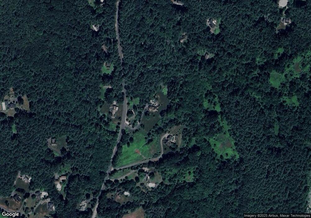
Map
Nearby Homes
- 13 Pine Hill Way
- 18 B Pine Hill Way Unit BB
- 14 Pine Hill Way
- 16 A Pine Hill Way Unit 16AA
- 53 Sylvan Dr
- 90 Corn Rd
- 19 Partridge Hill Rd
- 9 Cortland Dr Unit 9
- 310 Codman Hill Rd Unit 35D
- 154 Long Hill Rd
- 68 Hudson Rd
- 94 Hudson Rd
- 47 Sugar Rd
- 143 Hudson Rd
- 19 Barton Rd
- 0 Long Hill Rd
- 236 Bolton Rd
- 21 Woodside Rd
- 3 Old Harvard Rd
- 90 Harvard Rd