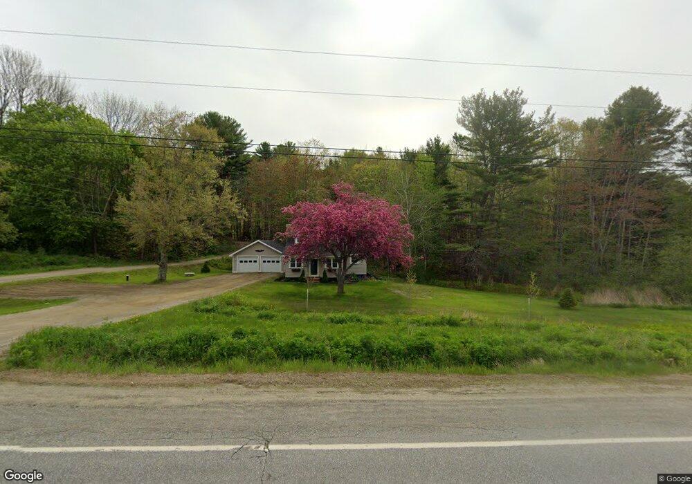
335 Turnpike Dr Camden, ME 04843
Estimated Value: $500,000 - $594,000
3
Beds
1
Bath
1,210
Sq Ft
$449/Sq Ft
Est. Value
About This Home
This home is located at 335 Turnpike Dr, Camden, ME 04843 and is currently estimated at $543,299, approximately $449 per square foot. 335 Turnpike Dr is a home located in Knox County with nearby schools including Camden-Rockport Elementary School, Camden-Rockport Middle School, and Camden Hills Regional High School.
Ownership History
Date
Name
Owned For
Owner Type
Purchase Details
Closed on
Feb 26, 2016
Sold by
Morong Edwin W
Bought by
Morong Edwin W and Morong Glenna
Current Estimated Value
Home Financials for this Owner
Home Financials are based on the most recent Mortgage that was taken out on this home.
Original Mortgage
$185,000
Interest Rate
3.92%
Mortgage Type
Purchase Money Mortgage
Purchase Details
Closed on
May 6, 2013
Sold by
Lenz Mary D
Bought by
A & B Tag Team Rt
Create a Home Valuation Report for This Property
The Home Valuation Report is an in-depth analysis detailing your home's value as well as a comparison with similar homes in the area
Home Values in the Area
Average Home Value in this Area
Purchase History
| Date | Buyer | Sale Price | Title Company |
|---|---|---|---|
| Morong Edwin W | -- | -- | |
| A & B Tag Team Rt | -- | -- | |
| Lenz Mary D | -- | -- |
Source: Public Records
Mortgage History
| Date | Status | Borrower | Loan Amount |
|---|---|---|---|
| Closed | Morong Edwin W | $185,000 |
Source: Public Records
Tax History Compared to Growth
Tax History
| Year | Tax Paid | Tax Assessment Tax Assessment Total Assessment is a certain percentage of the fair market value that is determined by local assessors to be the total taxable value of land and additions on the property. | Land | Improvement |
|---|---|---|---|---|
| 2024 | $4,721 | $449,600 | $127,100 | $322,500 |
| 2023 | $4,093 | $296,600 | $57,500 | $239,100 |
| 2022 | $3,915 | $296,600 | $57,500 | $239,100 |
| 2021 | $3,147 | $205,000 | $52,600 | $152,400 |
| 2020 | $3,081 | $205,000 | $52,600 | $152,400 |
| 2019 | $3,057 | $205,000 | $52,600 | $152,400 |
| 2018 | $3,198 | $214,900 | $54,800 | $160,100 |
| 2017 | $2,850 | $198,200 | $54,800 | $143,400 |
| 2016 | $2,830 | $181,500 | $56,600 | $124,900 |
| 2015 | $2,746 | $181,500 | $56,600 | $124,900 |
| 2014 | $2,619 | $181,500 | $56,600 | $124,900 |
| 2013 | $2,548 | $181,500 | $56,600 | $124,900 |
Source: Public Records
Map
Nearby Homes
- 11 A Mountainside Park
- 111 Start Rd
- 315 Beaucaire Ave
- 161 Beaucaire Ave
- 110 Mountain St
- 1 Branch St
- 43 Melvin Heights Rd
- 10 Glenfield Cir
- 80 Cobb Rd
- 122,6-1 Timbercliffe Dr
- 122,7-1 Timbercliffe Dr
- 00 Mountain Arrow Dr Unit LOT B
- 24 Timbercliffe Dr
- 9 Harden Ave
- 190 Belfast Rd
- 59 High St
- 424 Molyneaux Rd
- 27 High St
- 12 Free St
- 56 Elm St
- 345 Turnpike Dr
- 340 Turnpike Dr
- 325 Turnpike Dr
- 346 Turnpike Dr
- 21 Mountainside Park
- 21 Molyneaux Rd
- 1 Molyneaux Rd
- 355 Turnpike Dr
- 337 Turnpike Dr
- 350 Turnpike Dr
- na Molyneaux Rd
- 27 Molyneaux Rd
- 307 Mountain St
- 27 Blackberry Ln
- 17 Mountainside Park
- 0 Maine 52
- 0 Molyneaux Rd Unit 237191
- 0 Molyneaux Rd Unit 592291
- 0 Molyneaux Rd Unit 216539
- 0 Molyneaux Rd Unit 260554