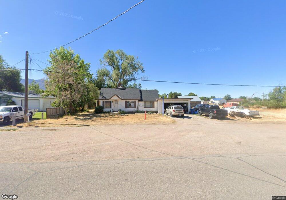
335 W 100 N Fillmore, UT 84631
Estimated Value: $268,000 - $291,000
3
Beds
1
Bath
1,846
Sq Ft
$148/Sq Ft
Est. Value
About This Home
This home is located at 335 W 100 N, Fillmore, UT 84631 and is currently estimated at $274,093, approximately $148 per square foot. 335 W 100 N is a home located in Millard County.
Ownership History
Date
Name
Owned For
Owner Type
Purchase Details
Closed on
Jun 14, 2021
Sold by
Raymond Moreno
Bought by
Moreno Raymond
Current Estimated Value
Purchase Details
Closed on
Mar 12, 2021
Sold by
Moreno Raymons and Rivera Stephanie
Bought by
Moreno Raymond
Purchase Details
Closed on
Aug 21, 2017
Sold by
Moreno Rosa E
Bought by
Moreno Roymond and Rivera Stephanie
Purchase Details
Closed on
Apr 20, 2016
Sold by
Wells Fargo Bank
Bought by
Hud
Purchase Details
Closed on
Oct 5, 2005
Sold by
Ashman Robert J and Ashman Wendy O
Bought by
Smrstick Lance L and Smrstick Tiffany N
Create a Home Valuation Report for This Property
The Home Valuation Report is an in-depth analysis detailing your home's value as well as a comparison with similar homes in the area
Home Values in the Area
Average Home Value in this Area
Purchase History
| Date | Buyer | Sale Price | Title Company |
|---|---|---|---|
| Moreno Raymond | -- | None Listed On Document | |
| Moreno Raymond | -- | First American Title Insuran | |
| Moreno Roymond | -- | -- | |
| Hud | -- | First American Title | |
| Hud | -- | First American Title | |
| Wells Fargo Bank | -- | -- | |
| Smrstick Lance L | -- | -- |
Source: Public Records
Tax History Compared to Growth
Tax History
| Year | Tax Paid | Tax Assessment Tax Assessment Total Assessment is a certain percentage of the fair market value that is determined by local assessors to be the total taxable value of land and additions on the property. | Land | Improvement |
|---|---|---|---|---|
| 2025 | $975 | $122,445 | $22,858 | $99,587 |
| 2024 | $975 | $113,008 | $20,292 | $92,716 |
| 2023 | $1,237 | $113,008 | $20,292 | $92,716 |
| 2022 | $909 | $81,616 | $11,641 | $69,975 |
| 2021 | $890 | $76,755 | $15,110 | $61,645 |
| 2020 | $823 | $71,383 | $13,736 | $57,647 |
| 2019 | $710 | $61,740 | $13,736 | $48,004 |
| 2018 | $678 | $60,386 | $13,736 | $46,650 |
| 2017 | $557 | $47,124 | $13,736 | $33,388 |
| 2016 | $533 | $47,124 | $13,736 | $33,388 |
| 2015 | $533 | $47,124 | $13,736 | $33,388 |
| 2014 | -- | $47,124 | $13,736 | $33,388 |
| 2013 | -- | $47,124 | $13,736 | $33,388 |
Source: Public Records
Map
Nearby Homes
- 225 W 200 St N
- 75 N 100 West St
- 165 N 100 W
- 295 N 100 West St
- 335 W 400 North St
- 380 N 200 St W
- 390 N 100 W
- 310 S 500 West Rd
- 40 S 100 Rd E
- 120 S 100 East Rd
- 410 W 400 N
- 190 W 400 St S
- 220 S 200 E
- 155 E 500 St S
- 157 E 500 South St
- 430 E Canyon Rd
- 405 E 500 St S
- 310 S 600 E
- 760 E 700 St S
- 1100 S 725 Rd W