3350 Frog Leap Farm Rd Byrnes Mill, MO 63051
Estimated Value: $408,000 - $830,716
4
Beds
4
Baths
7,733
Sq Ft
$72/Sq Ft
Est. Value
About This Home
This home is located at 3350 Frog Leap Farm Rd, Byrnes Mill, MO 63051 and is currently estimated at $558,905, approximately $72 per square foot. 3350 Frog Leap Farm Rd is a home located in Jefferson County with nearby schools including Northwest High School and St. Anthony School.
Ownership History
Date
Name
Owned For
Owner Type
Purchase Details
Closed on
Mar 25, 2009
Sold by
English Thomas and Crain Marion
Bought by
Crain Marion G and English Thomas F
Current Estimated Value
Home Financials for this Owner
Home Financials are based on the most recent Mortgage that was taken out on this home.
Original Mortgage
$220,000
Interest Rate
5.16%
Mortgage Type
Purchase Money Mortgage
Purchase Details
Closed on
Jun 26, 2008
Sold by
Baer Jill M and Drennan Patricia
Bought by
English Thomas and Crain Marion
Home Financials for this Owner
Home Financials are based on the most recent Mortgage that was taken out on this home.
Original Mortgage
$225,000
Interest Rate
6.4%
Mortgage Type
Purchase Money Mortgage
Purchase Details
Closed on
Jan 11, 2008
Sold by
Looney James L and Looney Jessica C
Bought by
Baer Jill M and Drennan Patricia
Purchase Details
Closed on
Oct 28, 2005
Sold by
Baer Jill M
Bought by
Baer Jill M and Drennan Patricia A
Create a Home Valuation Report for This Property
The Home Valuation Report is an in-depth analysis detailing your home's value as well as a comparison with similar homes in the area
Home Values in the Area
Average Home Value in this Area
Purchase History
| Date | Buyer | Sale Price | Title Company |
|---|---|---|---|
| Crain Marion G | -- | Assured Title Company | |
| English Thomas | -- | Commonwealth Land Title | |
| Baer Jill M | -- | None Available | |
| Baer Jill M | -- | -- |
Source: Public Records
Mortgage History
| Date | Status | Borrower | Loan Amount |
|---|---|---|---|
| Closed | Crain Marion G | $220,000 | |
| Closed | English Thomas | $225,000 |
Source: Public Records
Tax History Compared to Growth
Tax History
| Year | Tax Paid | Tax Assessment Tax Assessment Total Assessment is a certain percentage of the fair market value that is determined by local assessors to be the total taxable value of land and additions on the property. | Land | Improvement |
|---|---|---|---|---|
| 2025 | $5,280 | $79,100 | $3,500 | $75,600 |
| 2024 | $5,280 | $72,600 | $3,500 | $69,100 |
| 2023 | $5,280 | $72,600 | $3,500 | $69,100 |
| 2022 | $5,221 | $72,600 | $3,500 | $69,100 |
| 2021 | $5,221 | $72,600 | $3,500 | $69,100 |
| 2020 | $4,792 | $65,100 | $3,300 | $61,800 |
| 2019 | $4,783 | $65,100 | $3,300 | $61,800 |
| 2018 | $4,847 | $65,100 | $3,300 | $61,800 |
| 2017 | $4,658 | $65,100 | $3,300 | $61,800 |
| 2016 | $4,431 | $61,292 | $3,292 | $58,000 |
| 2015 | $4,508 | $61,292 | $3,292 | $58,000 |
| 2013 | $4,508 | $60,500 | $3,100 | $57,400 |
Source: Public Records
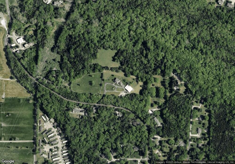
Map
Nearby Homes
- 3633 Log Cabin Ln
- 3291 Echo Lake Dr
- 3279 Echo Lake Dr
- 3303 Byrnes Mill Rd
- 6866 Twin River Rd
- 302 Anthony Cir
- 45 Rd
- 3928 Southridge Trail
- 1028 Red Fox Dr
- 2 Aspen at Fox Run
- 210 Red Fox Ct
- 206 Red Fox Ct
- 2 Berwick at Fox Run
- 209 Red Fox Ct
- 1035 Red Fox Dr
- 205 Red Fox Ct
- 6752 Walnut Valley Dr
- 2 Aspen II at Fox Run
- 3901 Olde Mill Dr
- 77 Shady Oaks Dr
- 6738 Franks Rd
- 6723 Franks Rd
- 6762 Franks Rd
- 6720 Franks Rd
- 6774 Franks Rd
- 3535 Traci Ln
- 3676 Wheatfield Cir
- 6713 Franks Rd
- 3670 Wheatfield Cir
- 3664 Wheatfield Cir
- 3550 Traci Ln
- 6821 Franks Rd
- 6703 Franks Rd
- 3609 Traci Ln
- 3570 Traci Ln
- 3675 Wheatfield Cir
- 3590 Traci Ln
- 6831 Franks Rd
- 3658 Wheatfield Cir
- 3611 Traci Ln