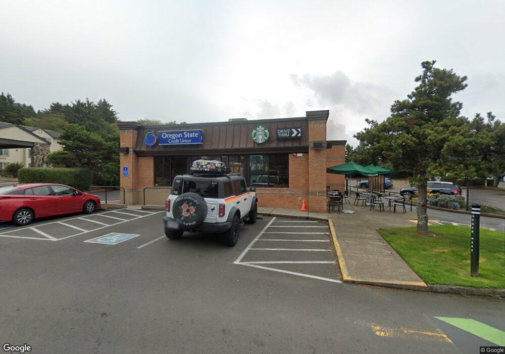
3350 NE Highway 101 Lincoln City, OR 97367
Estimated Value: $2,392,076
--
Bed
--
Bath
3,739
Sq Ft
$640/Sq Ft
Est. Value
About This Home
This home is located at 3350 NE Highway 101, Lincoln City, OR 97367 and is currently estimated at $2,392,076, approximately $639 per square foot. 3350 NE Highway 101 is a home located in Lincoln County with nearby schools including Oceanlake Elementary School, Taft Elementary School, and Taft High School.
Ownership History
Date
Name
Owned For
Owner Type
Purchase Details
Closed on
Mar 30, 2021
Sold by
Ever Will Management Llc
Bought by
Oregon State Credit Union
Current Estimated Value
Purchase Details
Closed on
May 29, 2008
Sold by
Barnes Lincoln City Llc
Bought by
Ever Will Management Llc
Home Financials for this Owner
Home Financials are based on the most recent Mortgage that was taken out on this home.
Original Mortgage
$1,155,000
Interest Rate
5.87%
Mortgage Type
Commercial
Create a Home Valuation Report for This Property
The Home Valuation Report is an in-depth analysis detailing your home's value as well as a comparison with similar homes in the area
Home Values in the Area
Average Home Value in this Area
Purchase History
| Date | Buyer | Sale Price | Title Company |
|---|---|---|---|
| Oregon State Credit Union | $1,680,000 | Fidelity National Title | |
| Ever Will Management Llc | -- | Multiple |
Source: Public Records
Mortgage History
| Date | Status | Borrower | Loan Amount |
|---|---|---|---|
| Previous Owner | Ever Will Management Llc | $1,155,000 |
Source: Public Records
Tax History Compared to Growth
Tax History
| Year | Tax Paid | Tax Assessment Tax Assessment Total Assessment is a certain percentage of the fair market value that is determined by local assessors to be the total taxable value of land and additions on the property. | Land | Improvement |
|---|---|---|---|---|
| 2024 | $29,438 | $1,726,690 | -- | -- |
| 2023 | $28,684 | $1,679,810 | $0 | $0 |
| 2022 | $27,884 | $1,630,890 | $0 | $0 |
| 2021 | $26,562 | $1,583,390 | $0 | $0 |
| 2020 | $25,726 | $1,537,280 | $0 | $0 |
| 2019 | $24,728 | $1,492,510 | $0 | $0 |
| 2018 | $24,895 | $1,492,510 | $0 | $0 |
| 2017 | $24,532 | $1,492,510 | $0 | $0 |
| 2016 | $21,575 | $1,339,860 | $0 | $0 |
| 2015 | $20,780 | $1,300,840 | $0 | $0 |
| 2014 | $20,858 | $1,300,840 | $0 | $0 |
Source: Public Records
Map
Nearby Homes
- 2064 NW 33rd St
- 3432 NW Port Ct
- 3522 NE Quay Ave
- 3235 NW Quay Dr
- 3507 NW Port Ave
- 3244 NW Oar Dr
- 3570 NE Reef Dr
- 1830 NW 35th Place
- 3595 NE Reef Dr
- 3034 NW Oar Dr
- 3039 NW Oar Dr
- 1756 NW 35th Place
- 1845 NW 30th St
- 3201 NW Mast Ave
- 3848 NW Port Ave
- 2930 NE Hwy 101
- 1715 NW 35th Place
- 1900 Blk Nw 38th Street Tl5000
- 1900 Blk Nw 38th Tl5000
- 2480 NE 29th Dr
- 3400 NE Highway 101
- 3262 NE Highway 101
- 3430 NE Highway 101
- 3244 Quay N W
- 3417 NW Highway 101
- 3232 NE Highway 101
- 3417 NW U S 101
- 3321 NW Highway 101
- 2000 Blk - Nw 33rd St
- 2000 Blk - 33rd St NW
- 3454 NE Highway 101
- 3000 NW Quay # Blk Dr
- 3000 NW Quay # Blk Dr
- 2102 NW 33rd St
- 3468 NE Highway 101
- 2050 NW 33rd St
- 3468 NW U S 101
- 2065 NW 34th St
- 2041 NW 34th St
- 2800 Bl NW Port Ave