3353 Breslin Ln Ferndale, WA 98248
Estimated Value: $747,000 - $952,000
4
Beds
3
Baths
2,914
Sq Ft
$298/Sq Ft
Est. Value
About This Home
This home is located at 3353 Breslin Ln, Ferndale, WA 98248 and is currently estimated at $867,383, approximately $297 per square foot. 3353 Breslin Ln is a home located in Whatcom County with nearby schools including Eagleridge Elementary School, Horizon Middle School, and Ferndale High School.
Ownership History
Date
Name
Owned For
Owner Type
Purchase Details
Closed on
Jun 4, 2009
Sold by
Vanvleck Aaron L and Van Vleck Melissa M
Bought by
Underwood James C and Underwood Eri
Current Estimated Value
Home Financials for this Owner
Home Financials are based on the most recent Mortgage that was taken out on this home.
Original Mortgage
$329,350
Outstanding Balance
$205,505
Interest Rate
4.78%
Mortgage Type
Purchase Money Mortgage
Estimated Equity
$661,878
Purchase Details
Closed on
Jul 19, 2004
Sold by
Rodriguez Ricardo R and Rodriguez Jacqueline
Bought by
Vanvleck Aaron L and Vanvleck Melissa M
Home Financials for this Owner
Home Financials are based on the most recent Mortgage that was taken out on this home.
Original Mortgage
$275,000
Interest Rate
5.75%
Mortgage Type
Construction
Create a Home Valuation Report for This Property
The Home Valuation Report is an in-depth analysis detailing your home's value as well as a comparison with similar homes in the area
Purchase History
| Date | Buyer | Sale Price | Title Company |
|---|---|---|---|
| Underwood James C | $387,780 | Chicago Title Insurance | |
| Vanvleck Aaron L | $85,000 | Chicago Title Insurance |
Source: Public Records
Mortgage History
| Date | Status | Borrower | Loan Amount |
|---|---|---|---|
| Open | Underwood James C | $329,350 | |
| Previous Owner | Vanvleck Aaron L | $275,000 |
Source: Public Records
Tax History
| Year | Tax Paid | Tax Assessment Tax Assessment Total Assessment is a certain percentage of the fair market value that is determined by local assessors to be the total taxable value of land and additions on the property. | Land | Improvement |
|---|---|---|---|---|
| 2025 | $6,190 | $819,417 | $295,306 | $524,111 |
| 2024 | $5,652 | $791,708 | $285,320 | $506,388 |
| 2023 | $5,652 | $791,708 | $285,320 | $506,388 |
| 2022 | $5,589 | $706,882 | $254,750 | $452,132 |
| 2021 | $5,157 | $602,018 | $186,423 | $415,595 |
| 2020 | $5,250 | $510,185 | $157,986 | $352,199 |
| 2019 | $4,326 | $470,208 | $145,607 | $324,601 |
| 2018 | $4,851 | $443,557 | $137,354 | $306,203 |
| 2017 | $4,537 | $380,735 | $117,900 | $262,835 |
| 2016 | $4,063 | $380,735 | $117,900 | $262,835 |
| 2015 | $4,175 | $339,901 | $120,668 | $219,233 |
| 2014 | -- | $339,901 | $120,668 | $219,233 |
| 2013 | -- | $339,901 | $120,668 | $219,233 |
Source: Public Records
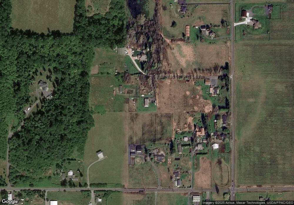
Map
Nearby Homes
- 0 Barr Rd Unit NWM2447654
- 2988 Unick Rd
- 2976 Upland Way
- 3050 Slater Rd
- 3624 Galiano Dr
- 0 Red River Rd Unit NWM2348264
- 6152 Garrett Ln
- 2738 Jenjar Ave
- 2473 Angelina St
- 4513 Pender Dr
- 5963 (Lot 69) Ranch Loop
- 5612 Clearview Dr
- 6041 Brian Ct
- 4772 Beach Ln
- 5948 (Lot 44) Ranch Loop
- 5585 Farmstead Place Unit 4
- 5946 (Lot 45) Ranch Loop
- 5944 (Lot 46) Ranch Loop
- 5942 (Lot 47) Ranch Loop
- 2630 (Lot 12) Sievers Way
Your Personal Tour Guide
Ask me questions while you tour the home.