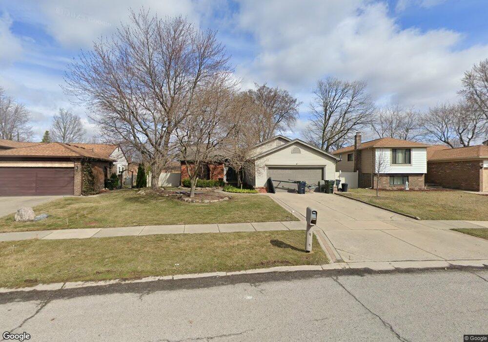
3353 Gloucester Dr Sterling Heights, MI 48310
Estimated Value: $359,915 - $392,000
--
Bed
2
Baths
2,266
Sq Ft
$166/Sq Ft
Est. Value
About This Home
This home is located at 3353 Gloucester Dr, Sterling Heights, MI 48310 and is currently estimated at $375,229, approximately $165 per square foot. 3353 Gloucester Dr is a home located in Macomb County with nearby schools including Holden Elementary School, Grissom Middle School, and Sterling Heights Senior H.S..
Ownership History
Date
Name
Owned For
Owner Type
Purchase Details
Closed on
May 29, 2018
Sold by
Macleod Debra
Bought by
Macleod Debra and Macleod Scott
Current Estimated Value
Purchase Details
Closed on
Nov 22, 2002
Sold by
Bierkamp John
Bought by
Macleod Debra L
Home Financials for this Owner
Home Financials are based on the most recent Mortgage that was taken out on this home.
Original Mortgage
$217,550
Interest Rate
6.23%
Purchase Details
Closed on
Oct 7, 1997
Sold by
Smith J and Smith S
Bought by
Bierkamp J
Create a Home Valuation Report for This Property
The Home Valuation Report is an in-depth analysis detailing your home's value as well as a comparison with similar homes in the area
Home Values in the Area
Average Home Value in this Area
Purchase History
| Date | Buyer | Sale Price | Title Company |
|---|---|---|---|
| Macleod Debra | -- | None Available | |
| Macleod Debra L | $229,000 | -- | |
| Bierkamp J | $175,000 | -- |
Source: Public Records
Mortgage History
| Date | Status | Borrower | Loan Amount |
|---|---|---|---|
| Previous Owner | Macleod Debra L | $217,550 |
Source: Public Records
Tax History Compared to Growth
Tax History
| Year | Tax Paid | Tax Assessment Tax Assessment Total Assessment is a certain percentage of the fair market value that is determined by local assessors to be the total taxable value of land and additions on the property. | Land | Improvement |
|---|---|---|---|---|
| 2025 | $3,483 | $170,700 | $0 | $0 |
| 2024 | $3,360 | $160,000 | $0 | $0 |
| 2023 | $3,189 | $144,200 | $0 | $0 |
| 2022 | $4,437 | $128,900 | $0 | $0 |
| 2021 | $3,197 | $124,300 | $0 | $0 |
| 2020 | $3,039 | $117,000 | $0 | $0 |
| 2019 | $2,852 | $106,900 | $0 | $0 |
| 2018 | $3,023 | $99,600 | $0 | $0 |
| 2017 | $3,251 | $94,800 | $15,700 | $79,100 |
| 2016 | $2,852 | $94,800 | $0 | $0 |
| 2015 | -- | $83,300 | $0 | $0 |
| 2014 | -- | $67,500 | $0 | $0 |
Source: Public Records
Map
Nearby Homes
- 3349 Dobbin Dr
- 3038 Donna Dr
- 3217 Barton Dr
- 3816 Pokley Ct
- 38338 Coronation Dr
- 2452 Jonathan Dr
- 3600 Brandi Dr
- 39198 Faith Dr
- 3096 Reese Dr
- 3601 Denson Dr
- 38576 Cottonwood Dr
- 2168 Keystone Dr
- 4325 Fox Hill Dr
- 38915 Claremont Ct
- 37742 Douglas Ct
- 3514 Bates Dr
- 37440 Curwood Dr
- 37718 Douglas Ct
- 37631 Douglas Ct
- 4622 Ardmore Dr
- 3341 Gloucester Dr
- 3262 Donna Dr
- 3377 Gloucester Dr
- 3329 Gloucester Dr
- 3250 Donna Dr
- 38612 Faith Dr
- 3389 Gloucester Dr
- 3362 Gloucester Dr
- 38607 Filly Dr
- 3350 Gloucester Dr
- 3374 Gloucester Dr
- 3226 Donna Dr
- 38619 Filly Dr
- 3338 Gloucester Dr
- 3165 Sylvan Dr
- 38624 Faith Dr
- 3386 Gloucester Dr
- 38631 Filly Dr
- 3214 Donna Dr
- 3184 Gloucester Dr